Southern Alberta

We stopped in Calgary for the night to visit with Pete, Jude and their family. They have a great Australian Shepard, Gypsum that takes keep away to a whole new level. We chatted the hours away and got some great tips on what to see in Alberta as we made our way back to the border.

We headed east out of Calgary to Drumheller to visit the Royal Tyrrell Museum, the best place for dinosaurs in the world. While most places have one or two dinosaur skeletons, this place had hundreds and working on uncovering more in their lab. Most of the finds are from within Alberta, and in the last 30 years.

20150831_120910

20150831_121224

20150831_114100

The area around Drumheller is the Alberta Badlands, and looks very similar to the South Dakota Badlands. Near the museum we visited some hoodoos similar to the ones we have seen in southern Utah.

20150831_122627

20150831_132014

We then drove south through the Alberta farmland area, taking the back roads through the vast countryside.

20150831_133822

20150831_133827

We camped at McGregor Lake Provincial Park. Being a Monday, and the day school started for many of the kids in Alberta, we had the campground on the lake to ourselves.

20150831_152749

20150831_174641

In the heart of the Alberta wheat farms is the town of Vulcan – Live Long and Prosper.

20150901_065523

They do have a yearly trekkie gathering and many of the cast of the generations of Star Trek have been to the town’s visitor centre. We did note that for the town history log one of the most notable items for the town in 1997 was a new Zamboni – this still is Canada.

We then headed south to the Head-Smashed-In Buffalo Jump museum.

20150901_113329

For thousands of years the plains Indians would lead large herds of buffalo over the cliff to feed the tribes for the future. Besides buffalo bones, scientist found tools that date back to 3500BC and even some as far back to 9000BC is the spring nearby.

The name was given to a young brave who decided to stand below the cliff and watch the buffalo come over. I guess the first few landed safely away from him but as they piled up he was crushed against the rocks. However, I bet it was a “you’ll shoot your eye out” type warning to prevent any of the young kids from doing this exact thing.

20150901_104208

We then continued south to Waterton Lake National Park, the Canadian side of Glacier National Park. We hiked Red Rock Canyon and to a waterfall within the park.

20150901_143926

20150901_150431

We camped at Crandell Mountain campground in the park for our last night in Canada.

20150902_071450

The next day we drove to Lake Cameron, where the far side of the lake is in the US.

20150902_085226

As we drove through the town of Waterton, we saw the best vintage car-trailer combo ever.

20150902_082648

We also stopped at the Prince of Wales Hotel on Wateron Lake. Although the park was fairly empty, parking at the hotel was limited because they were shooting a Bollywood movie at the hotel. The view inside the lobby was pretty amazing.

20150902_093940

20150902_094100

We crossed over into the US after taking three weeks to get from the Yukon back down to the lower 48. We drifted into the nearest gas station with just 10% of our fuel left and then made our way to Glacier NP.

Fire restrictions at the park eliminated the planned charcoal steak option for dinner so we decided to have a nice dinner at the Lake McDonald Lodge instead. Visiting one of the well known National Parks is so much nicer once school starts. There is just a fraction of the summertime crowd so parking and showing up without reservations is even possible.

20150902_175846

We camped at Avalanche campground again (we stayed there last year as we passed through this area), which is a first-come-first served campground that fills by noon in the summer. We drove in after dinner around 8pm and more than half of the campsites were still available. I guess the fire smoke and now rain were also factors as to why more folks were not in the park.

The next day we attempted to drive to Bowman Lake along the dirt roads through the park. The road was closed about 6 miles into the 30 mile trip due to local fires and the smoke was drifting down the road towards us so we turned around. We did spot an osprey nest in an older burn section along the road, and are still wondering how it was balanced up there.

20150903_101742

We drove into Missoula to visit Pam’s sister’s family. We’ll stock up, clean up and hang there for the Labor Day weekend before heading off again further south.

Jasper – Banff

We left Prince George and headed towards Jasper. While the sky was slightly hazy from the forest fires over 500 miles away, the majestic beauty of the Canadian Rockies was clear. Mount Robson, on the BC – Alberta border is an impressive chuck of rock that is the gateway to the Parks along the range.

20150826_110519

By the time we got to Jasper, the smoke was thicker and very noticeable, capping the taller mountains from view. Since the smoke was coming from the southwest direction, we headed northeast to the upper corner of Jasper park.

20150826_123141

We camped at the Pocohontas campsite, which was just down the road from the Miette Hotsprings. We started our day relaxing in the hot springs before heading out to explore. We saw a rather plump black bear on the road up to the springs. That bear was definitely going to sleep a long time this winter.

20150827_090355

As we dropped south towards Jasper again, the smoke was not as heavy as the previous day, but still evident. Jasper Lake was along the way and is a very shallow lake. Folks were out there quite a ways and only to their knees in water.

20150827_095953

We were lucky enough to catch these guys right by the side of the road. The last one decided to give Pam and the Roamer a stare-down for her last shot.

20150827_101529

We hiked Maligne Canyon, where the water has cut a very interesting path through the limestone.

20150827_111041

Maligne Lake looked like a postcard with the trees and mountains. It rained off and on during the day, which helped to clear the smoke out of the air.

20150827_121952

This was a picture of Annette Lake, just outside Jasper, which we visited on my Mom’s birthday.

20150827_134701

We camped at Whistler campground, just outside Jasper, and began our falls exploration the next day. The first falls we visited was the Athabasca Falls. It too cut a beautiful path through some limestone down to a lower river segment.

20150828_095025

20150828_095155

The next set of falls were the upper and lower Sunwapta Falls. They were separated by a nice hike through the forest.

20150828_104245

20150828_104551

As we continued south we hit the Columbia Icefield, which is the dividing line between the Jasper and Banff Parks. The weather had moved in about this time and most of the icefield was hidden in the clouds. The big attraction there was to ride a bus up onto the glacier and walk around. While the visitor center was a very nice building, it was packed with way more people than we had seen in some time. We grabbed some information on Banff, snapped a couple pictures and got out of there.

20150828_123209

We camped in the Waterfowl campground in the Banff Park. While we had not needed to use our insect room for the entire Alaska and Yukon segments of the trip, we set it up here as the perfect drizzle canopy to enjoy our evening fire in the light rain.

20150828_151342

The panoramic views during our drive were just amazing. We had some vistas that were during the rain and later on during periods of sun as we made our way through the park.

20150829_083102

20150829_084823

We attempted to go to Moraine Lake during lunchtime on a Saturday. We never made it due to the number of people and the lack of parking near the lake. We were turned around by the traffic control guys and pulled off the side of the road to have lunch just down the road from the lake. There were signs that said it would be difficult to find a place to park between 10am and 4pm at either Moraine Lake or Lake Louise so we instead found a campsite at Castle Mountain campground, had an early dinner and then headed back to the lakes at 6pm.

20150829_103713(0)

Parking was available in the evening and Moraine Lake was beautiful. We heard a Pika (sounds like a squeak toy and is related to the rabbit family) in the rocks but couldn’t see it. As we were hiking out, it popped out of the rocks about a foot away from us with some flowers in its mouth for its den. It scampered through the rocks into its den and then popped out again to follow us down the rocks. I tried to get a picture of it, but he was too quick and all I got was his blur dashing across the rocks.

20150829_170345

20150829_170844

After Moraine Lake, we visited Lake Louise as the sun was setting and the weather rolled back in. It was beautiful but it does attract many people. The hotel there will have to be a future trip sometime (until we see the rate to stay there – lol).

20150829_174435

We attempted to visit the town of Banff, but that was a joke. The small town was packed and attempting to find a legal place to park the Roamer anywhere close to town was impossible. We then pointed south and left the park, stopping instead in Canmore.

20150830_120815

We found out later that Canmore was a sleepy little mining town until the 1988 Calgary Olympics. Many of the skiing and Nordic events were run out of Canmore. The place boomed but was way more accessible compared to Banff. We stopped and visited the Grizzly Paw Brewing Company for an awesome lunch and a flight of their really good beers.

20150830_111933

That wrapped up the Jasper – Banff adventure. There were many more hikes and things to see further off the main route, so we’ll be back.

Northern BC

We were in a connectivity dead zone since leaving Anchorage a few weeks ago. We don’t have a Canadian data plan for our phones, and it really wouldn’t have mattered because there was no signal throughout most of our route through the Yukon, NWT and northern BC. We’ve been stopping into diners (eating poutine) and staying at campgrounds with free WiFi every once in a while to catch up on some emails, but most of those networks were so weak on data rates that uploading a blog was not possible.

Heck, most of the towns we’ve passed through until central BC have their own electrical generators because there is no electricity coming in from a large nearby power plant. A huge powerline system is now being erected up into northern BC to power some mining operations, which will now provide power to many of these smaller towns along the way too – progress.

In one of the diners along the way that had a TV, we saw that the northwest forests are burning, which is a shame since there is so much water up here in the rivers, lakes and even in the recent weather. Clouds bunch up and it rains, and then the clouds break apart for a nice partially blue sky day. This cycle repeats itself every few hours so every day will be both sunny and rainy. The benefit of this pattern is that rainbows will appear during the transition.

20150819_165359

The Yukon Territory, which is larger than California, has a population of less than 40,000 people. Can you imagine California with only 40,000 people? The NWT, which is about one and a half the size of Texas has a population just over 40,000. Therefore, there is a lot of open country up here.
In fact, the maps we have don’t even have a dedicated page for each of the roads in the Yukon, NWT or the top half of Alberta or BC because there are so few roads one page easily covers them all. One guy we were talking to summed up how remote you are here – if you have an accident up here, they will just put yellow tape around your car on the road and it maybe days or even weeks before one of the few tow trucks is available to move it. However, it’s such a beautiful place and full of frontier type opportunities that it makes me wonder how bad can the winters really be?

Southern Yukon has a large Tlingit native population, the same native clans that inhabit Sitka and Juneau. These clans traveled inland to hunt and trap, providing many of the furs for the early Russian and American traders. We visited a couple of their museums in the area.

20150820_085543

One Tlingit native named George Johnston was a really interesting guy, and something of a visionary. He bought the first camera and the first car in the area back in the 1920s with his fur trading profits. He learned to develop his own pictures and they recorded the daily life of the proud clans prior to all of the transitions that the Alaskan Highway construction and missionaries brought to their way of live in the 1940s. There were no roads in his village when he bought the car. He and a few buds cut a path of 3 miles through the forest to create a road, but mostly he used the car in the winter to drive and hunt across the huge frozen lakes in the area. The section of road they did cut became part of the Alaskan Highway when it rolled through this area.

20150820_090806

We left the Yukon, dropped into British Columbia and headed down the Cassiar Highway on the western side of BC. The Yukon provincial campsites we stayed at were very nice. They all cost $12 and even provide free fire wood.

Once in BC we stopped for the night at Boya Lake, a BC Provincial campground. The BC campgrounds cost $18 a night, no fire wood, but they do have a host that will visit and chat. The lake was a glacier run-off created lake where the bottom is the settled white glacier granite powder. The water was extremely clear, possibly because the powder prevents vegetation growth in the lake. The lake appears as about every shade of blue depending upon the depth and the amount of sunlight due to the reflective white bottom. We camped next to a couple from Vancouver that have been coming to the lake for the past 24 years to paddle this lake and portage into the nearby lakes in their two person kayak. Pam and I need kayaks, or a boat. I think I discussed this last year when we hit Minnesota. Mounting it or them to the Roamer will be the trick.

20150820_164329

Heading further south we ran into several stores along the highway that you have to stop and visit because they are the only thing along the road for many, many miles. One had everything from $1 tourist magnets to $20,000 diamond earrings. His rationale was that folks stop in there driving $500,000+ RVs and obviously have some disposable income, so you never know. Another store was in jade country and had some amazing pieces of boulder-size raw and finished jade rock.

20150821_103552

The road through this section of BC is beautiful. The place is thick with forest and bears. We saw several black bears like this just sitting along the side of the road, eating berries and grass.

20150822_092210

We camped at another BC park named Kinaskan Lake, another beautiful lake and another reason to have kayaks. Since we don’t have kayaks, we watched the lake traffic from the shore in our Bass Pro Shop zero-gravity lounge chairs (a must for any long trip or serious lounging). The traffic included a couple of float planes doing take-offs and landings, several kayakers, a few fishermen in their blown-up rowing boats (do fishermen ever snag their inflatable boats with their hooks?), four huge rolls of hay being barged across the lake by a couple and a dog using a 10 hp outboard motor on a very small aluminum boat (not moving very fast), and also a new bird – the surf scooter or skunk head duck, given the name due to its white streak on the back of its black head – lifer.

20150821_155728

We then departed the Cassiar Highway for a coastal side adventure to Stewart, BC and Hyder, AK. Hyder is known as the place to see bears stream-feeding on the spawning salmon, and it is only accessible by a road through Stewart. It’s interesting that the land-locked Hyder does not have a border crossing station coming into the US from Stewart, but the Canadians have a station when you re-enter Canada from Hyder. This is the Canadian station on the bend as you leave Hyder.

20150822_174217

The Canadian border guard caught us off guard when she asked, “what do you have in the back?” I felt like saying the same stuff we had a couple of hours ago when we crossed over, but realized that may not lead to a good afternoon.

While they tell you about the bears and the spawning salmon in Hyder, what they don’t tell you about is the smell of the dead salmon. The stream was filled with nearly a hundred 3-foot long chum salmon spawning in pairs, but there was an equal number of partially eaten or spawned and died salmon along the banks of the river, offering some easy food for the seagulls.

20150822_170058

There is a dirt road out of Hyder that actually runs back into BC (no border guards in either direction for this crossing) up through the mountains to the Salmon Glacier.

20150822_153306

It began to rain as we drove up the mountain. We sat at the glacier viewpoint in the clouds for about an hour having lunch, and we were just about to leave when the clouds parted in the valley below.

20150822_153614

Just the end of the Salmon Glacier was visible. The rest of the glacier and the ice field above were still blanketed with clouds.

20150822_151557

One person at the top suggested we continue on over the hill and into the next valley with our rig. It looked very tempting, but we’ll save that for the next trip.

20150822_153824

We drove back down to Hyder where the bear viewing area was located. There is a boardwalk viewing deck along the river to see the bears, which eat in the morning and evening. We talked to a couple that had been there the last couple of days and found out we would be waiting a few hours for any sighting. Given the screeching seagulls and the dead fish smell that engulfed the area we decided that maybe we’ll see the bears eat salmon next time.

20150822_172430

20150822_172305

We camped in Stewart for the night and headed back to the Cassiar Highway in the morning. We hit the end of the Cassiar Highway at the junction of the Yellowhead Highway, which runs from Prince Rupert on the coast to Edmonton, Alberta. We turned towards Prince Rupert and headed for the coast once again.
The road into Prince Rupert has some spectacular sections like this tight canyon next to the river. As we approached the coast the clouds rolled in and we were reminded once again that it is a coastal rain forest.

20150823_092106

Prince Rupert was a neat little town. Since it has a cruise ship dock it does cater to the tourist crowds. Similar to Seward, many of the buildings had murals. Notice the door on the third floor above the fluke. That’s a whale of a first step – lol.

20150824_095916

The area along the coast was very lush and beautiful.

20150824_121457

We toured a historic North Pacific Salmon canning plant in Port Edward, just outside of Prince Rupert. It was interesting to read about the typical transition from native and immigrant workers to mechanical automation to market crash and the impact each had on the local town. The cannery is in the midst of being renovated and there was a lot of interesting equipment inside, but no anvils.

20150824_124629

We left Prince Rupert and headed towards Prince George, located near the geographical center of BC. Driving along the Yellowhead Highway we both realized that we were no longer in the wilderness. We passed many hay fields, cows and even power poles along the highway on our way to Prince George, things we hadn’t seen since we left Bellingham. It appears this highway is the dividing line for BC, north of the highway is wilderness with a mostly migratory population, south of the highway is year around civilization.

Our next stops are Jasper and Banff. Neither of us has ever been there so it will be exciting to see the beauty so many have told us about. The Northwest forest fire smoke has choked the sky over Missoula and Calgary. We’ll see how much further north the smoke goes as we approach Jasper.

NWT and the Dempster

We left Alaska and entered Canada along the Top of the World Highway.

20150814_121515

This area is very remote so it has been a nice quiet few days to enjoy the area.

We got to Dawson City, where you have to take a ferry to cross the Yukon River, a very fast moving river. The little ferry seems to struggle to make the crossing but it does it six times an hour, 24 hours a day carrying everything from over-sized construction trucks to ten cars every trip.

20150814_140825

As we left Dawson City heading towards Whitehorse, we noticed another road north to the Arctic Circle in the Yukon. The big three Ds of remote roads are the Denali, the Dalton and the Dempster Highways. This was the Dempster Highway, the Canadian version of the Dalton Highway – we had to take it.

Tombstone Provincial Park is near the southern end of this road. We stopped for the night at the park’s Interpretive Centre in a beautiful valley.

20150815_092312

The campground was full so the overflow was actually the visitor centre’s parking lot. This worked out well for us because it was free and right next to the beaver pond trail. We hiked to the pond and watched four beavers working away on their incredible multi-level dam. I’m still convinced that California’s long term water solution is tied to beavers.

20150814_175115

Tombstone Park is named after the Tombstone Mountain, the spike mountain at the very end of this beautiful valley.

20150815_092736

The tundra and landscapes were pretty special as we drove up the Dempster Highway. The tundra reminds us of the southwest desert, very remote and beautiful. I got my hair cut in Anchorage by a lady who moved to Alaska from the Phoenix area. She said the Arctic is the same, but different from the desert, which I totally understand. It’s cold versus hot, but both are remote with tremendous vistas, incredible beautiful, teaming with life if you know where to look, and can be very unforgiving for the ill prepared – the same, but different.

20150815_103832

20150815_161117

At one of the few stops along the highway for food and gas you get to see some interesting truck loads that are being delivered to the north. I wonder what the story behind this was, “send me the building materials I ordered and throw on my snowmobile”.

20150815_145531

We made it to the Arctic Circle for the second time this trip, and the area was more like I expected with tundra all around. The Porcupine Caribou herd of more than 100,000 caribou pass through this area, but we didn’t see any – must have been hiding.

20150816_074617

We then continued further north until we entered the Northwest Territories.

20150815_162517

We camped at milepost 4km into NWT on a hill overlooking a beautiful tundra-covered valley.

20150815_174901

The road continues on to Fort McPherson and Inuvik in the NWT. You can see the dust that is kicked up by the occasional traffic on the road.

20150815_180411

I cooked up some caribou meat patties we picked up in Anchorage. Pam equated the taste and consistency to another mechanically separated meat product, but I liked them. But then again, I like Slim Jims too.

After dinner Pam spotted a Muskox grazing across the tundra below us. We watched it for some time making its way across the tundra. However, subsistence hunting season in NWT opened in early August. A pickup popped over the horizon about a half-mile away from us and also spotted the muskox moving towards their position. They stopped and three guys jumped out. One had a gun and we watched as he closed on the muskoxen and took it down from about 50 yards with 6 shots (obviously shooting is not his strength). Another pickup stopped and four more folks jumped out and we watched over the next hour as the seven hauled 11 large loads of sectioned muskoxen to the trucks, probably around 400 pounds of meat.

After they left the clouds slowly descended onto the hilltop and we spent the arctic twilight in fog that was still there in the morning. It was so quiet there you could hear the mist as a very light drizzly on the tundra. I guess this was the original “white noise”.

20150816_055745

When turned south and dropped off the mountain in NWT and back into the Yukon. Looking back we could no longer see the mountain range up where we were camped. The mountain range and fog roll ran for many miles along the horizon and looked like a spectacular, slow-motion, 1000-foot high wave breaking over the range.

20150816_065654

We dropped back down the Dempster Highway and then headed south towards Whitehorse. We camped at the Moose Creek campground, a Yukon provincial run campground about halfway between Dawson City and Whitehorse. Firewood is free at these campgrounds, but the wood is provided in entire tree cross-sections. I had to break out the Roamer’s axe and split some wood for the first time in a long time for our fire.

20150816_173707

We also hiked a nice trail up Moose Creek to Stewart River at the campground. The path was a forest path with many squirrels giving alarm as we passed, and several spruce grouse appearing along the way.

20150816_164859

It’s much greener as we drop south, and the nights are much darker. I saw my first star at night in quite some time. The road to Whitehorse passes through some heavily forested areas. Occasionally, the scenery breaks into a vista like the Five Finger Rapids along the Yukon River, a narrow path between the near bank and the island the big stern-wheeler ships needed to navigate to get from Dawson City to Whitehorse.

20150817_103934

Whitehorse is the capital of the Yukon Territory. We stopped there for a couple days to restock, clean the calcium chloride grime off the Roamer again, do laundry and sight-see. We also had an oil change for the Roamer and the other light bracket welded back on similar to Valdez after it failed sometime while in Whitehorse. It was just a matter of time before it failed like the other bracket and I guess the Denali, Taylor and Dempster Highways helped to even out the lives between the two brackets.

We camped next to a group from lower BC that took many of the same routes we took, but had four blown tires and two broken suspension springs on their three rigs. So a couple of broken attach brackets is not so bad.

Whitehorse has a transportation museum with the world’s largest weather vane, a DC-3. The bearing must be incredibly low friction because a light wind causes the huge plane to smoothly spin and align itself with the wind.

20150818_090630

We also found the next Roamer upgrade in all-terrain vehicles. Instead of a tire spoon to maneuver the spares around you may need a tire backhoe. I wonder if it’s WIFI enabled? You could probably pass a Prius with this thing while still in the same lane.

20150818_095253

We also visited the world’s largest fish ladder that provides a path for the Chinook Salmon to get to their spawning grounds around the hydro-electric plant on the Yukon River.

20150818_082950

The salmon pass through a section where they are counted and documented. It’s incredible to think that these fish travel nearly 2000 miles up the Yukon River, which is a very fast moving river, from the Bering Sea to the Yukon River headwaters just outside Whitehorse to spawn. They cover nearly 20 miles a day during this journey with everything in the world trying to eat them along the way.

20150818_082105

We also visited the Yukon Brewing Company here in Whitehorse. Yukon Red is a rather nice beer that both Pam and I enjoy. The price of gas and beer is still high, but with the Canadian dollar at 76 cent to the US dollar the sting is not as bad.

We’ll be heading to Watson Lake and south into BC. We both miss the tundra, but other travelers have told us great places to stop on our way south.

Alaska Completed

Before leaving town, Pam and I met up with Alex and Marcie again for some great pizza at the Moose’s Tooth restaurant in Anchorage. I was glad I could fulfill my offer to bring some fresh caught halibut back from the peninsula. We handed off several pounds of halibut fillets, said our goodbyes and headed north.
There were just three stretches of the Alaskan Highway system we had not traveled on yet that were now our objective: one, the Parks Highway from Anchorage to Denali; two, the Tok Cutoff into Tok from the south; and three, the Taylor Highway in eastern Alaska that is part of the Klondike Loop into Canada.

Traveling on the Parks Highway would also give us another opportunity to see the Denali mountain, which was hidden behind clouds on the four previous days we in the park area and could have seen it. Intermittent rain as we drove north out of Anchorage did not fill us with confidence of a sighting so we stopped for the night at Byers Lake Campground, on the southern end of Denali Park.

The lake there was another pretty Alaskan lake. We went for a hike to the boat launch and dock area. A few families were at the dock with at least six Labrador retrievers. One of the guys had a duck retrieving training toy that he was whipping into the lake so all of the dogs were very happy and very wet, including a couple of their kids too. Pam and I were adequately sniffed by all of the dogs as we approached, but luckily none decided to dry off next to us. Here are two of the dogs swimming out into the lake after the toy.

P1050596

The next morning began with large patches of blue sky, which has become the weather trend for this time of year. It’s never bad weather all day, nor is it blue skies all day, and whatever it is now will be the opposite by the end of the day, and opposite again in the morning. Therefore, it’s always sunny wherever you are, you just need to wait for it long enough.

As we drove north there were a couple of Denali Lookout points, but the few pesky clouds were still gathered around the peak at these lookouts. As we crossed over the last high altitude pass north we looked to the west and there it was. Even at 45 miles away the mountain dominates the horizon. It’s pretty impressive and dwarfs the several thousand foot mountains that are its foothills.

20150811_111838

With that stretch of road complete, and the bonus of seeing Denali, we headed towards the other two stretches on the east side of Alaska across the Denali Highway for a second time. It was again a beautiful drive, where the recent weather had given the Alaskan Range mountain tops a dusting of snow.

20150811_123009

We originally thought to camp along the Denali Highway when we left Anchorage before pulling off at Byers Lake. It was a good thing we changed our minds because every pull-off along the highway was now occupied by a truck or ATV trailer. Caribou season for local subsistence hunters opened the day before and they were out in force. The caribou are starting to herd up for the winter and are on the move now, but we didn’t see any along this stretch of the drive.

20150812_115329

We hit the Tok Cutoff road heading north and realized that the northern entrance to the Wrangell-St Elais NP is off of this road – so we took it. We headed down Nebesna Road and camped at the Dead Dog Hill Wayside pull-off, a spot with a single picnic table and fire pit. We had a panoramic view of a beautiful black spruce boreal forest and our own glacier-made kettle lake with two trumpeter swans. The sunset was pretty spectacular as the weather moved through, but the morning view was even better when from behind the evening clouds Wrangell Mountain came into view on the right above the clouds.

20150811_215223

20150812_065200

We had a nice evening fire and I cooked up bacon cheeseburgers on pretzel rolls for dinner. This spot is now a solid top ten spot. A Swiss photographer showed up in the morning snapping a lot of shots. He and a buddy drove the 20-some more miles down the pot-hole riddled road to the official park campground, but according to him, the view was not nearly as nice as what we had.

He and his buddy (who was still snoozing at the campground) had started their Alaskan trip with the objective of backpacking through the tundra north of the Arctic Circle, but quickly realized that the very uneven tufted growth of the tundra surface is not a great place to hike with heavy packs. They have since been driving around car-camping, but seemed to hit every location in the rain (obviously moving too quickly to let the weather clear). Therefore, he was in heaven when he saw the view from our wayside pull-out.

20150812_080954

I told him how the scenery changed over time the previous night, from rain to partly cloudy, to a blanket of fog rolling through, but below the treetops after the sun went down. He was so happy to finally get some good pictures with his camera and lenses that I’ll be surprised if he didn’t come back after leaving the campground and stay at the pull-out after we left.

We had breakfast, broke camp and heading north arrived at Tok, one of the first towns we came to after crossing the Canadian border several weeks ago. Crossing our old path in Tok completed a several thousand mile loop of Alaska. We’re currently over 8,000 road miles for the trip so far (not counting the ferry miles from Bellingham to Haines). We’ll see if we break our last year’s trip mileage of 12,600 miles.

We then headed north to Chicken along the Taylor Highway, the last stretch of untraveled Alaskan highway. Chicken is a very small gold mining town. Apparently they wanted to name it Ptarmigan, the wild Alaskan bird that looks like a chicken, but none of the original miners knew how to spell it, so it became Chicken.

P1050610

The road there was full of great vistas and the ground cover is starting to show signs of fall colors up here. It’s dropping into the 30s at night so I’m sure it will be cool weather from here on out on this trip. We came across a moose and two babies walking across the road on our way to Chicken. The babies are noticeable larger than the ones we saw just a month ago.

20150812_120131

Chicken has just a few buildings in town. We spent the night at the Gold Panner’s RV Park, which like most RV parks is just a parking lot. The town has everything named with a chicken related theme, even including the outhouses, the chicken poop. The 15-foot chicken sculpture has the distance (as the chicken flies) to every city in the world with a chicken related name, like Hatch, New Mexico.

P1050604

They even have a summer music festival in June called Chickenstock with a pretty unique stage.

P1050606

We mentioned to a local shop owner that we had traveled on every highway while in Alaska, feeling proud of our accomplishment, only to be slammed with her reply – well there are only five highways in Alaska. What a buzz kill.

We headed out of Chicken to Eagle along the Top of the World Highway. It has all kinds of driving warnings due to the condition of the road in the Milepost book (which is part of the reason we took it). Not far outside of Chicken there was a large RV pulling a car that got too far over for an oncoming vehicle and slid off the road, tipped over the bank, and was resting on its side wedged down in the trees. Luckily no one was hurt, but you begin to appreciate how remote you are when you think about the timeline for this vehicle to get pulled out and to the nearest garage about 100 miles away.

The road splits further outside of Chicken and we took the path north to Eagle. The other path goes to the Canadian border and Dawson City, Yukon. The Eagle road is another beautiful road to drive with even more warnings to keep traffic very low. It actually was a nice dirt road due to the low traffic, but it was just single lane wide at some spots, which is common for remote roads anywhere. We stopped for lunch on a tundra plateau with a great 360 degree view.

P1050611

Pam spotted three caribou in the area, where two of the racks were visible in this shot. One of the bulls stopped to check us out as we watched them graze through.

20150813_131904

Eagle is a relative metropolis with a population of 87 compared to Chicken. Surprisingly, the history of this town on the mighty Yukon River was very impressive, nearly rivaling Sitka. Because of its location on the Yukon River and proximity to the Klondike gold area it was the first incorporated city in the Alaskan interior in 1897. A military fort was established here, Fort Egbert, to provide law and order to the area , and to build the WAMCATS – Washington-Alaska Military Cable and Telegraph System at the turn of the century. Communication between these two points went from taking an entire year to just a few days. A young Army Lieutenant Billy Mitchell stationed here got the cable system connecting Eagle to Vadez completed. He later was the visionary that pushed for the Army Air Corps in WWI that later became the Air Force of today. It was even the judicial center for all of central Alaska, and it wasn’t clear how everything then moved to Fairbanks from Eagle to leave this hamlet a shadow of its old glory.

20150814_093418

The town has some interesting houses. This person is obviously a bird lover.

20150813_150818

They also have some great vehicles for sale there. Big Red did a road trip to Eagle?

20150814_094057

We camped at the Eagle BLM campground for the night listening to the local radio station FM 97.7, which plays the greatest collection of eclectic music from church organs, to Sinatra, to folk, to blues and even barbershop quartets with no commercials. It was great listening to it and we were sad as we drove out of town and the station faded away.

So ends our Alaska trek. We crossed into Canada and began our next leg of this trip down through the Yukon and the Canadian Rockies. We’ll definitely be back. As one guy we ran into recently stated, “I came up here just to see Alaska too, that was 30 years ago”.

Kenai Peninsula

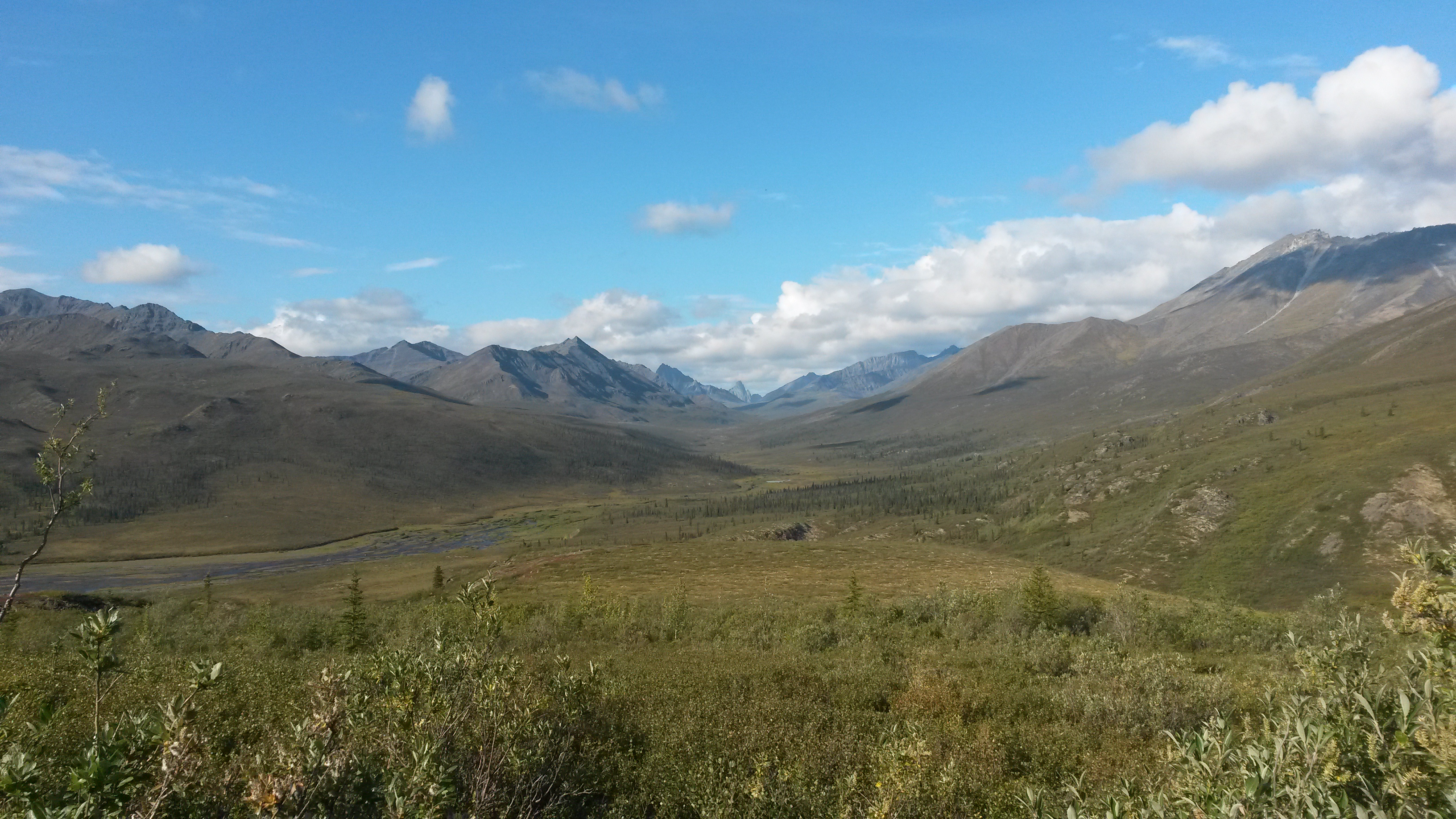
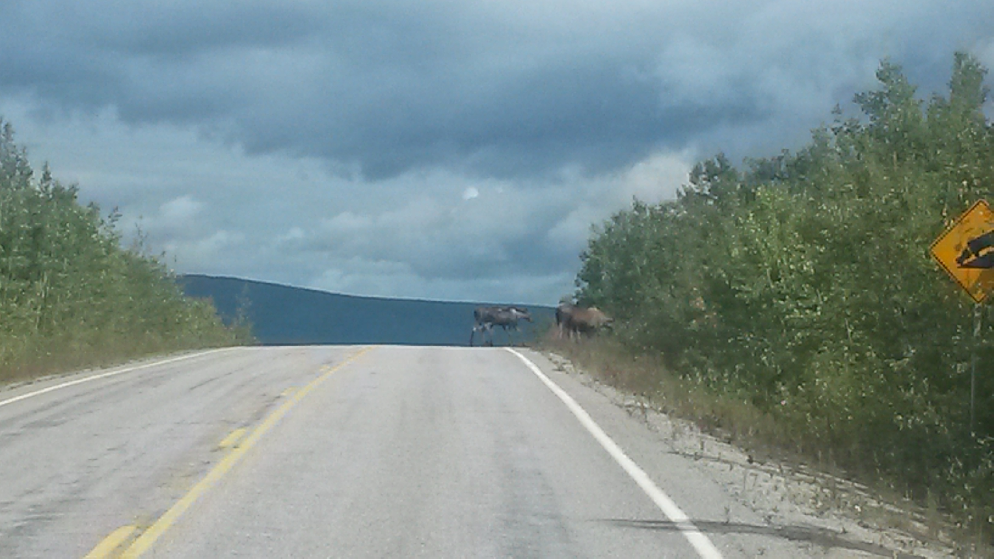
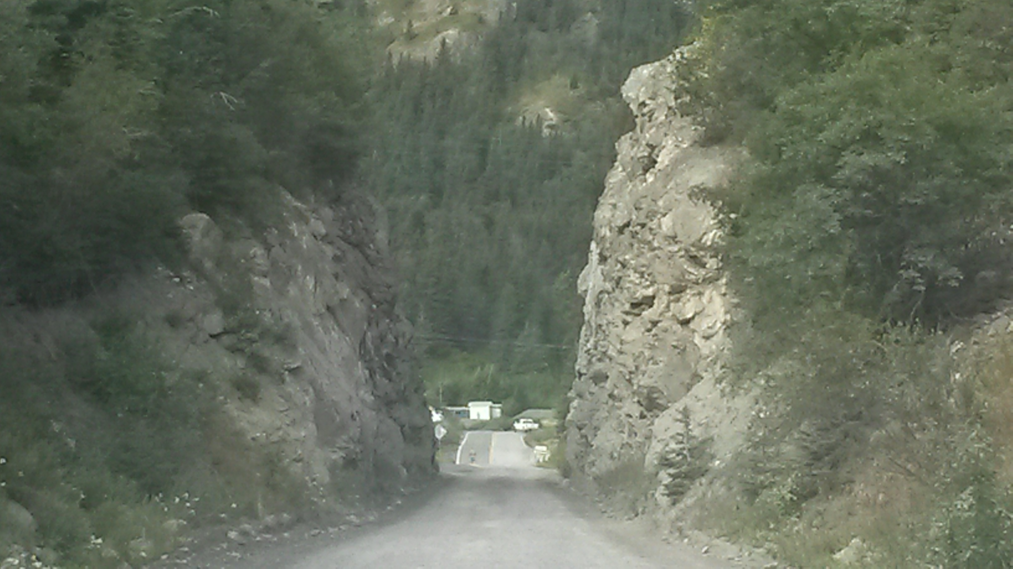
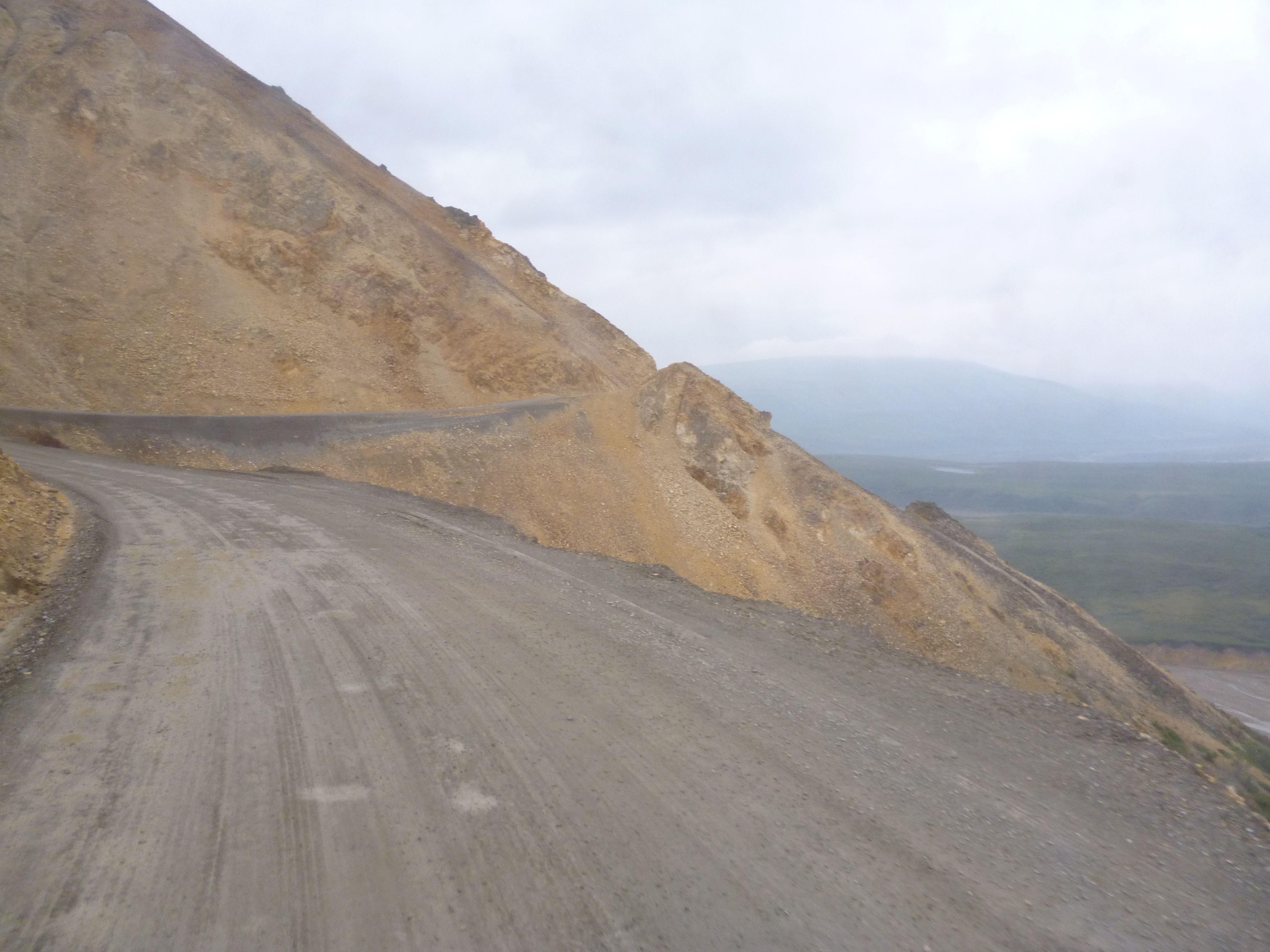
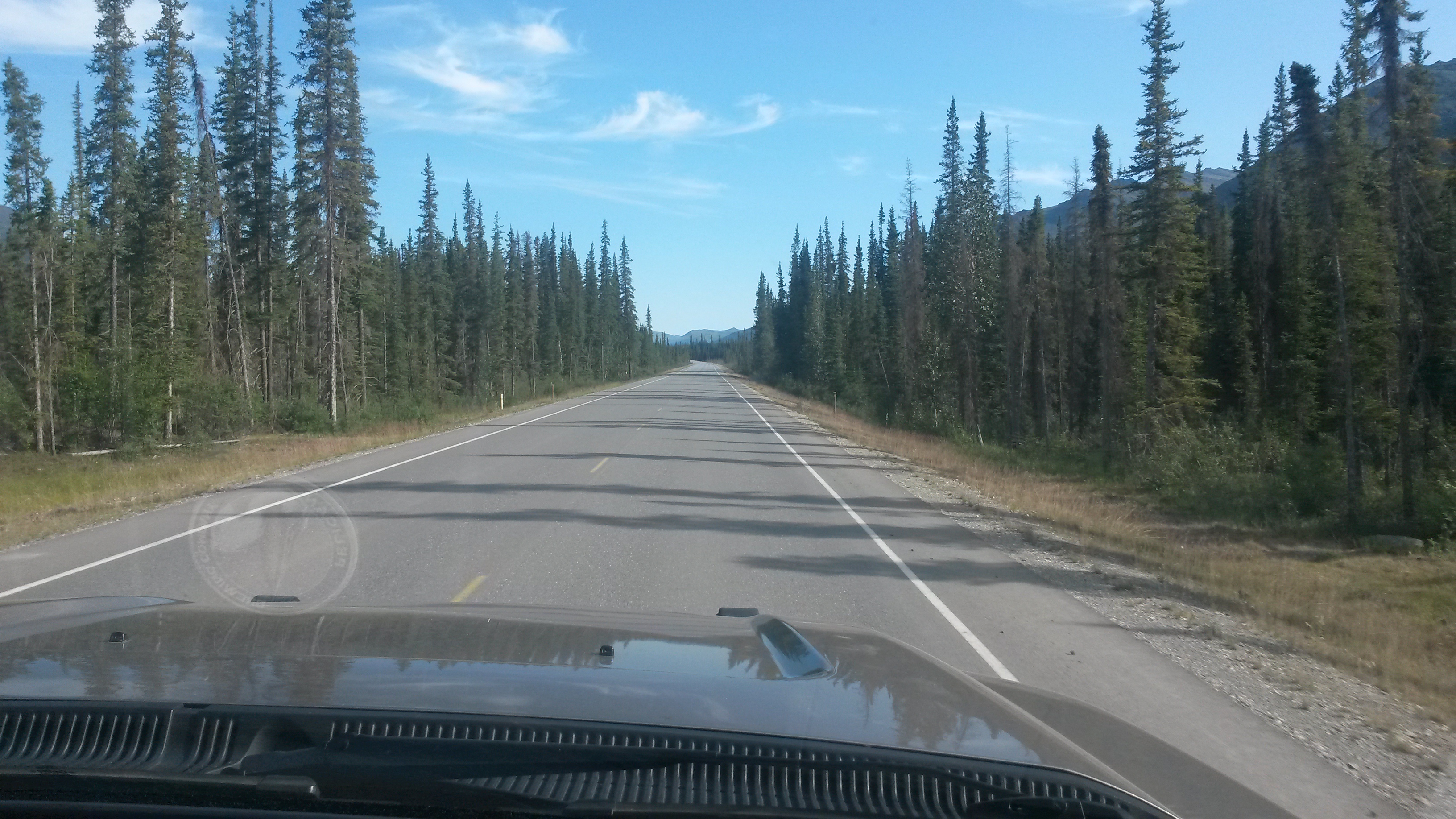
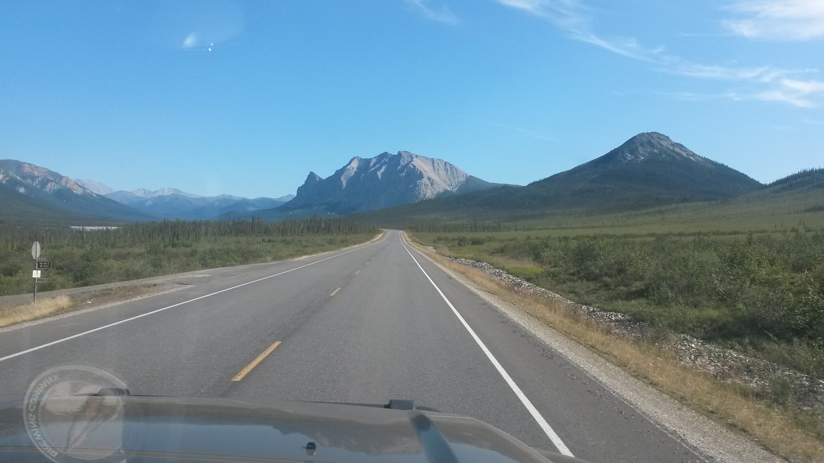
We traveled south from Anchorage, along the Seward Highway, a very scenic and winding coastal road. It was clear from the traffic heading south that the Kenai Peninsula is Alaska’s vacation playground in the summer.

P1050443

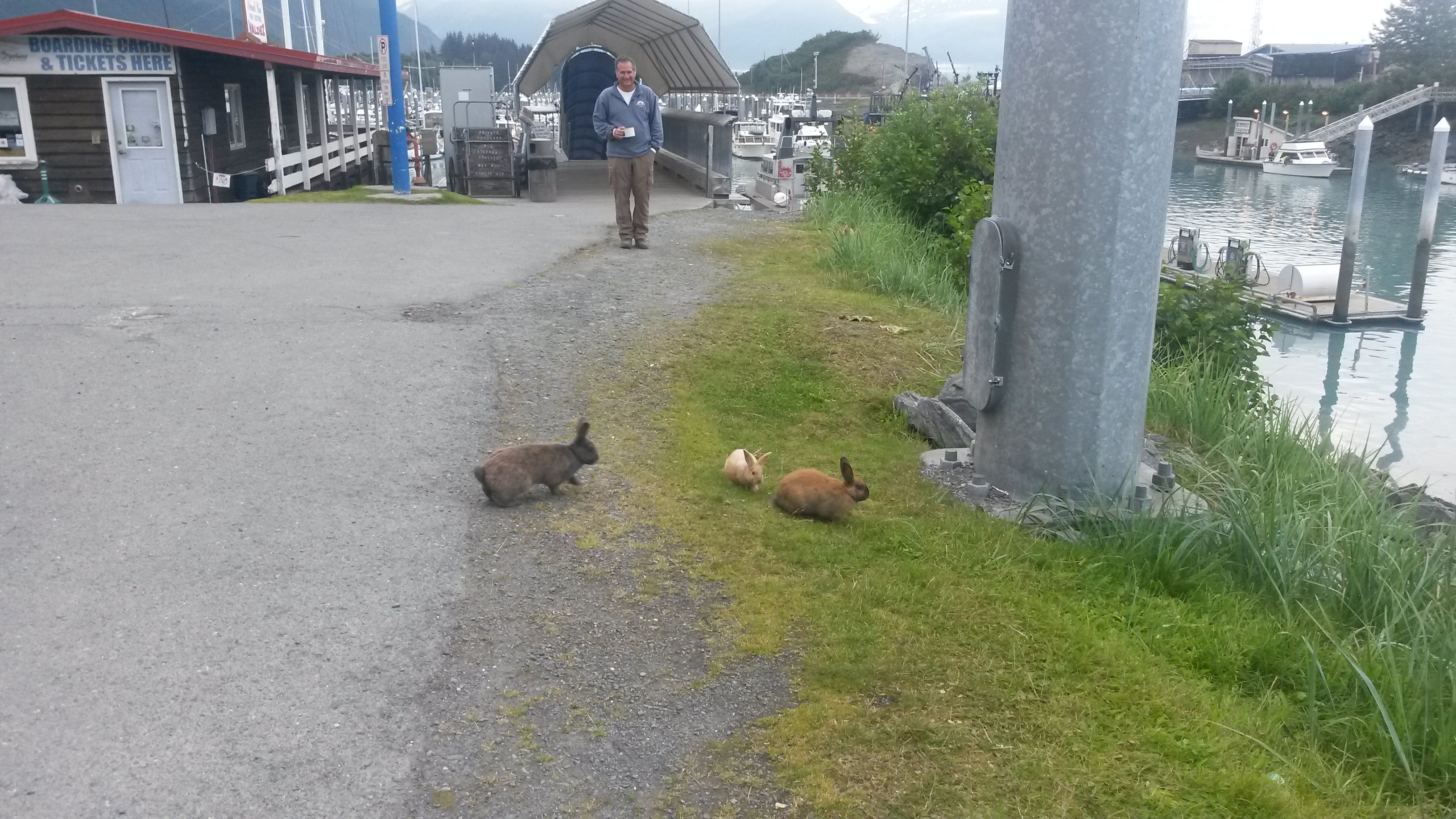
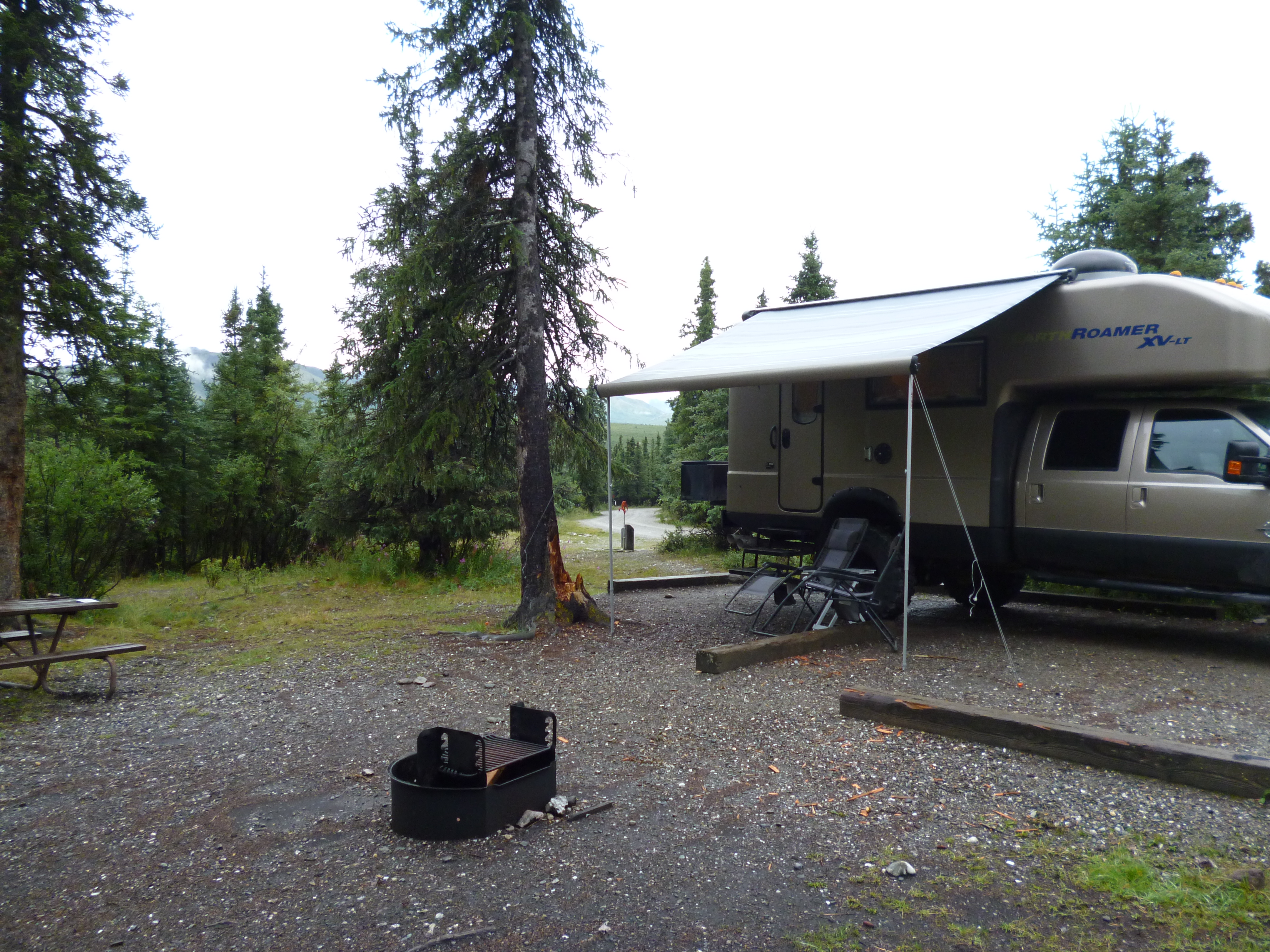
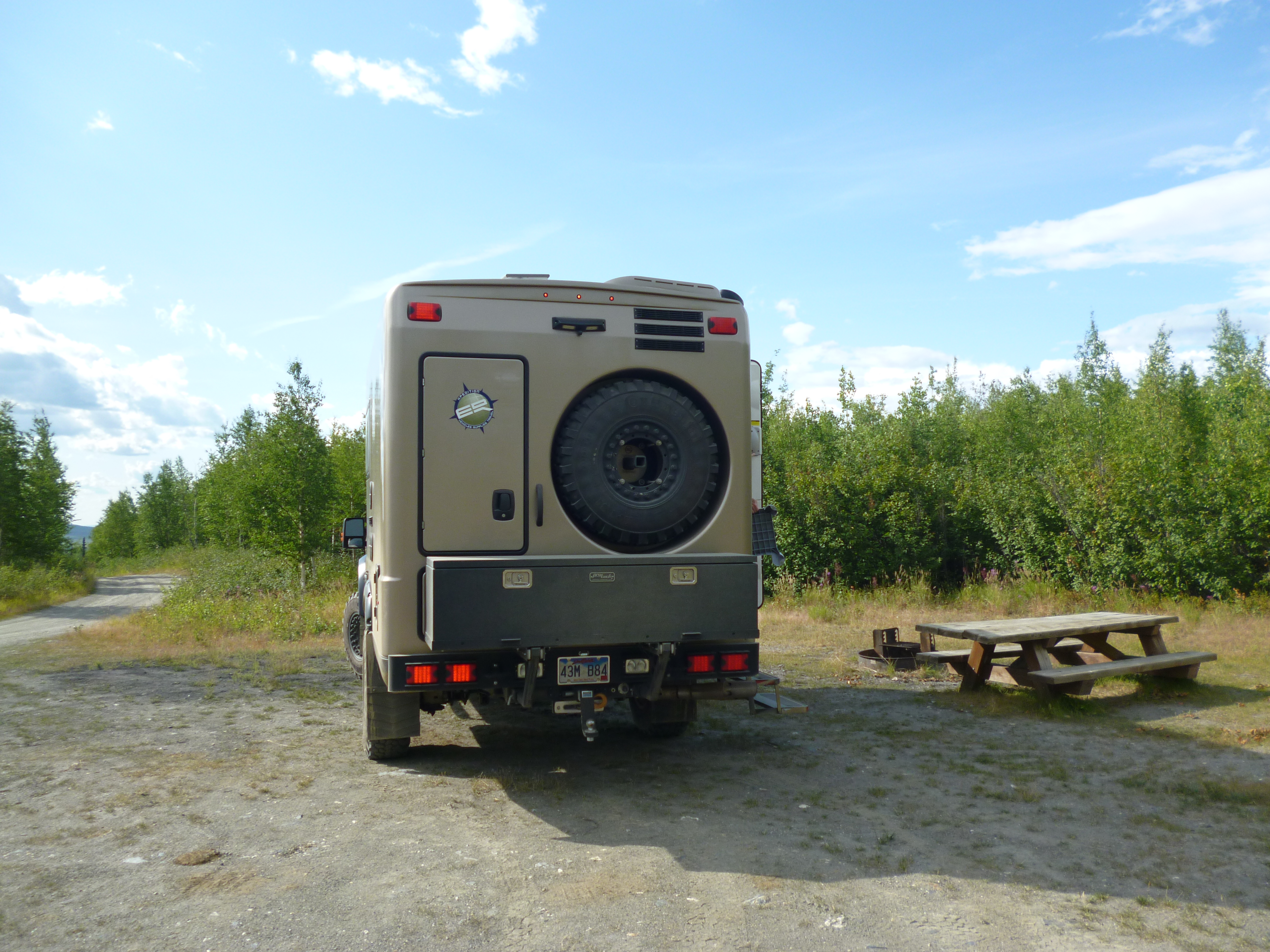
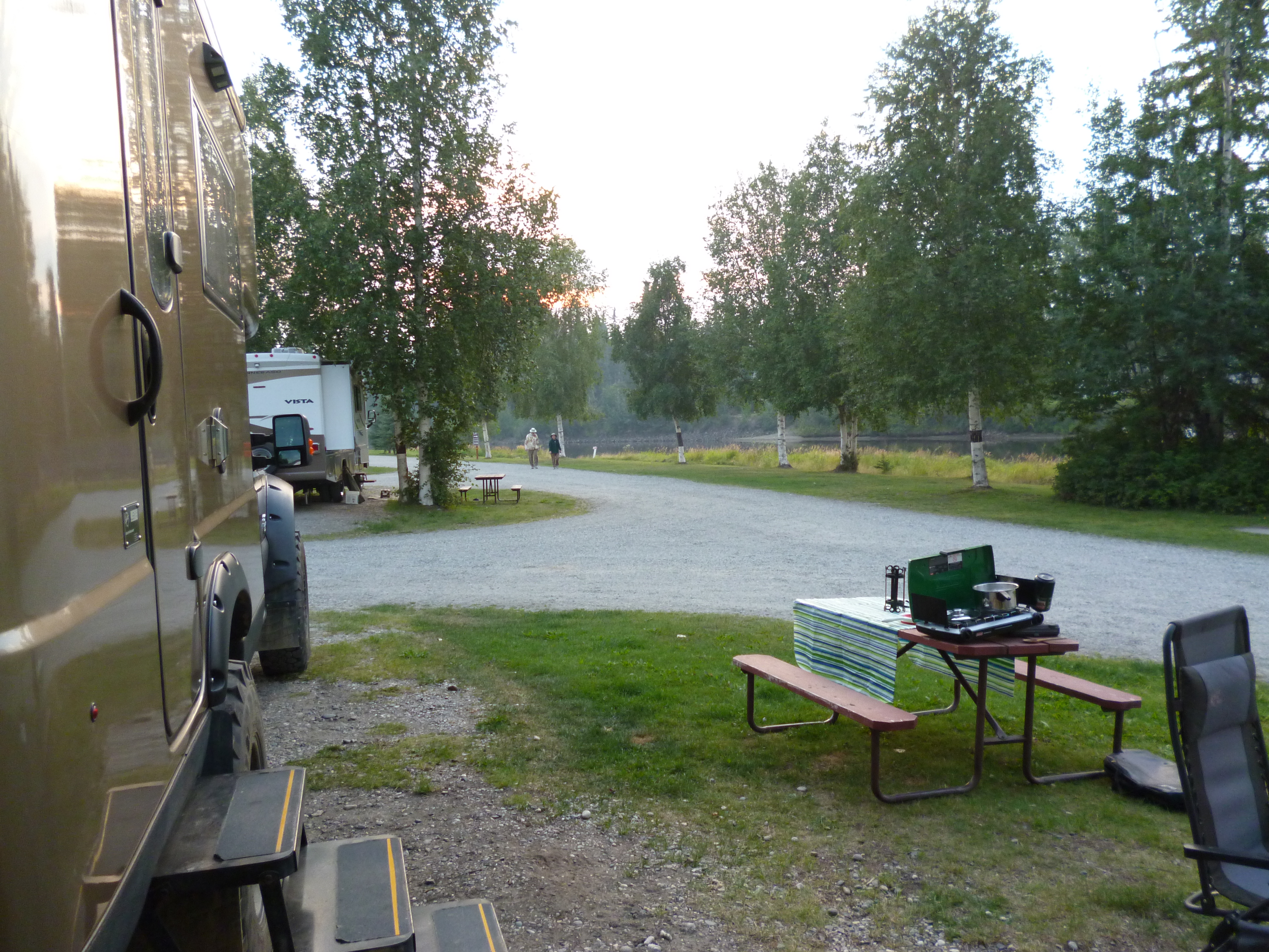
Because of all of the errands we ran in Anchorage, we didn’t arrive into Seward until late in the afternoon. The camping in Seward is all along the coast, but all of the waterfront spots appeared to be taken. However, as we pulled into the Seward Waterfront Park, a guy came up to the Roamer and said that his buddy has just called and his RV died on the road so we could have the spot he was saving for him, right on the waterfront – nice.

20150804_192239

Later we found out that the earthquake and tsunami that leveled Vadez in 1964 also destroyed Seward. Therefore, the homes and town buildings are up off the water on the side of the hill. The oceanfront RV parking is effectively the tsunami breakwater. It felt good knowing the Roamer would be the first line of defense against the next natural disaster – lol.

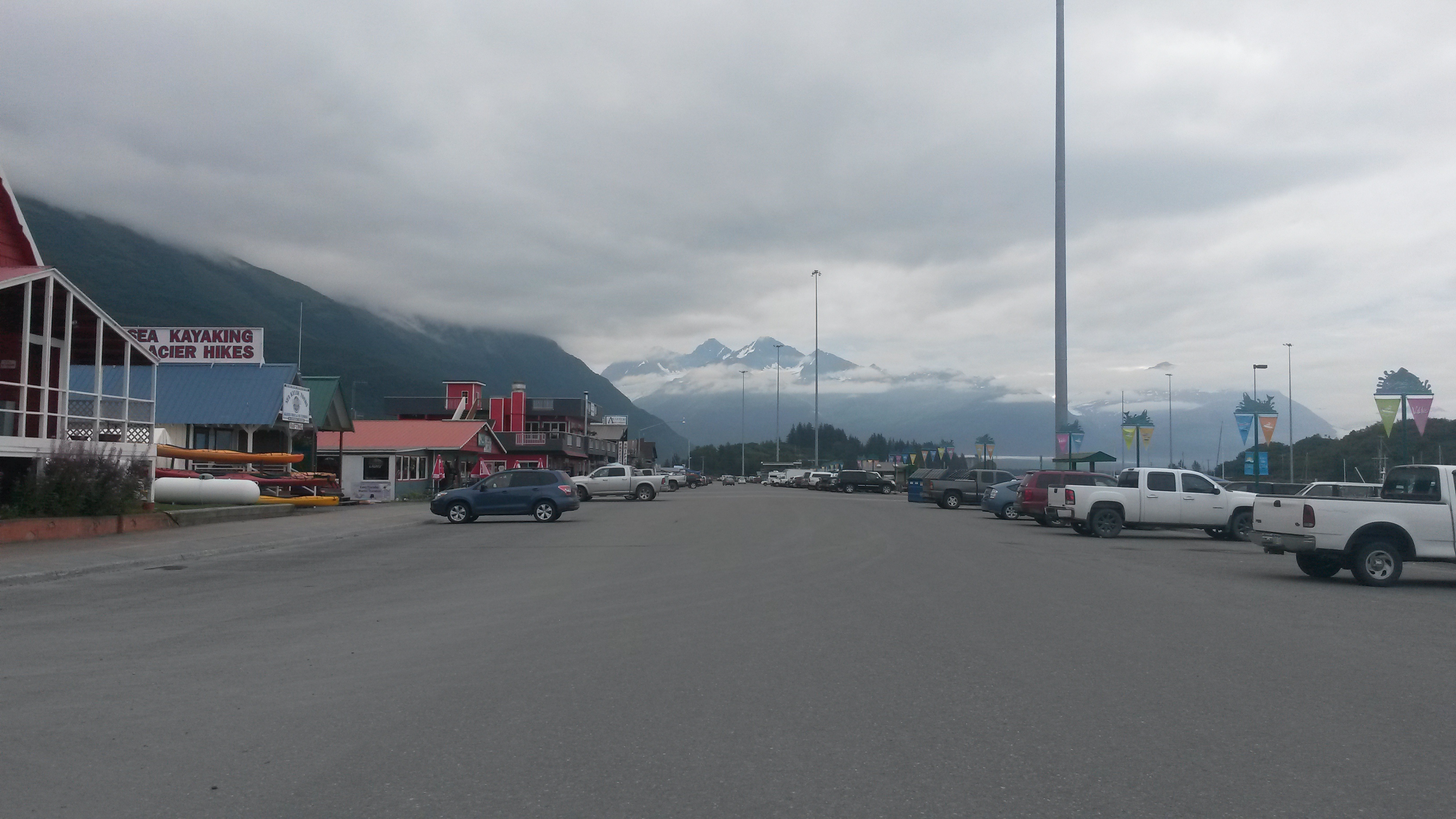
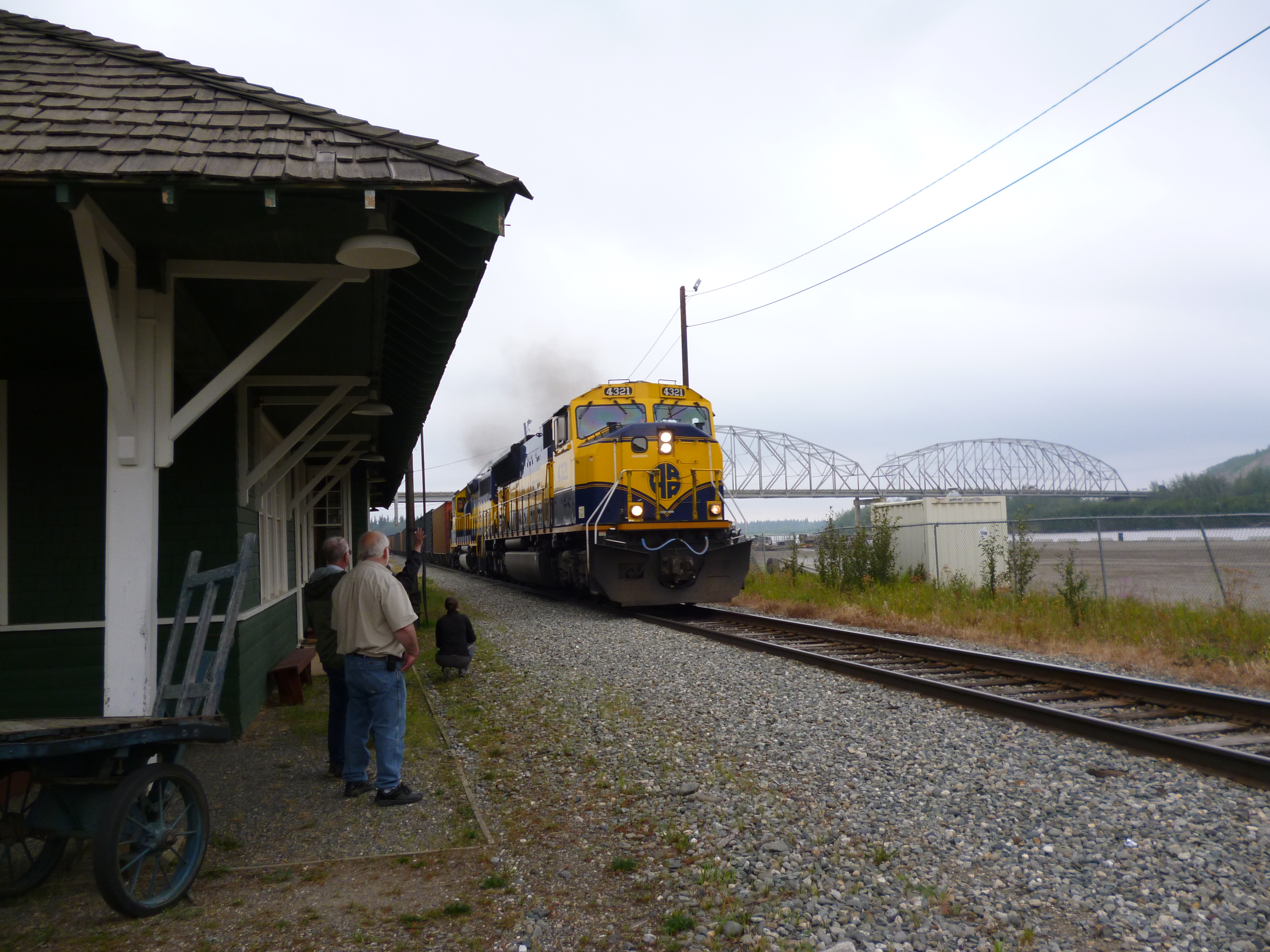
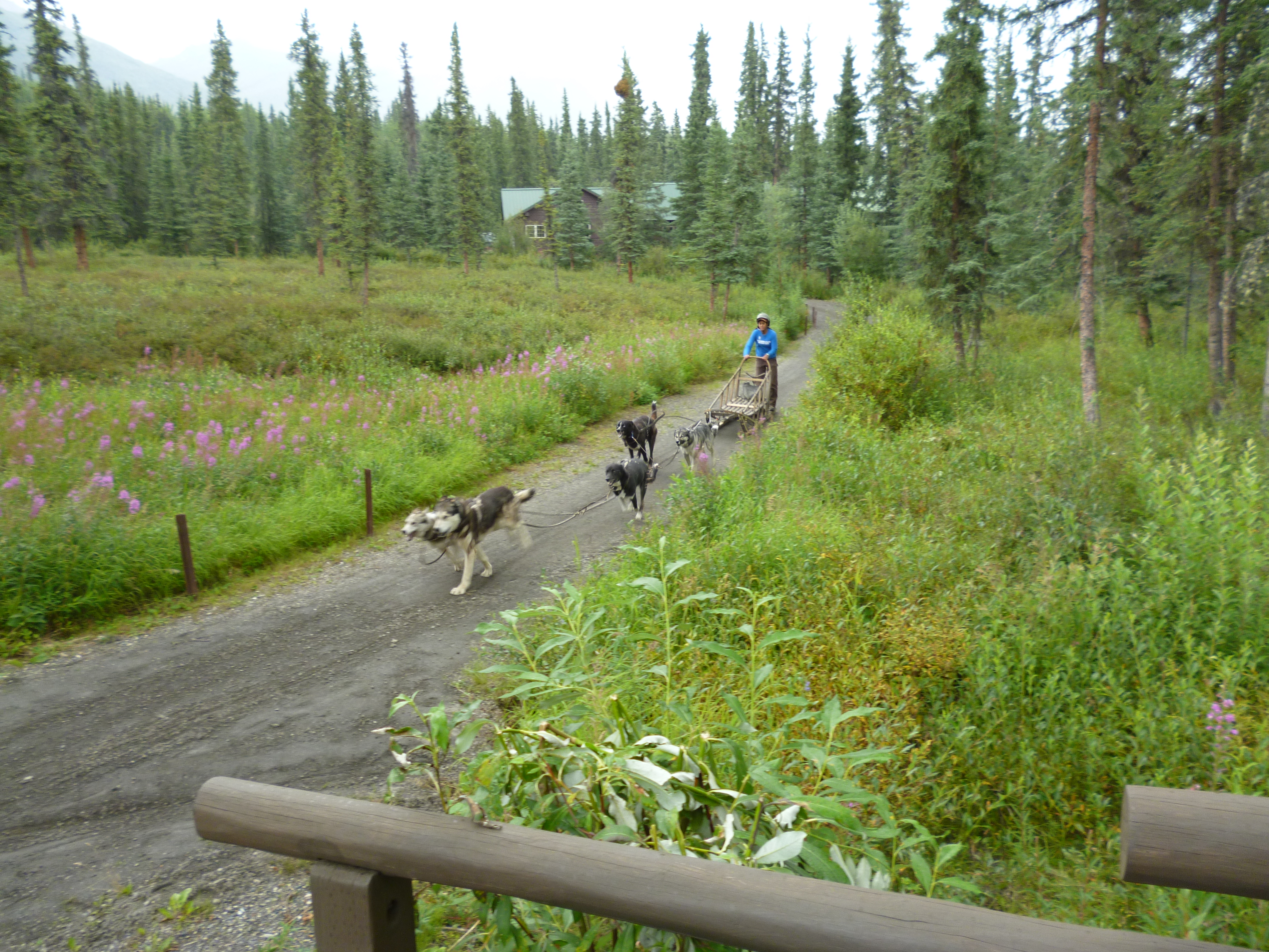
Seward was, and probably still is the main gateway to the interior of Alaska if you are traveling by ship or train. It is the sea railhead of the Alaskan Railroad. It also was the starting point of the original Iditarod, the dogsled team that carried the medicine 938 miles to Nome. A plaque next to our campsite marks the spot.

P1050451

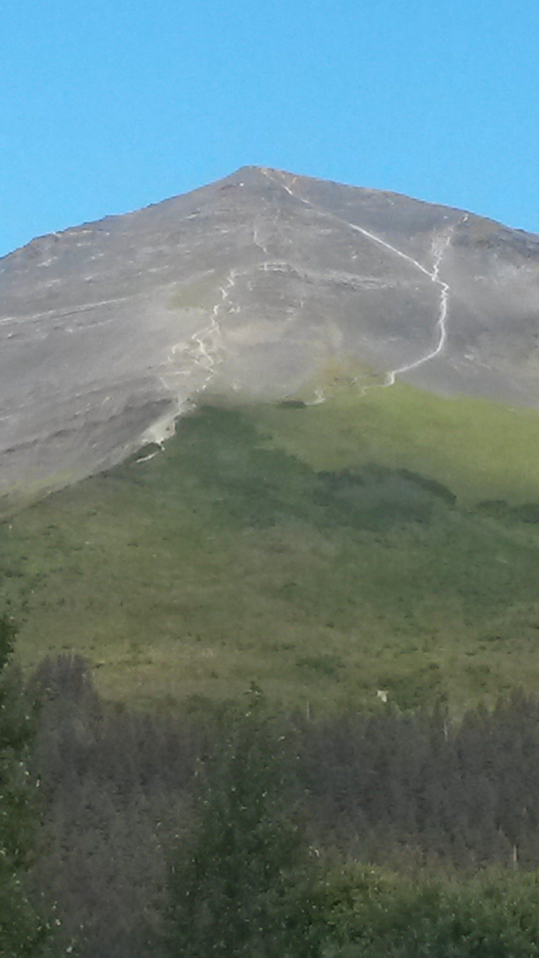
The other race that Seward is known for is the Mount Marathon race, the second oldest foot race in the US, behind the Boston Marathon. Mount Marathon is named after the mountain, Mount Marathon, and has nothing to do with a 26.2 mile race. In fact, it is only a 3 mile race, straight up to the top and down the face of Mount Marathon. As with most races it started as a bar bet for the best time between two guys who had the job of climbing the mountain daily to look for arriving ships, which has now grown to the race it is today. It’s run July 4th if there are any takers out there – medics provided.

20150806_092323

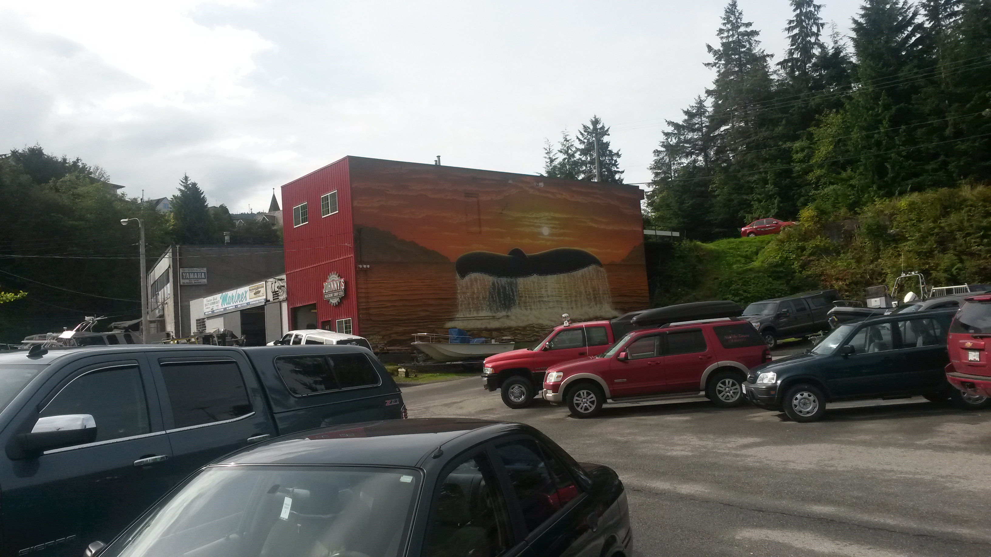
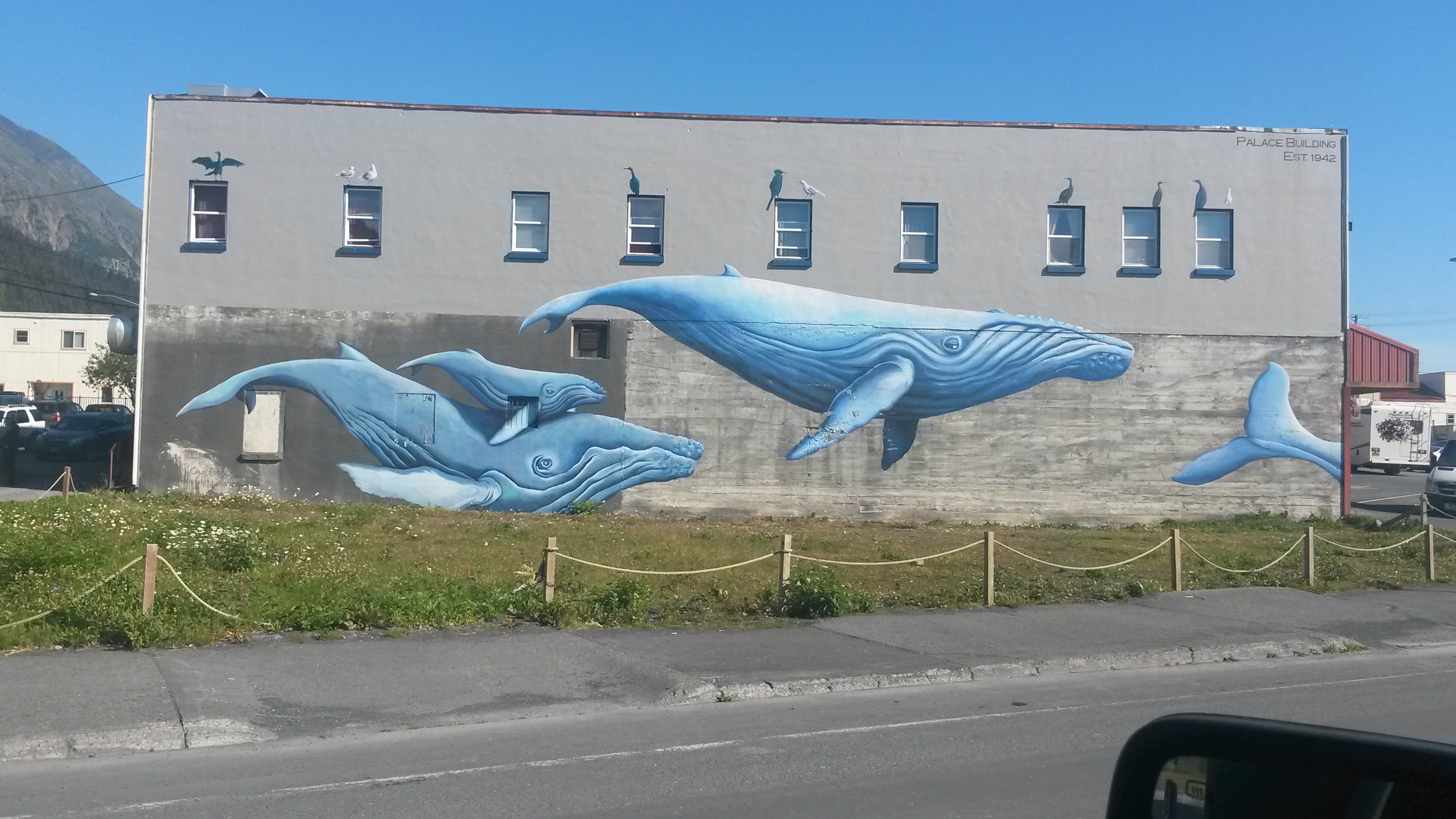
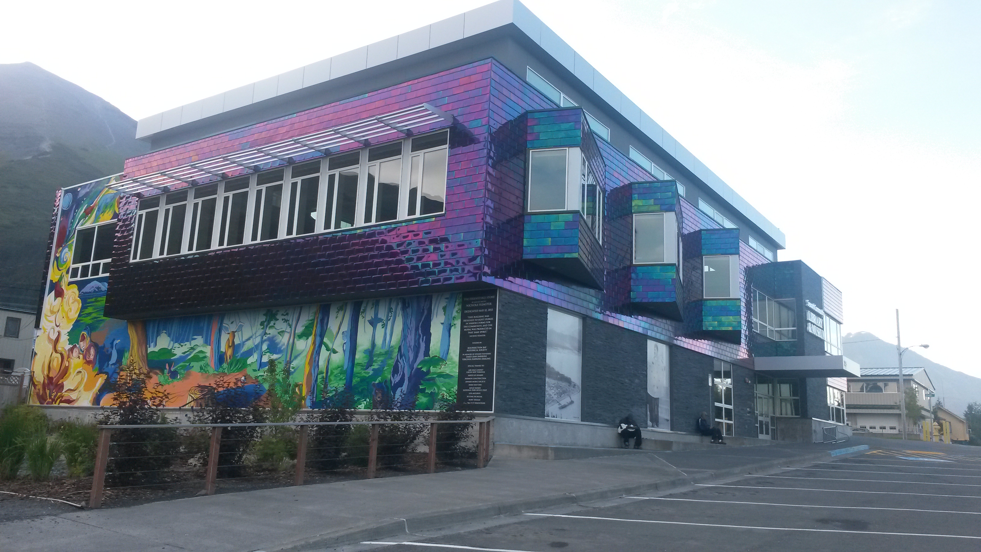
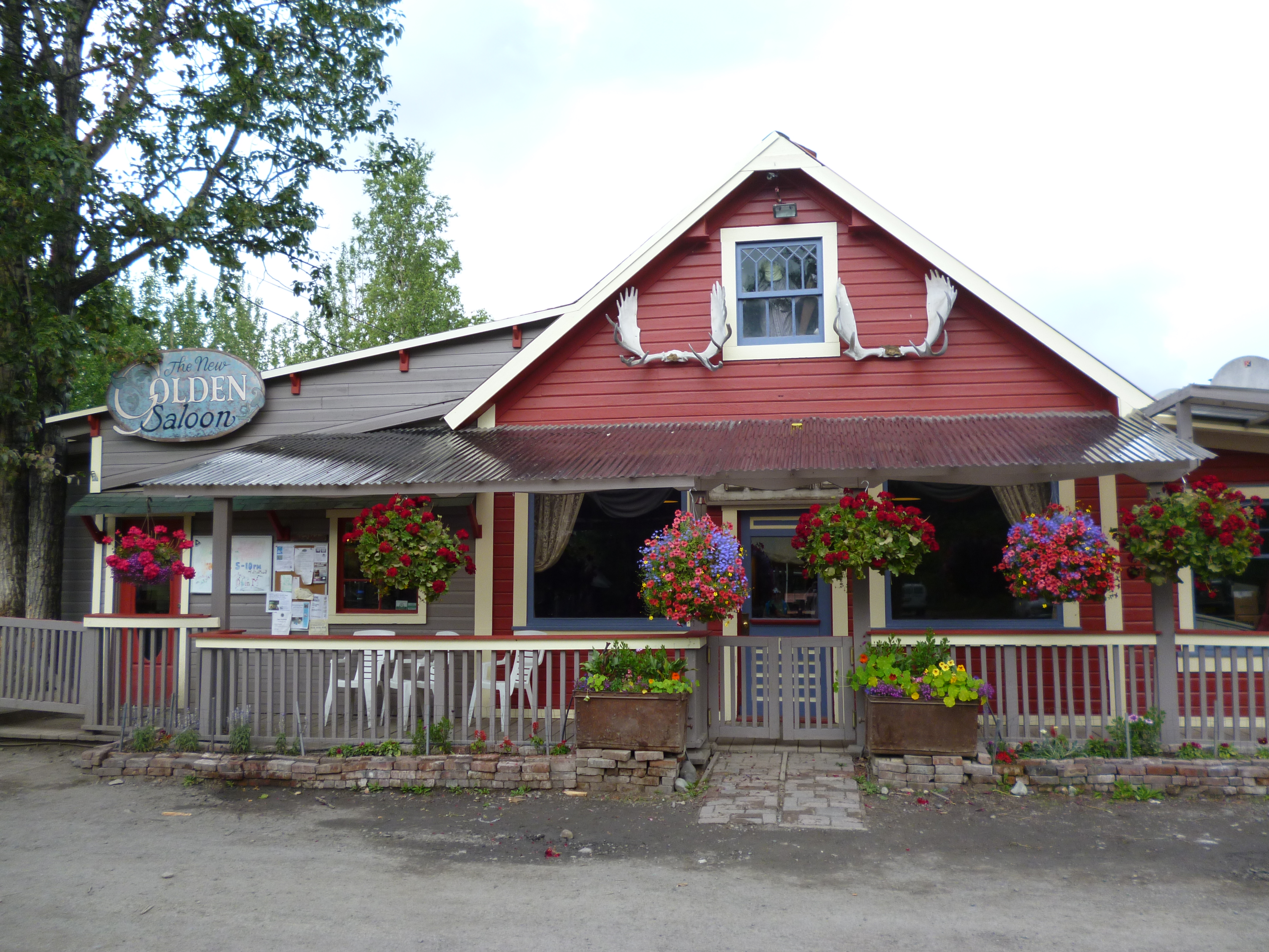
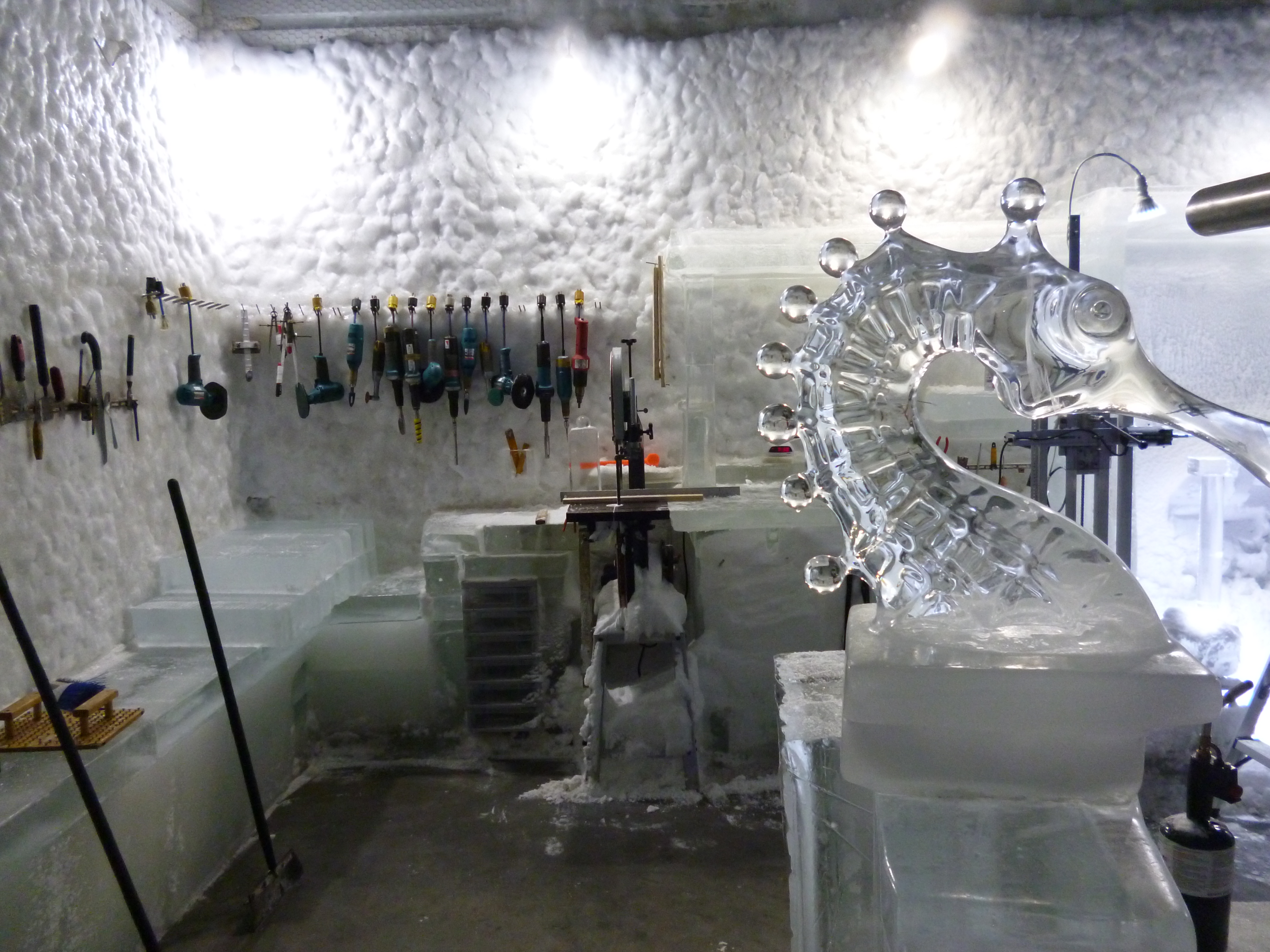
Seward is also considered the mural capital of Alaska, where colorful murals are on several of the downtown buildings.

20150806_103935

20150804_211037

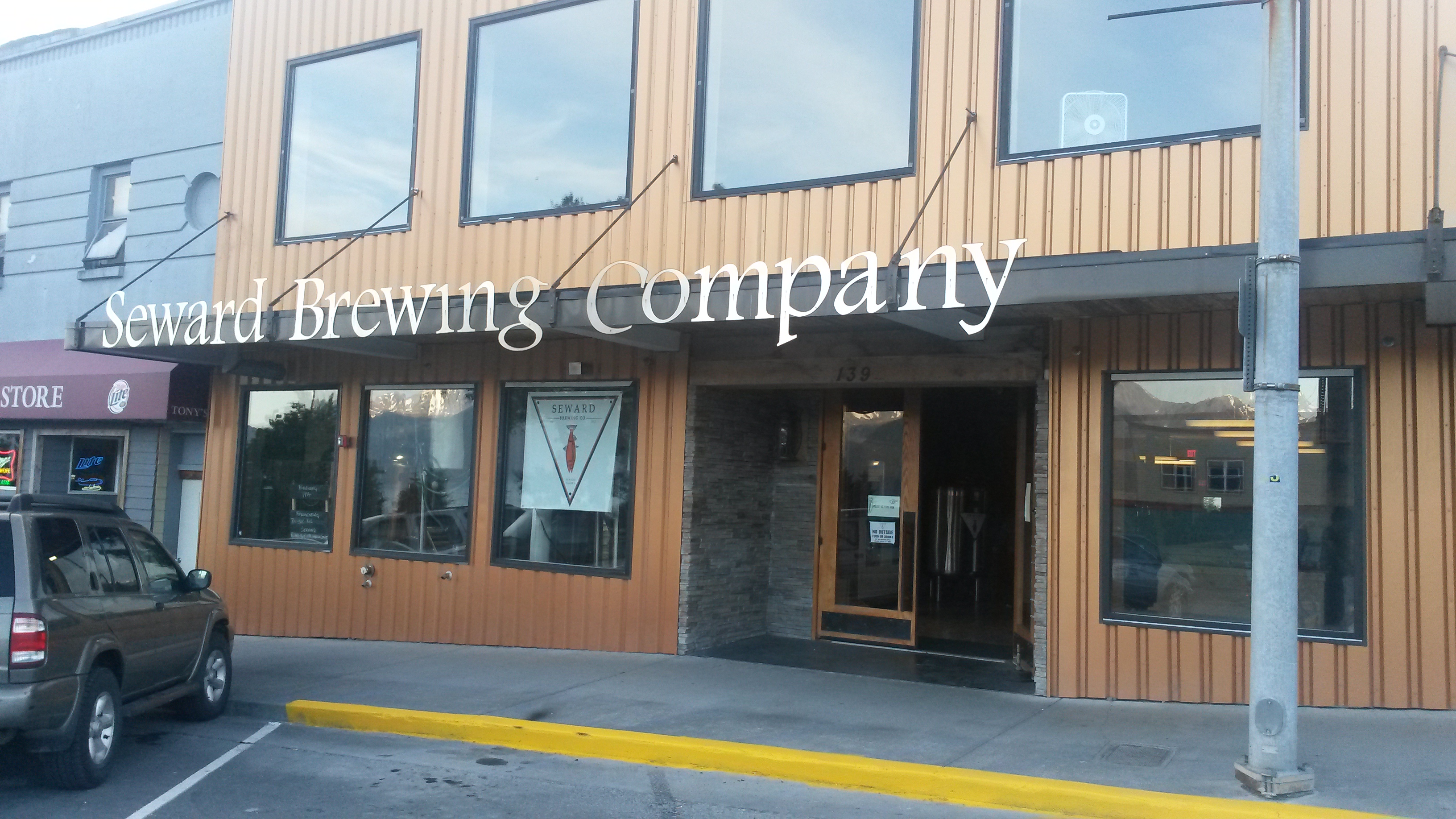
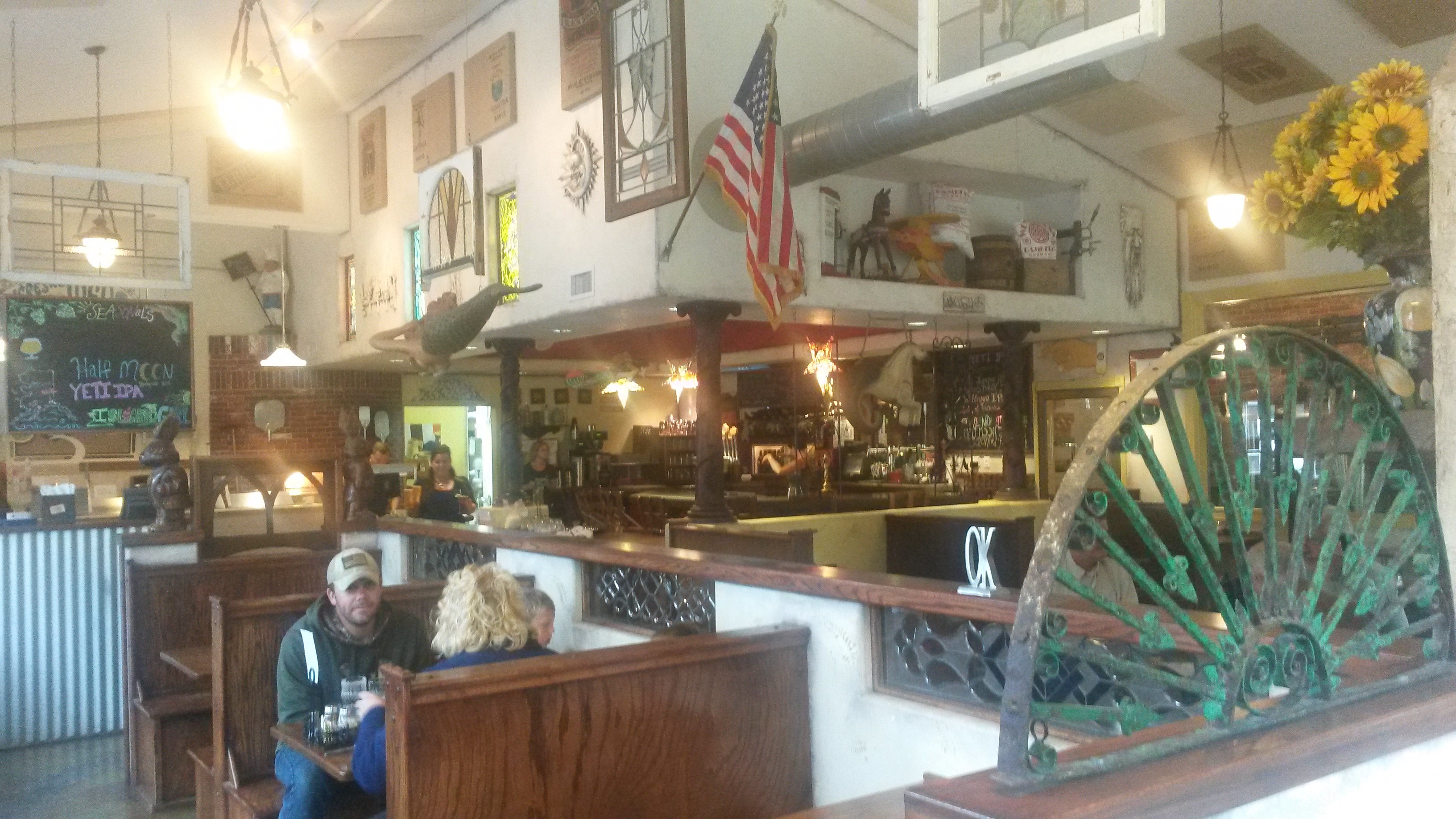
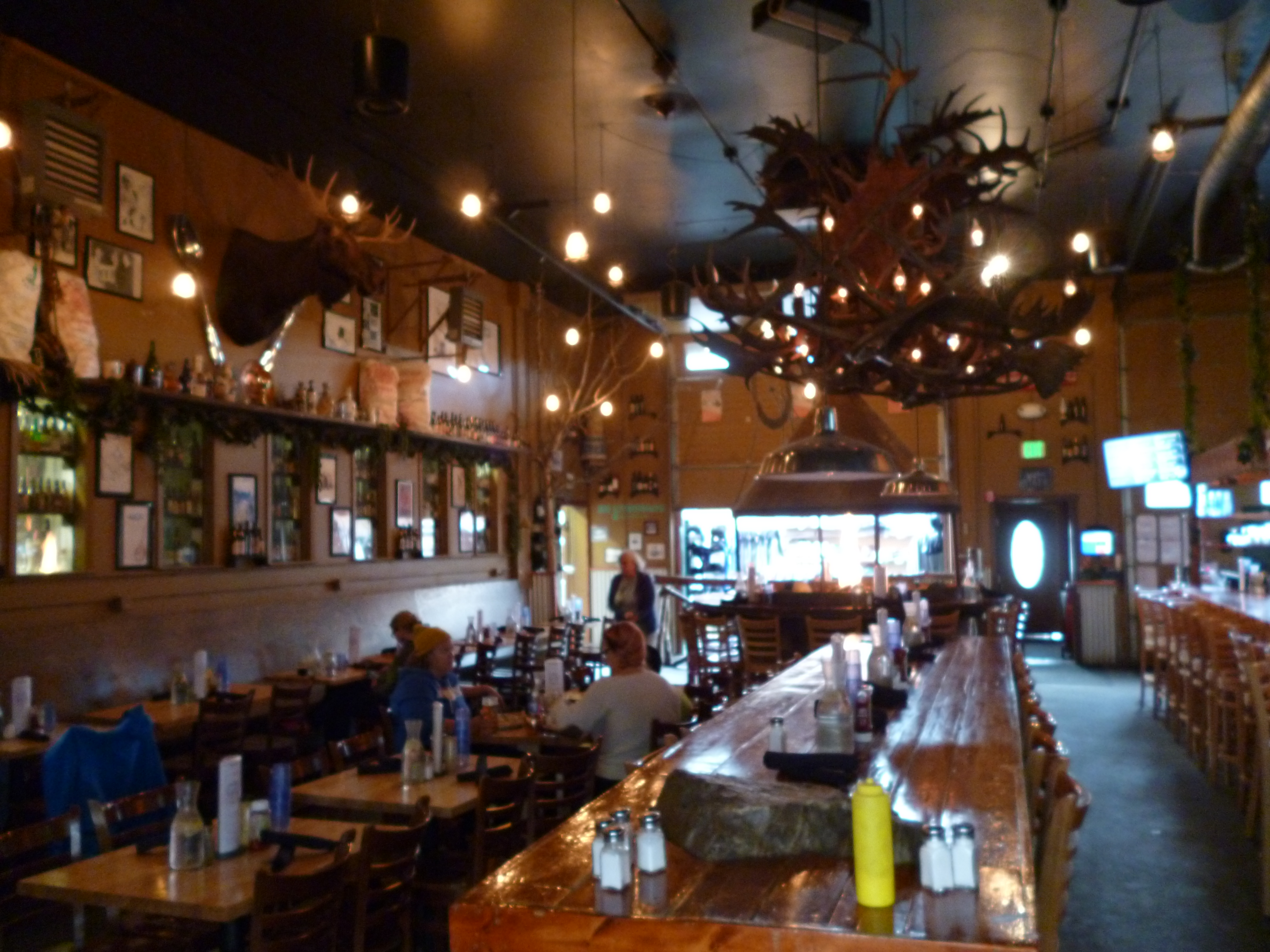
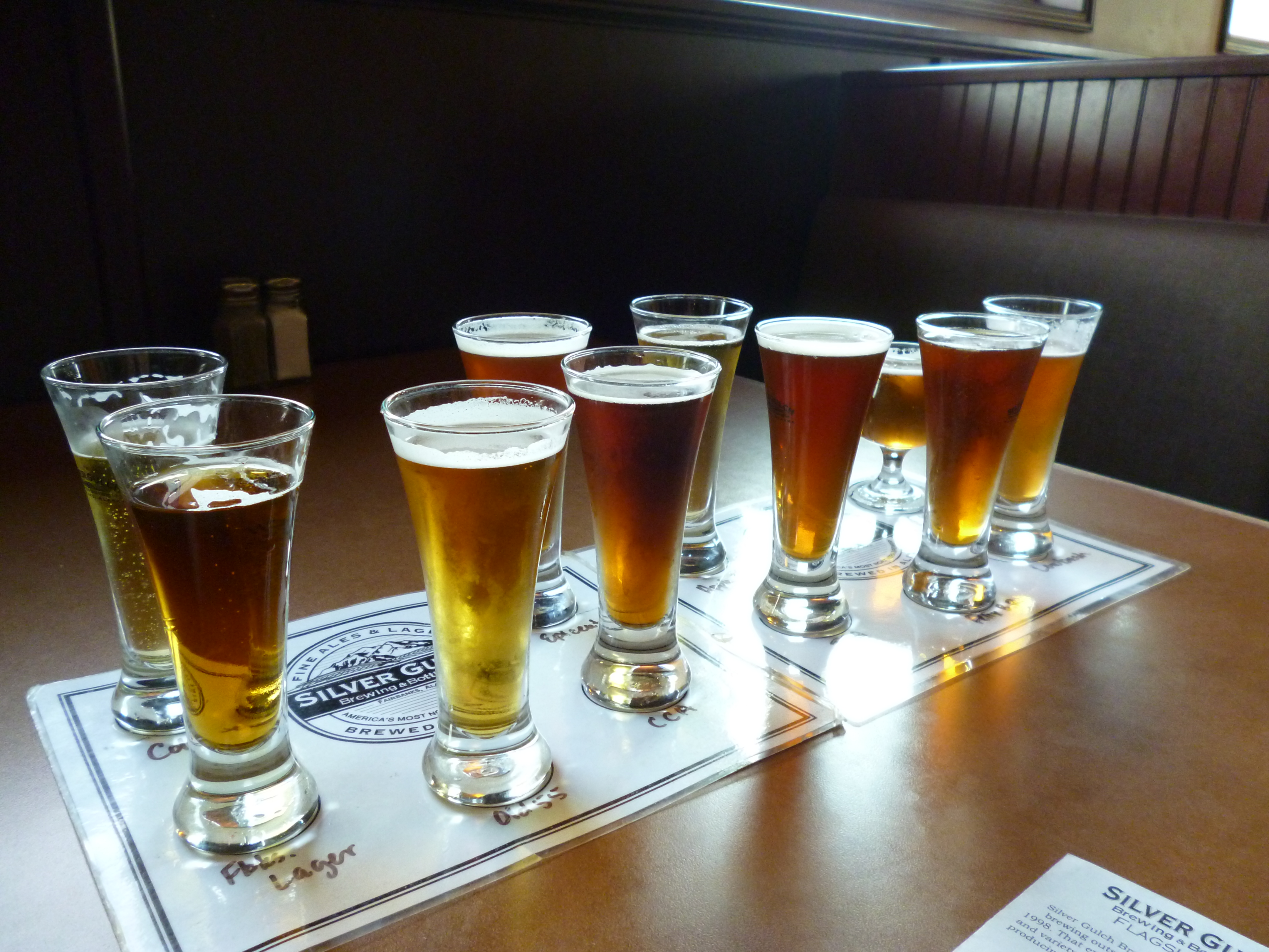
They also have the Seward Brewery Company, which we had to try. They had some very good beers, but they unfortunately don’t distribute outside of Seward. The menu there has some really interesting options, but we only tried their lamb fries; shredded lamb over fries with gravy and cheese curds. Eating healthy.

20150804_210544

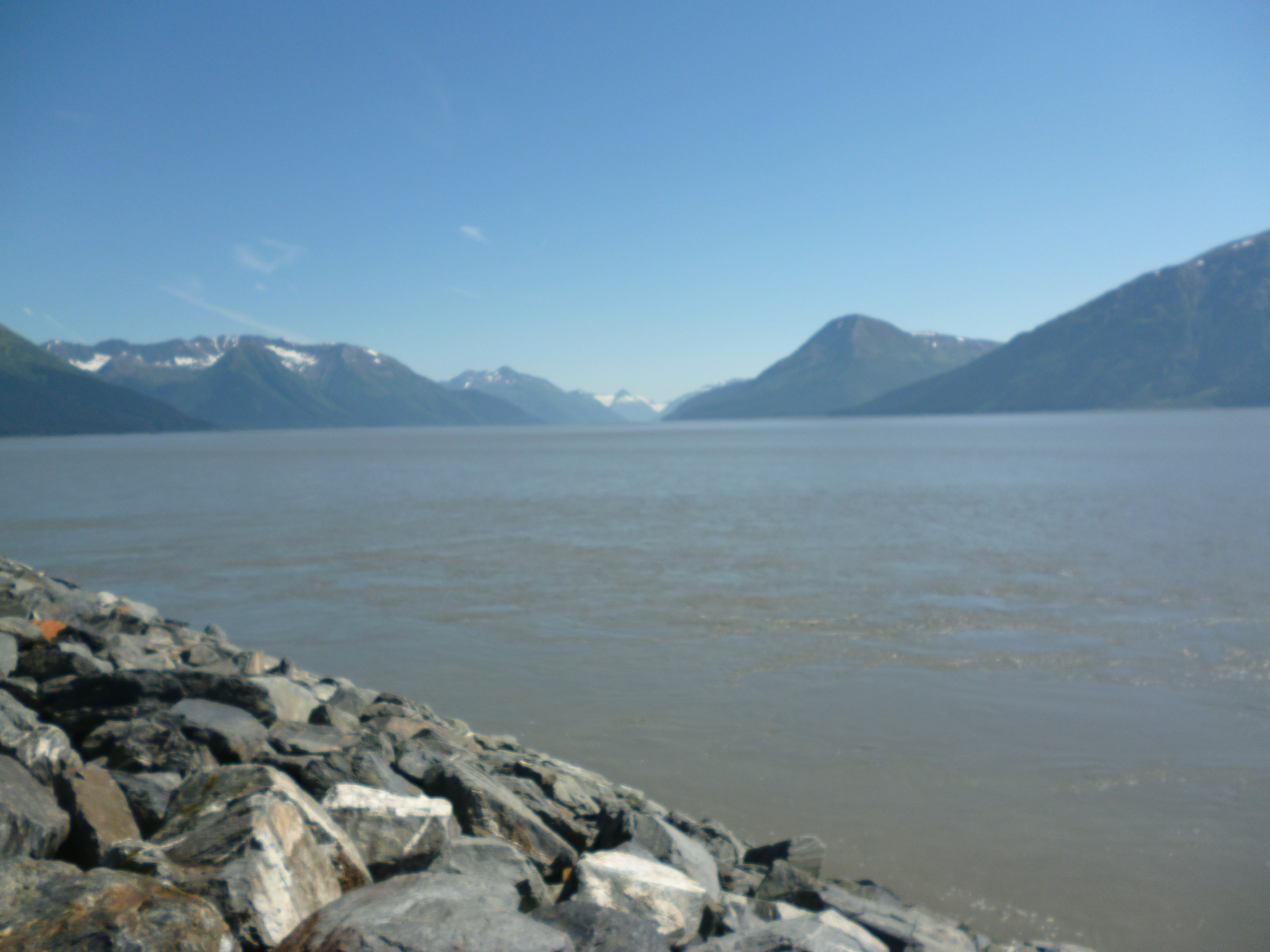
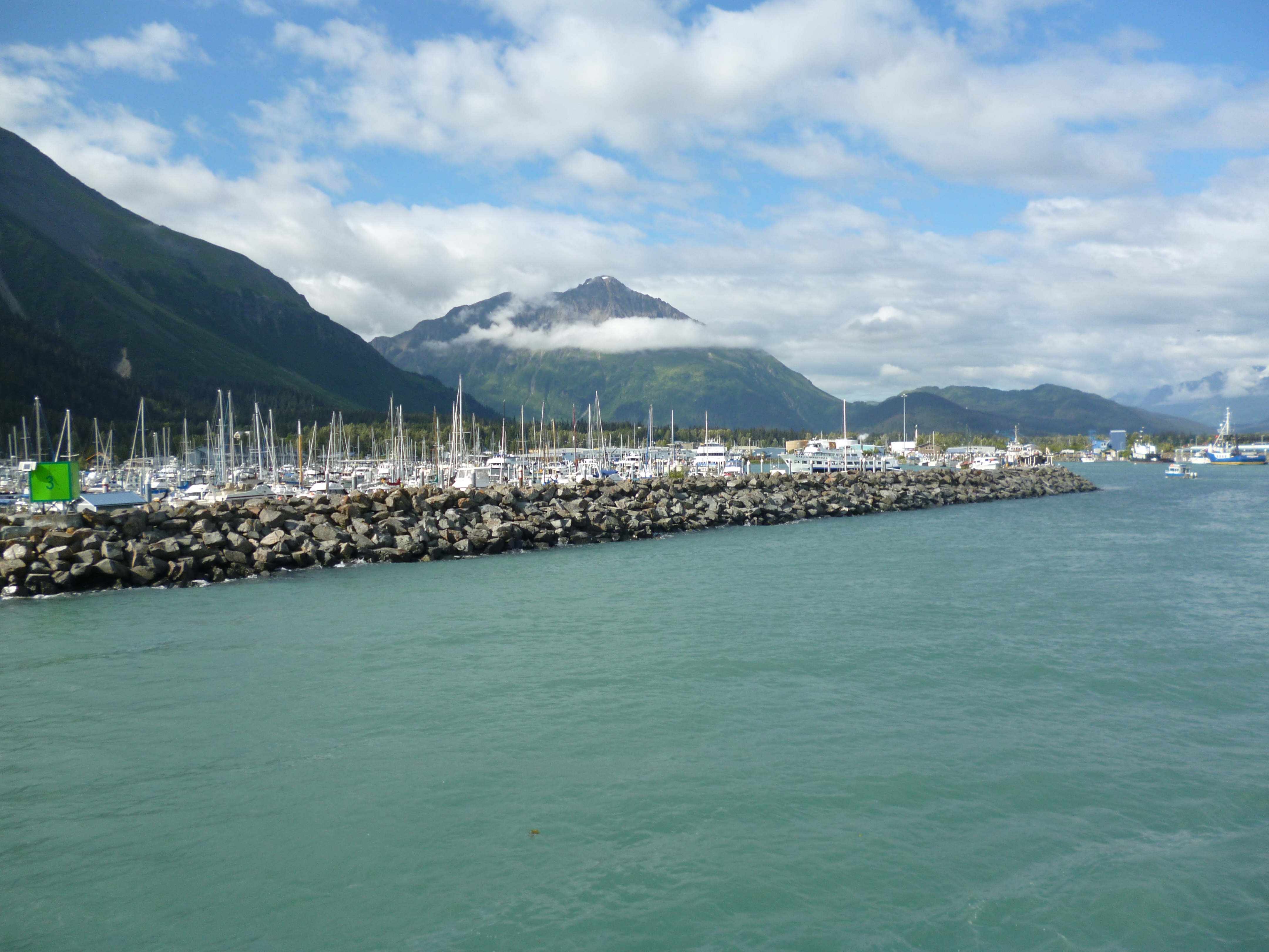
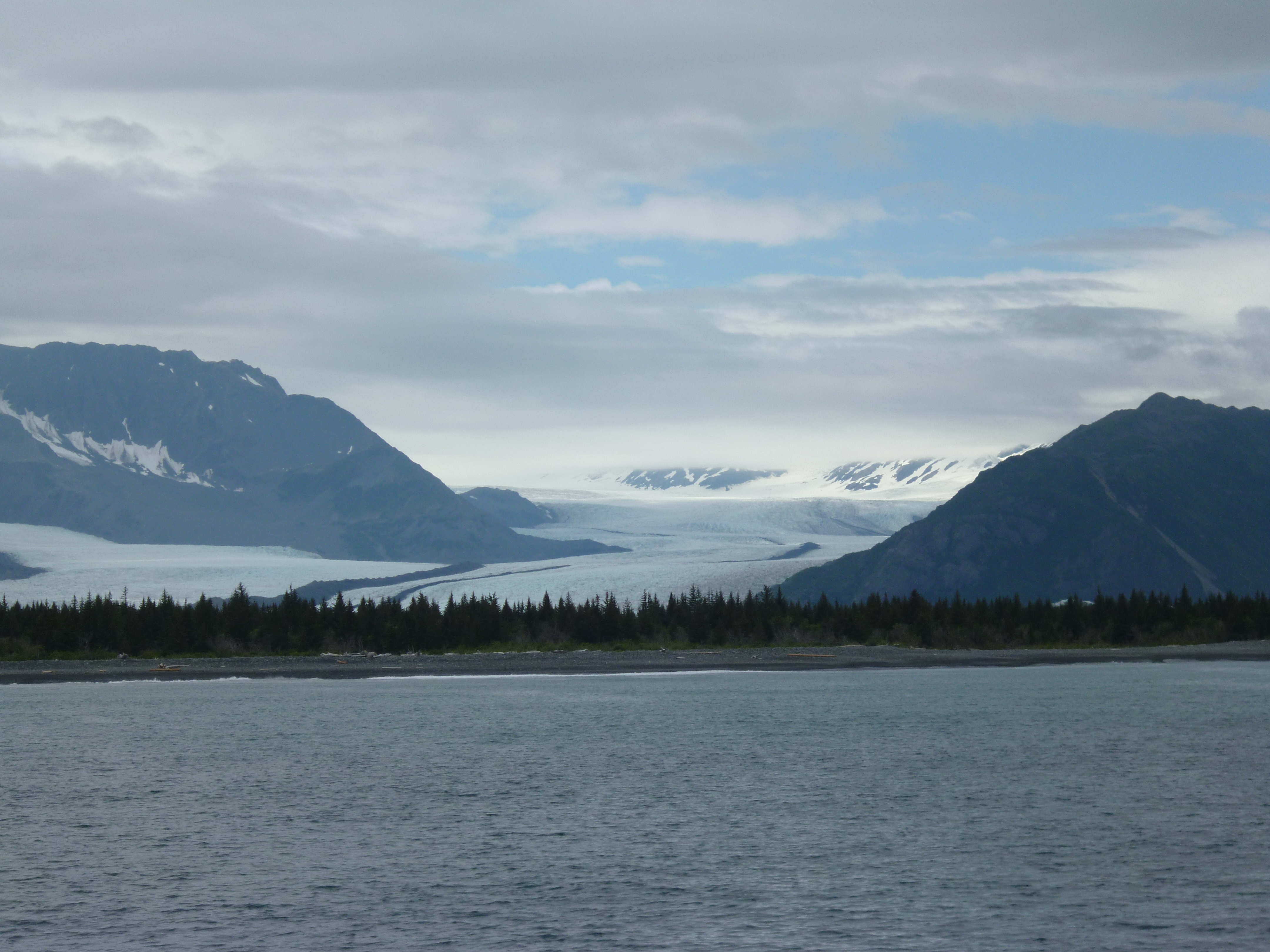
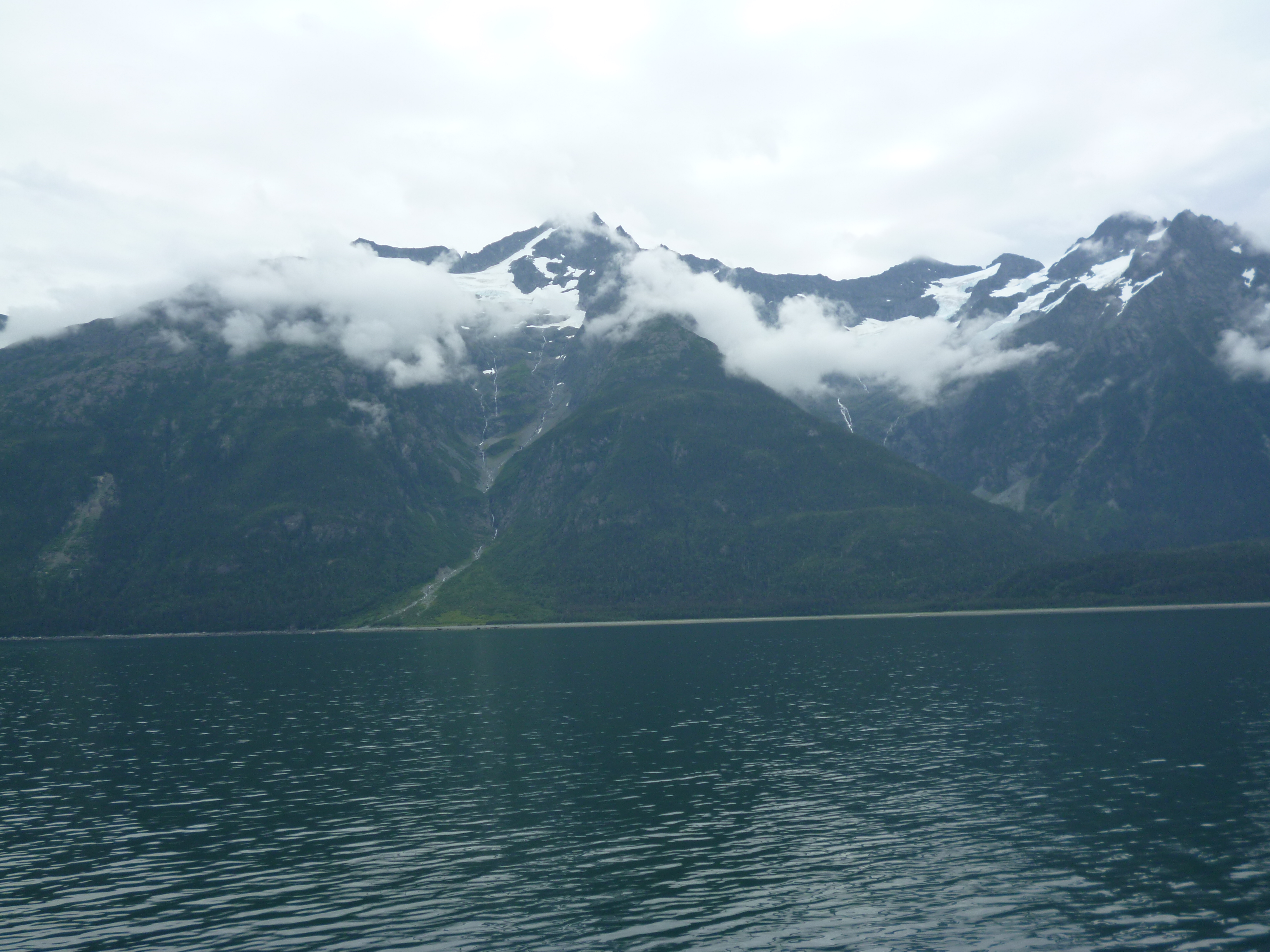
We booked a six-hour ship tour of the Kenai Fjords National Park that leaves from Seward and travels west to the park’s glacial fjords out of Seward’s little harbor.

P1050548

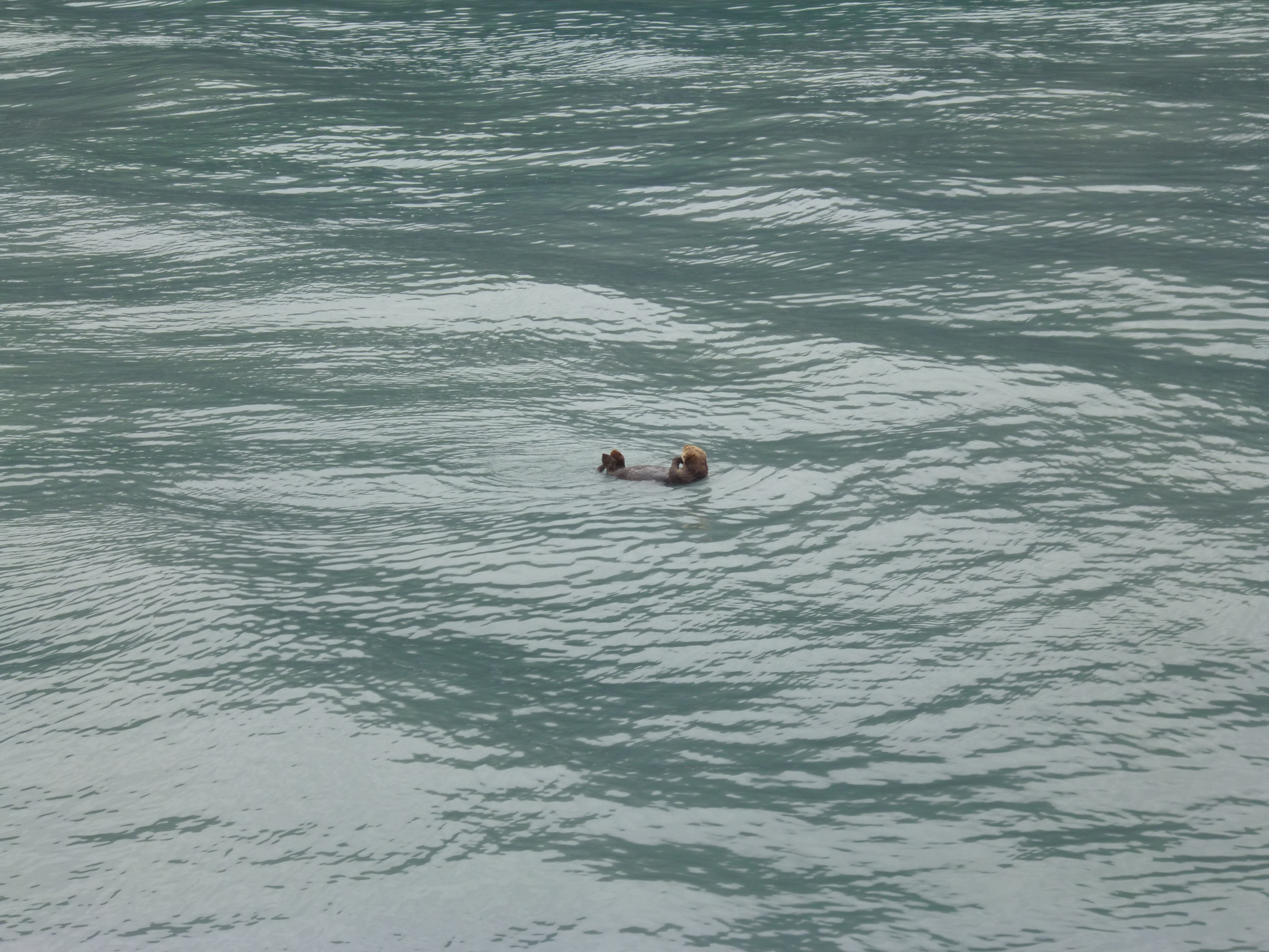
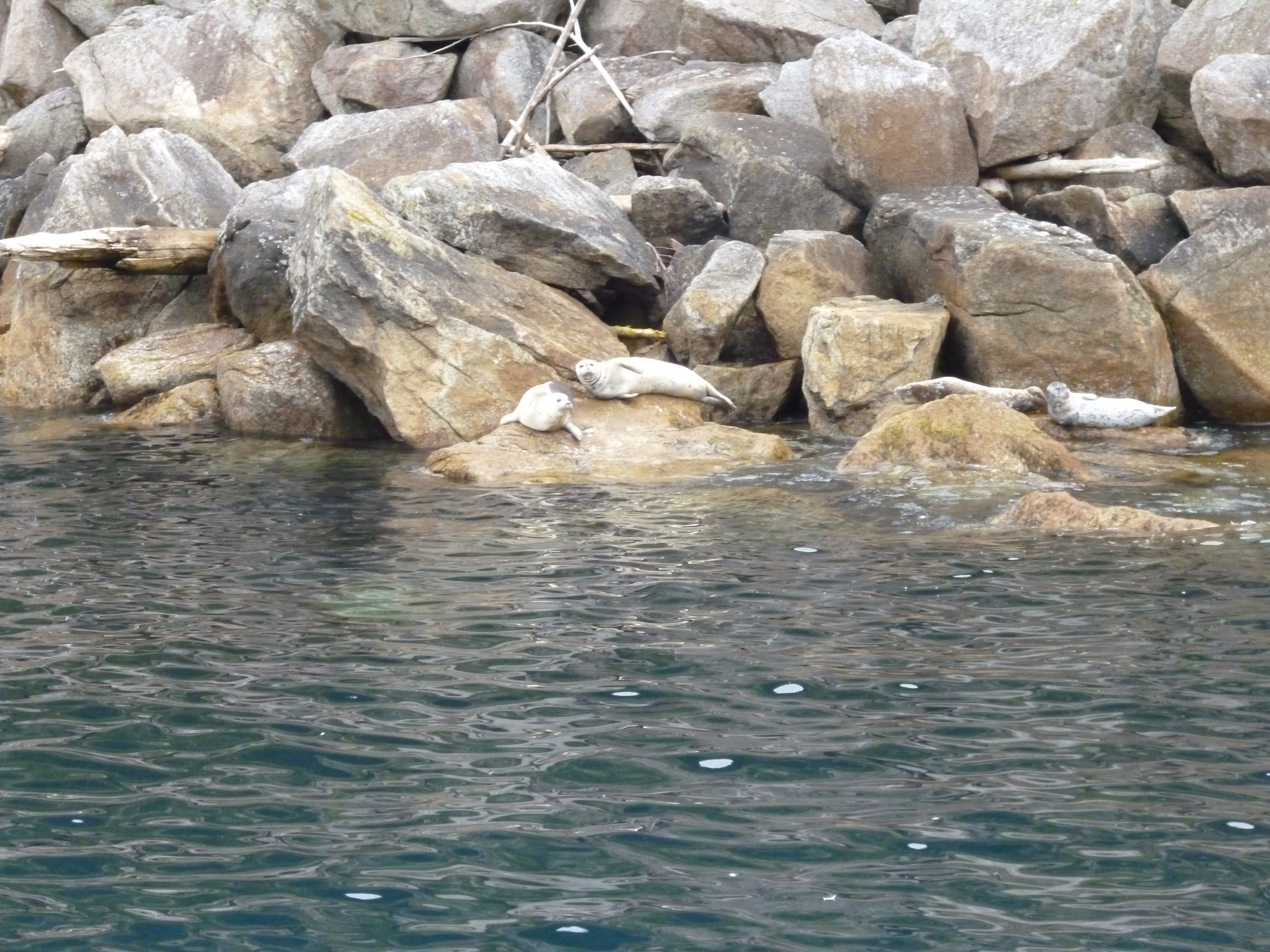
We saw otters (floating below), Orcas, harbor seals, humpback whales and a lot of birds during the tour. One of the big male Orcas flew out of the water and executed a spectacular Fosbury flop type breech, but I was so in awe I forgot I had a camera in my hands. I’m not sure how those photographers get those amazing shots.

P1050470

P1050525

20150805_122540

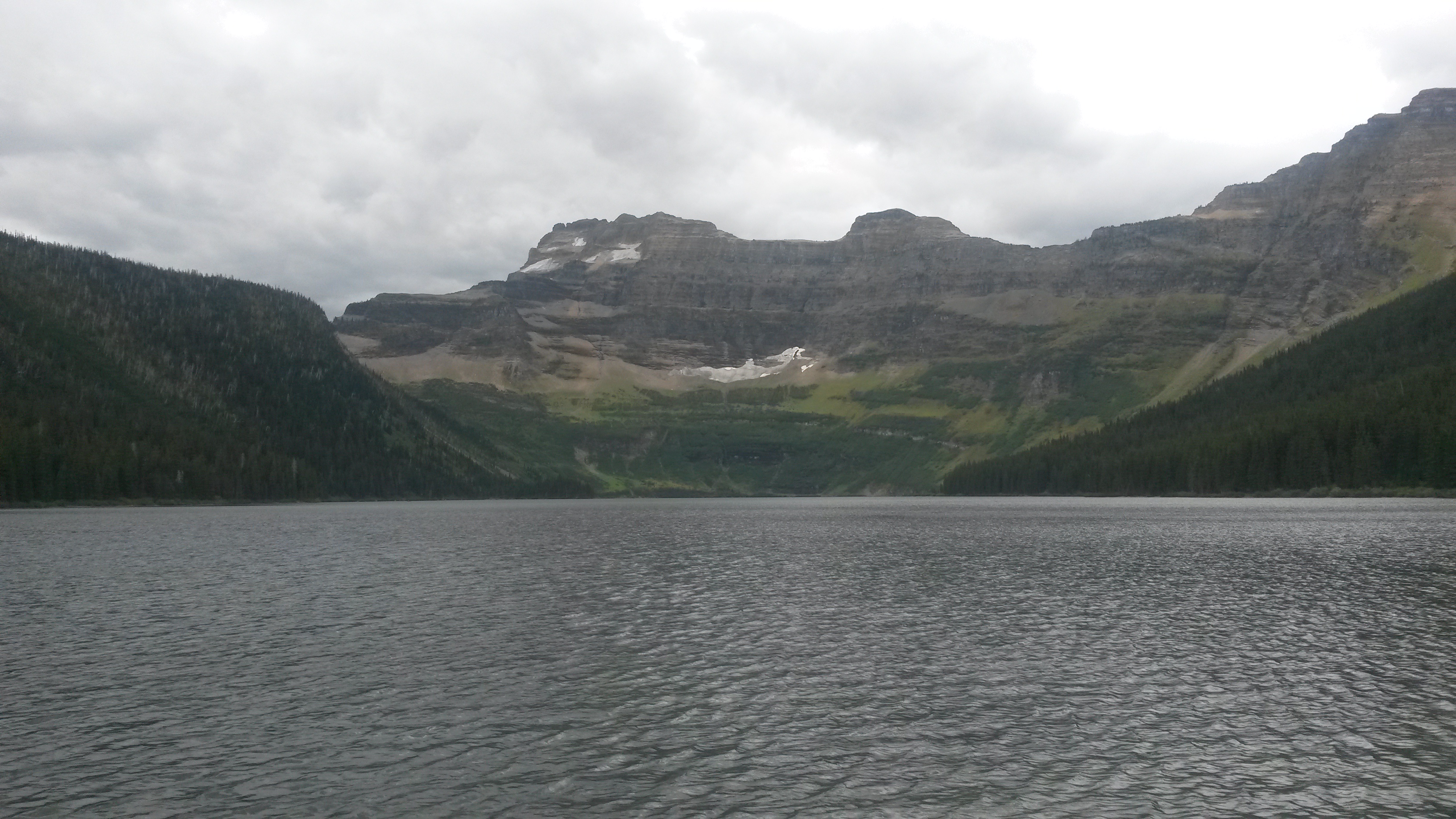
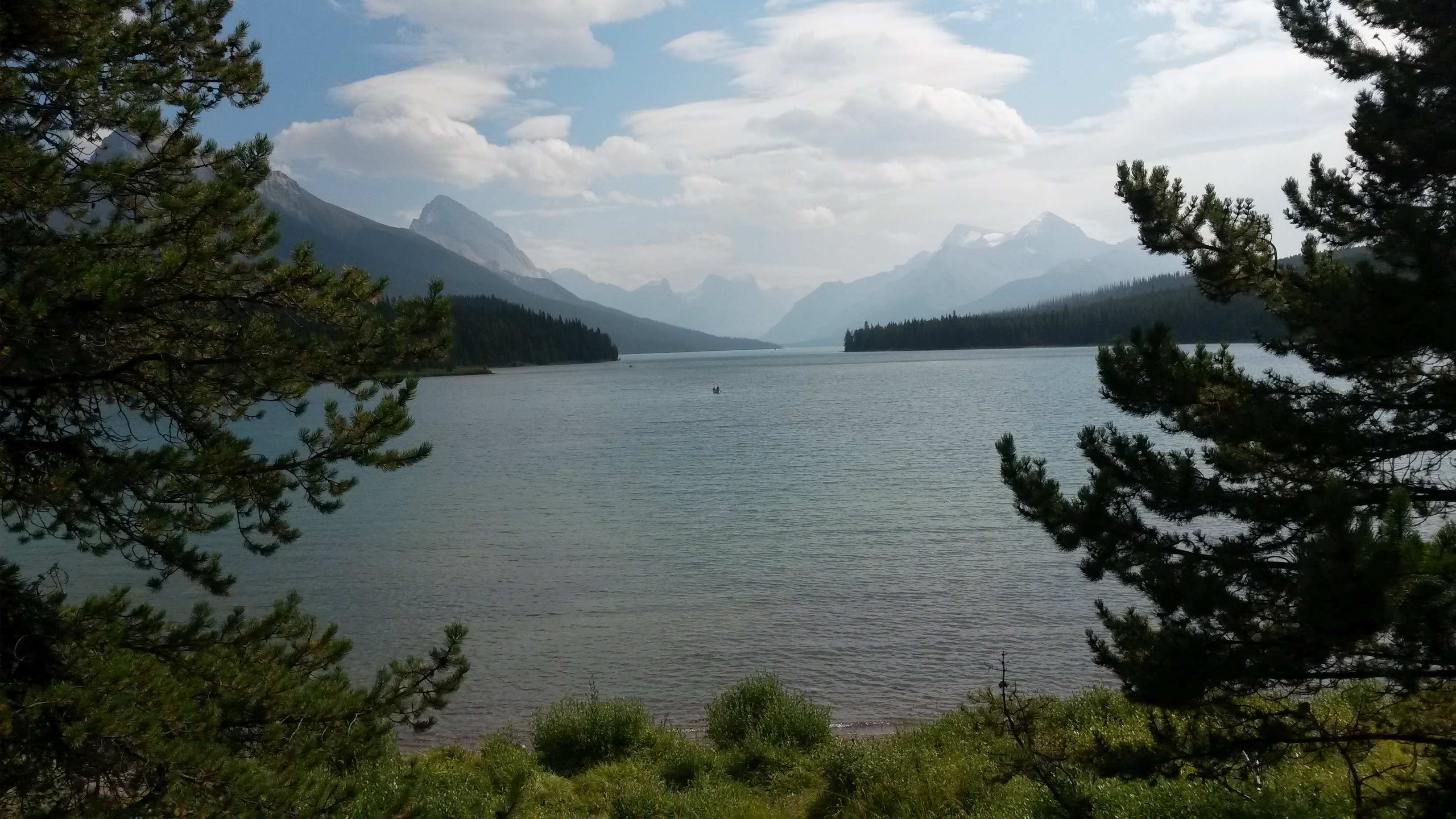
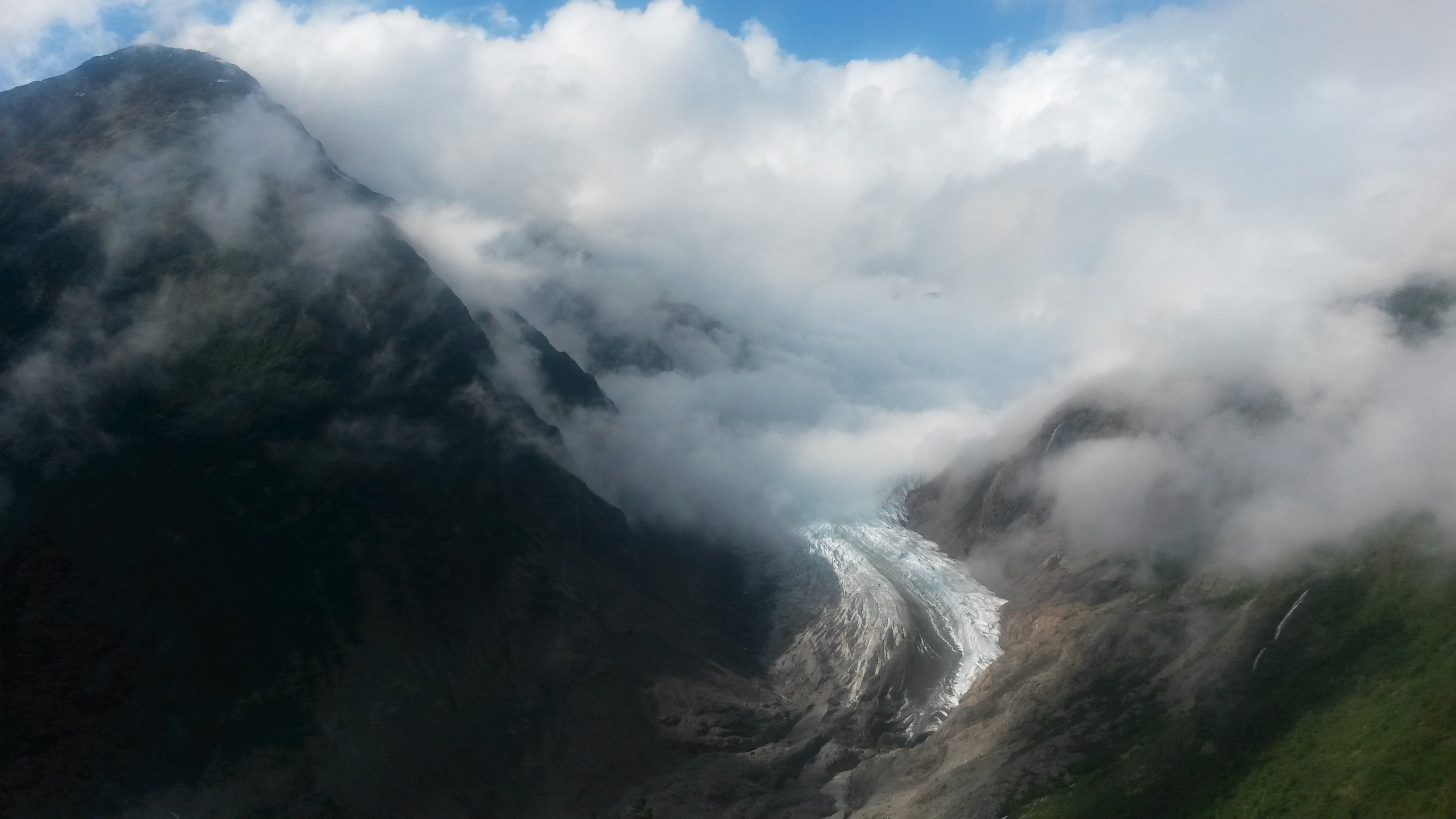
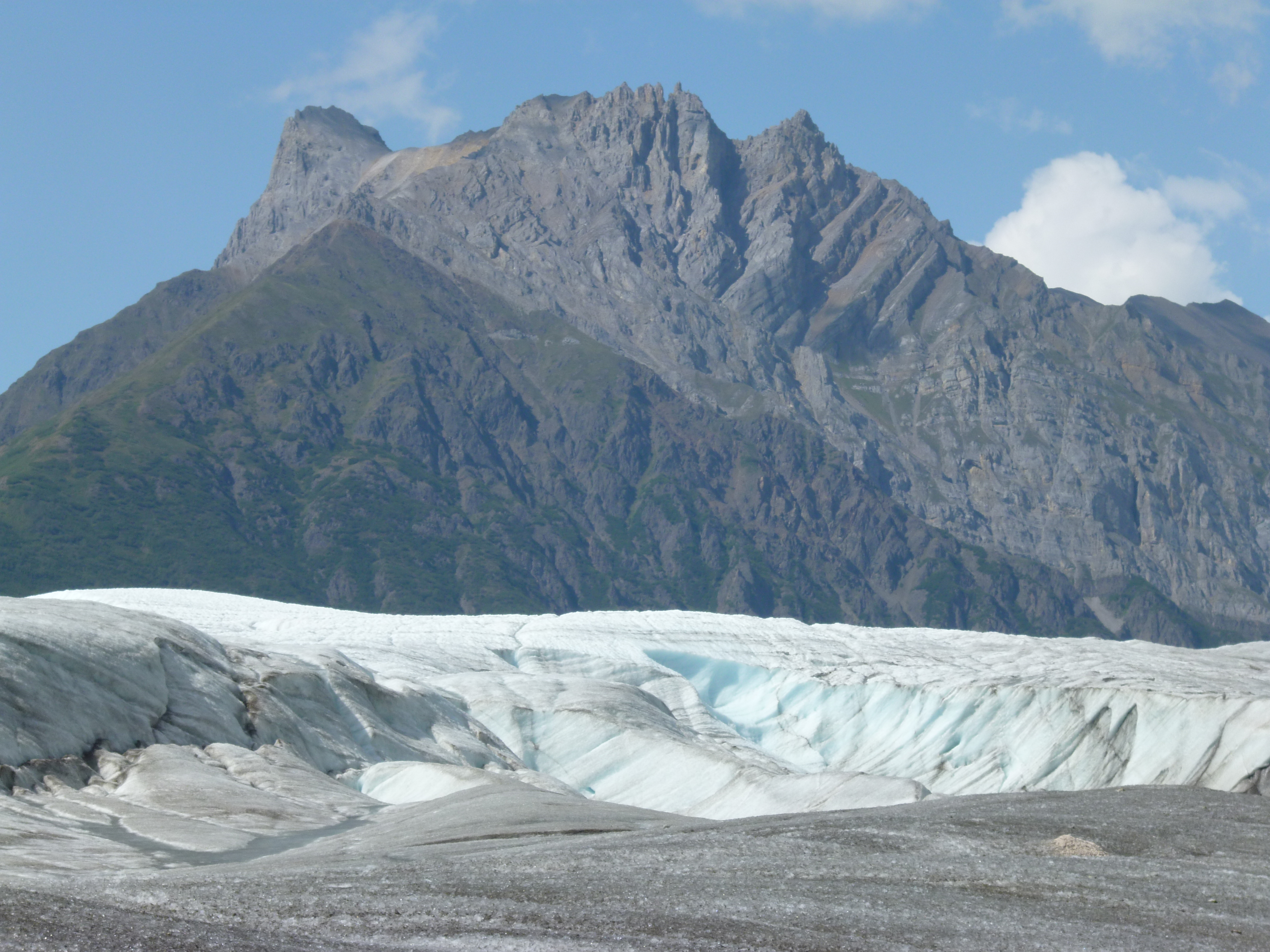
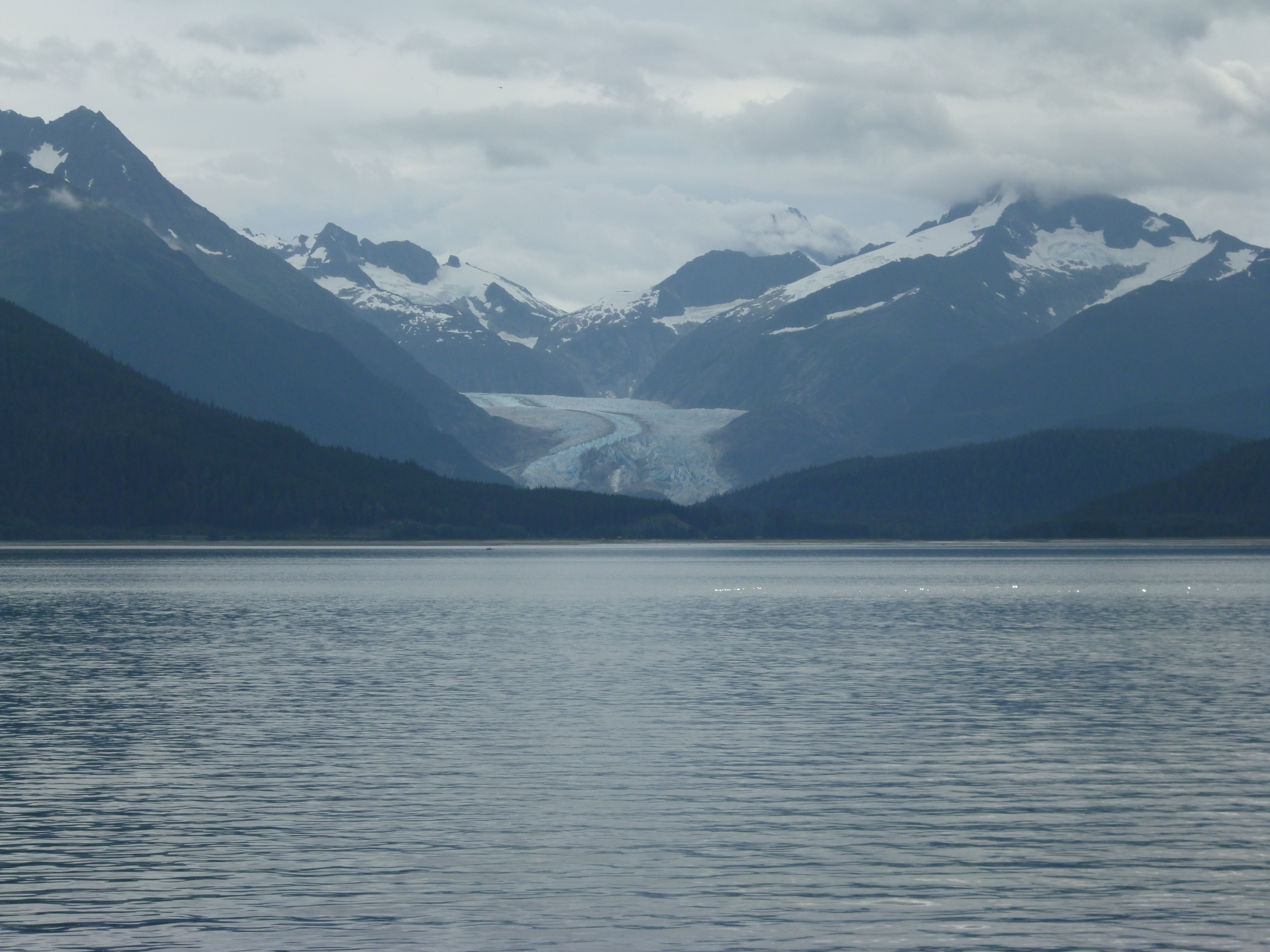
We also saw the huge Aialik and Bear Glaciers that extend down to the sea from the Harding Ice Field. The ice field that covers the top of the mountain range in the NP is 700 square miles in area. Many glaciers radiate out and down through the mountains to the sea from this field.

P1050499

P1050541

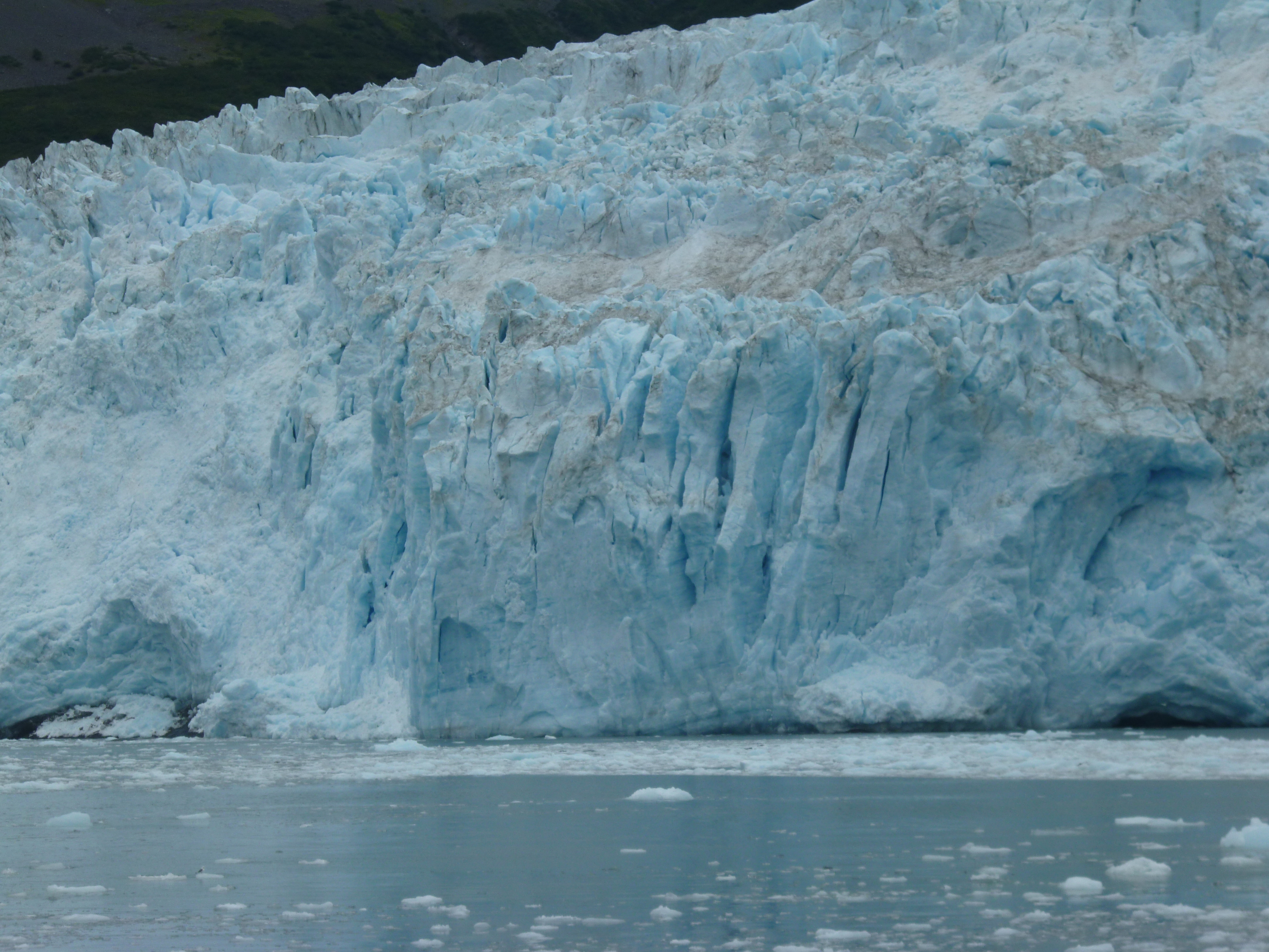
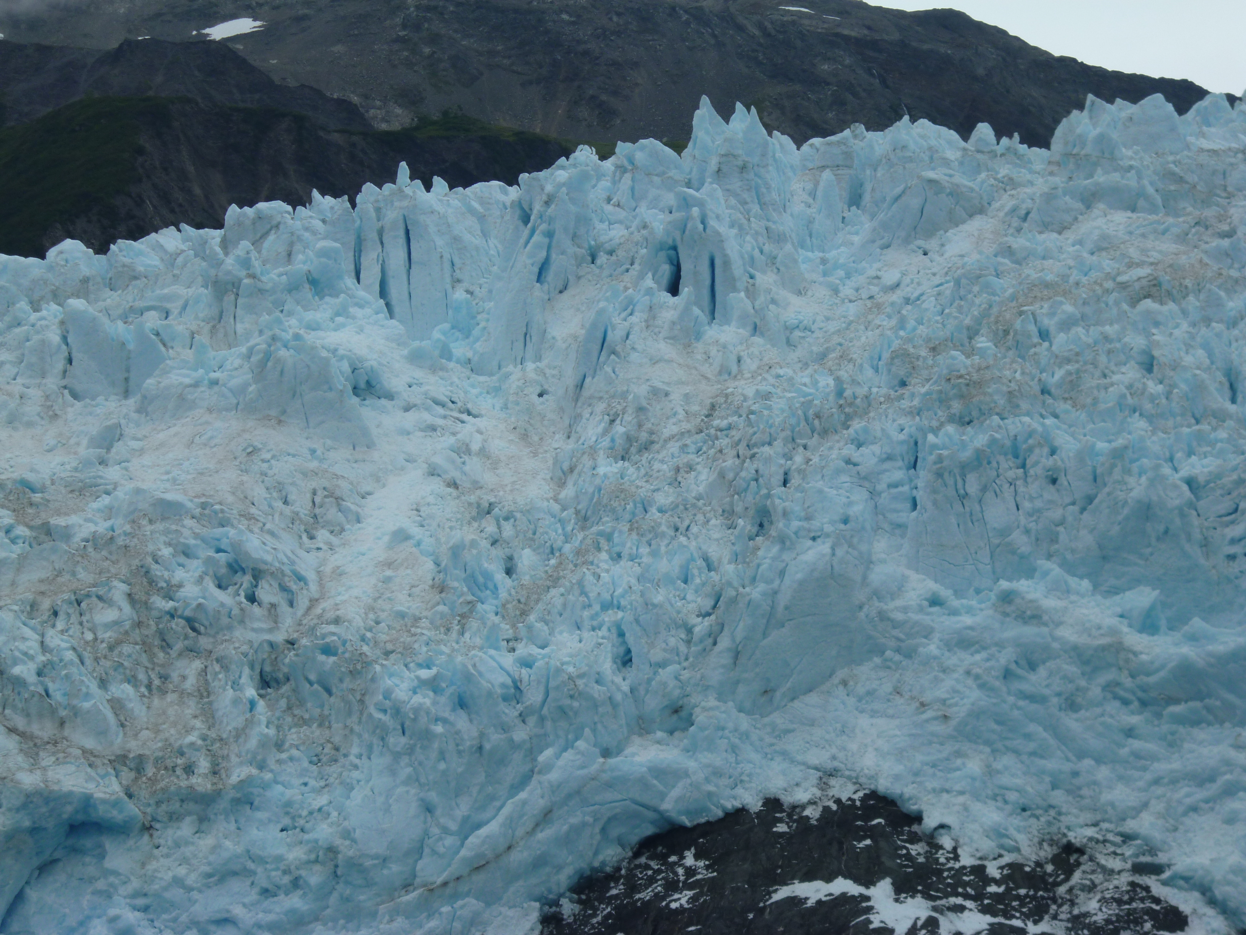
The tour gets pretty close to the relatively fast moving Aialik Glacier, with its 400 foot wall of ice that calves off very frequently. We sat there for about 30 minutes and you could hear the ice frequently popping as chunks of the face fell into the water. The glacier moves nearly 4 feet a day, while another glacier we visited moved 8 feet a month. The Root Glacier we walked on was pretty stationary with relatively smooth ice compared to this glacier. This glacier was so jagged, with huge canvases, that I doubt you could even traverse the top.

P1050511

P1050512

The water around the ship was pretty dense with glacial ice. It was open water and then solid ice. It’s easy to see how ships quickly get stuck in icy waters.

P1050522

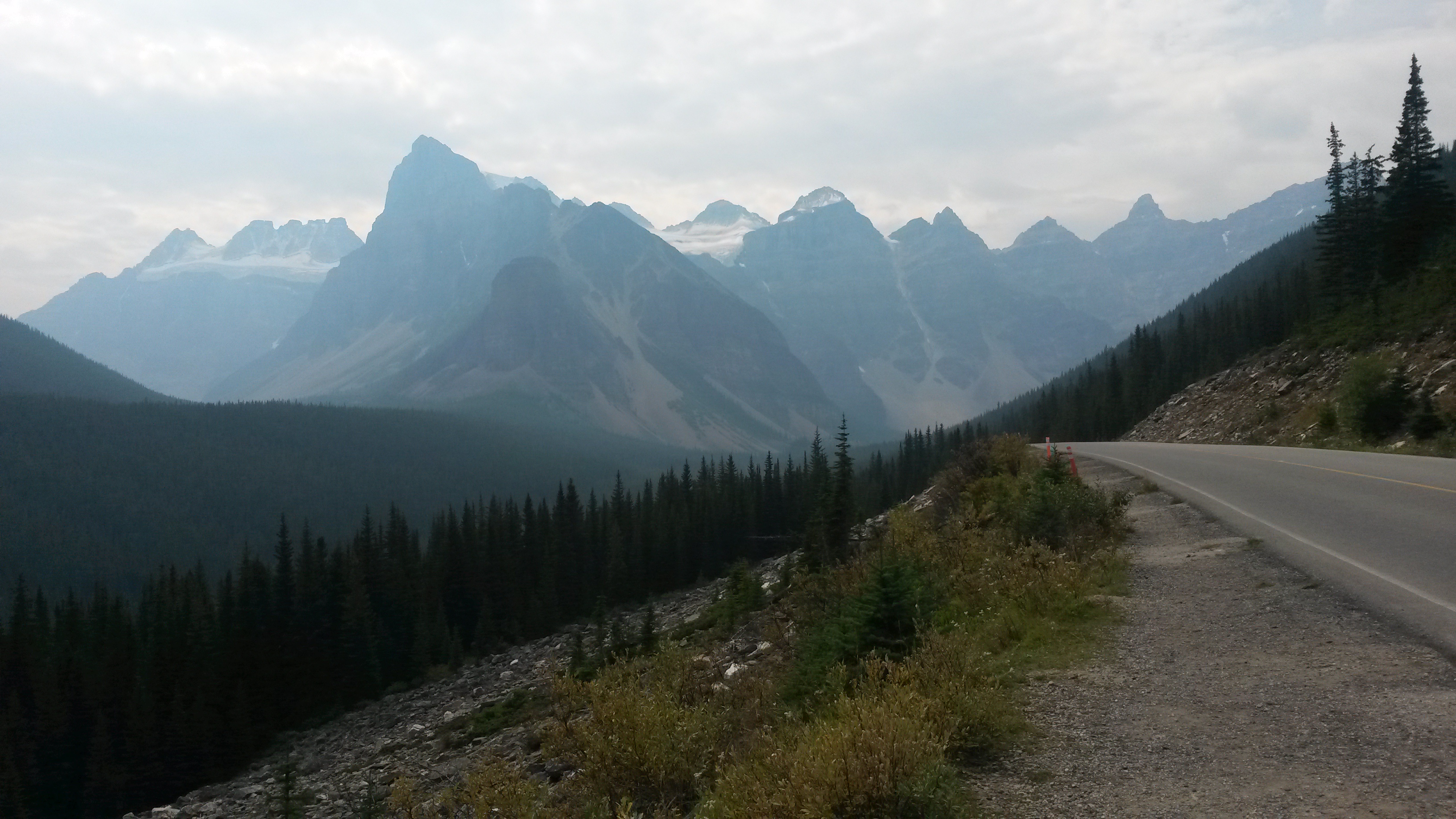
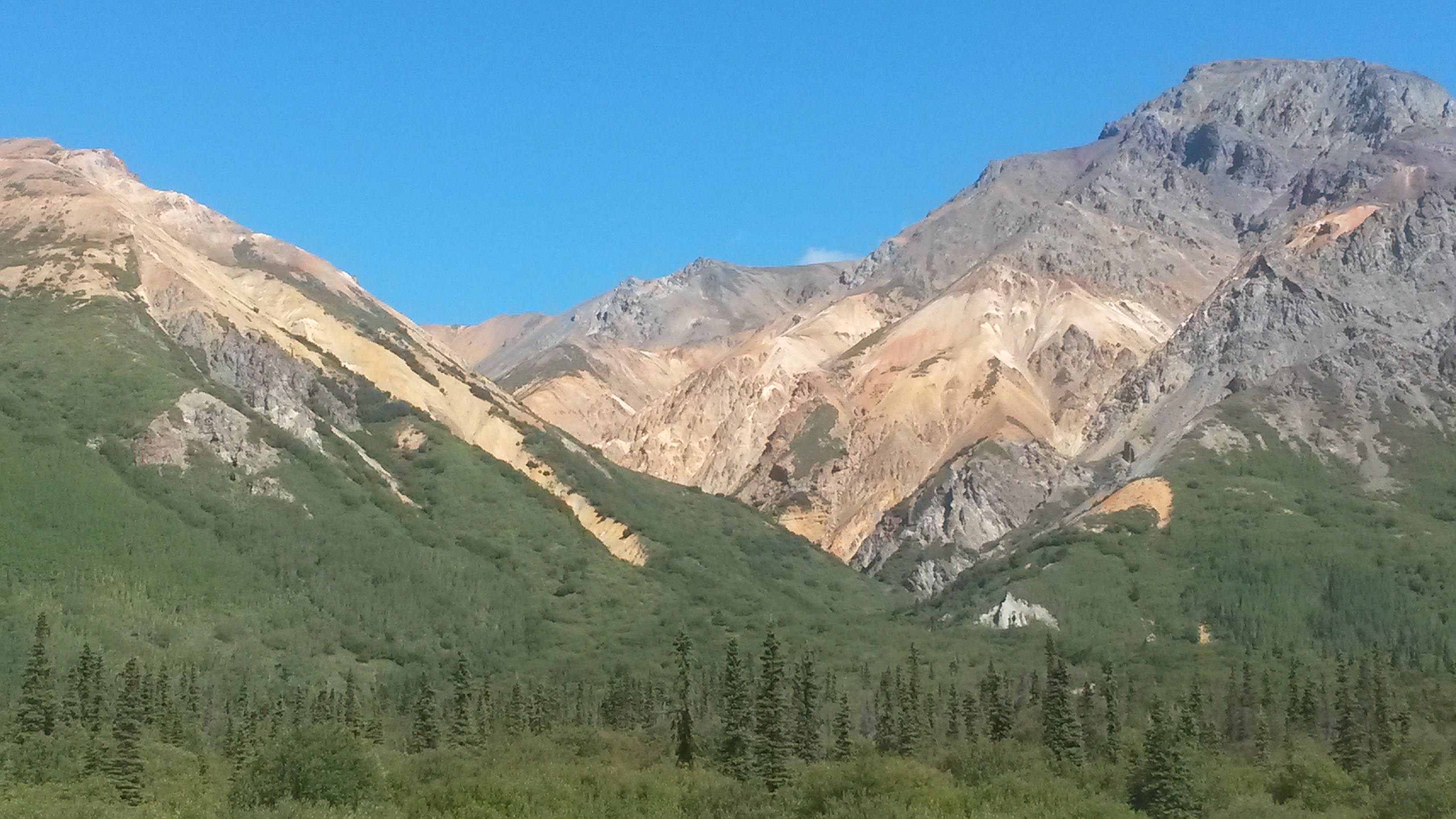
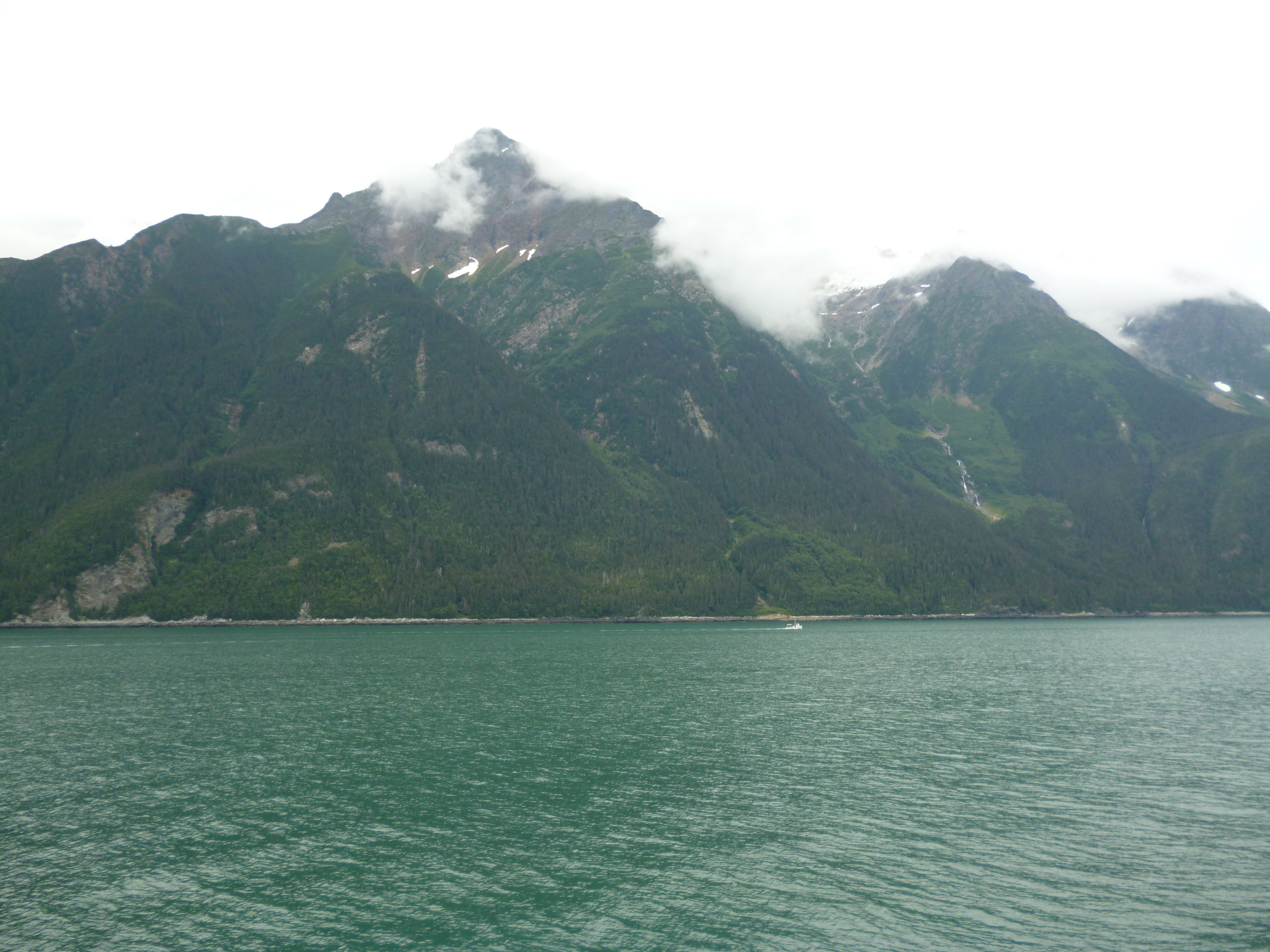
The fjords and islands in the area are also beautiful. Solid rock appears to magically turn into trees at the top. What are the tree roots holding onto?

P1050530

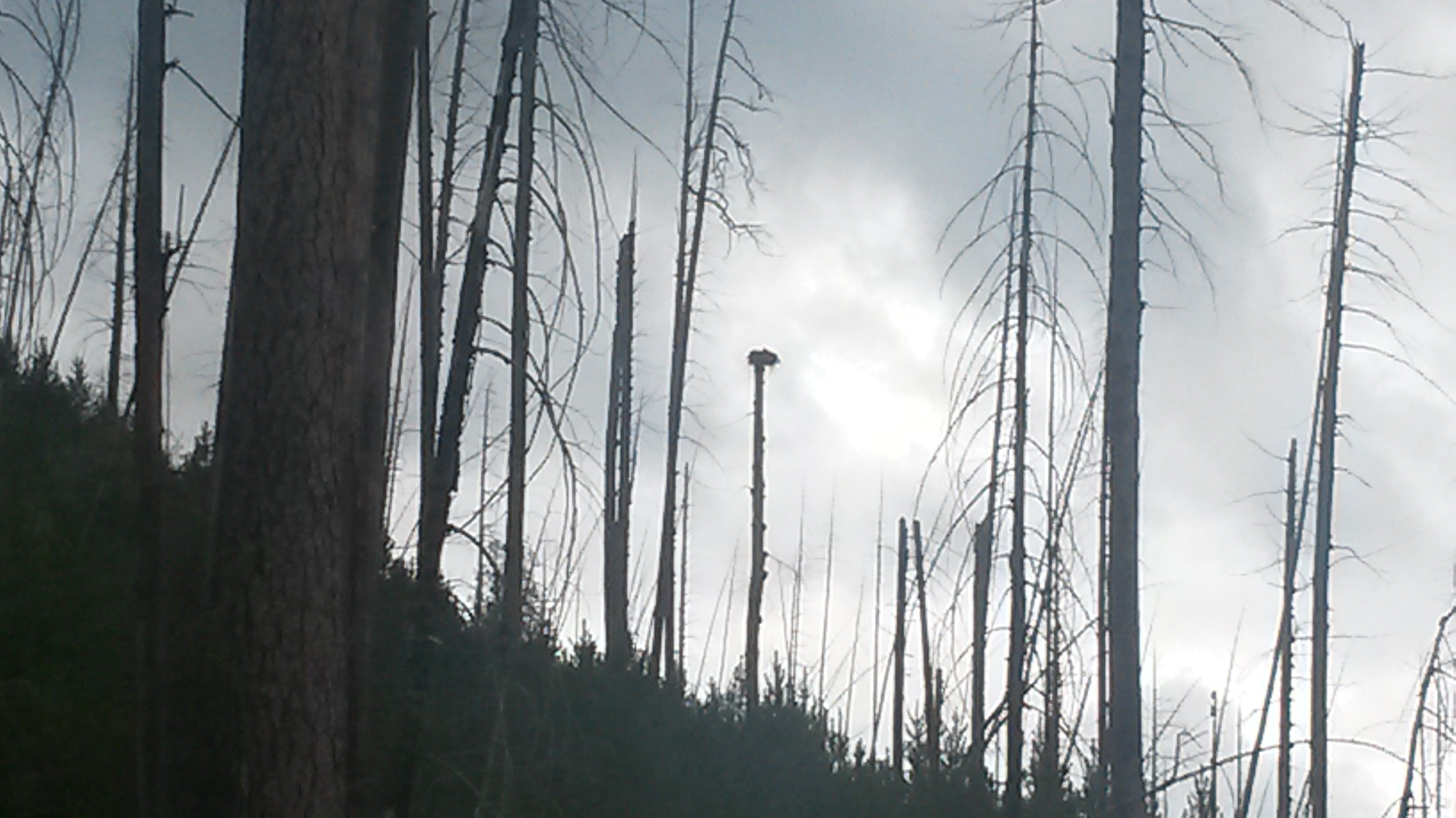
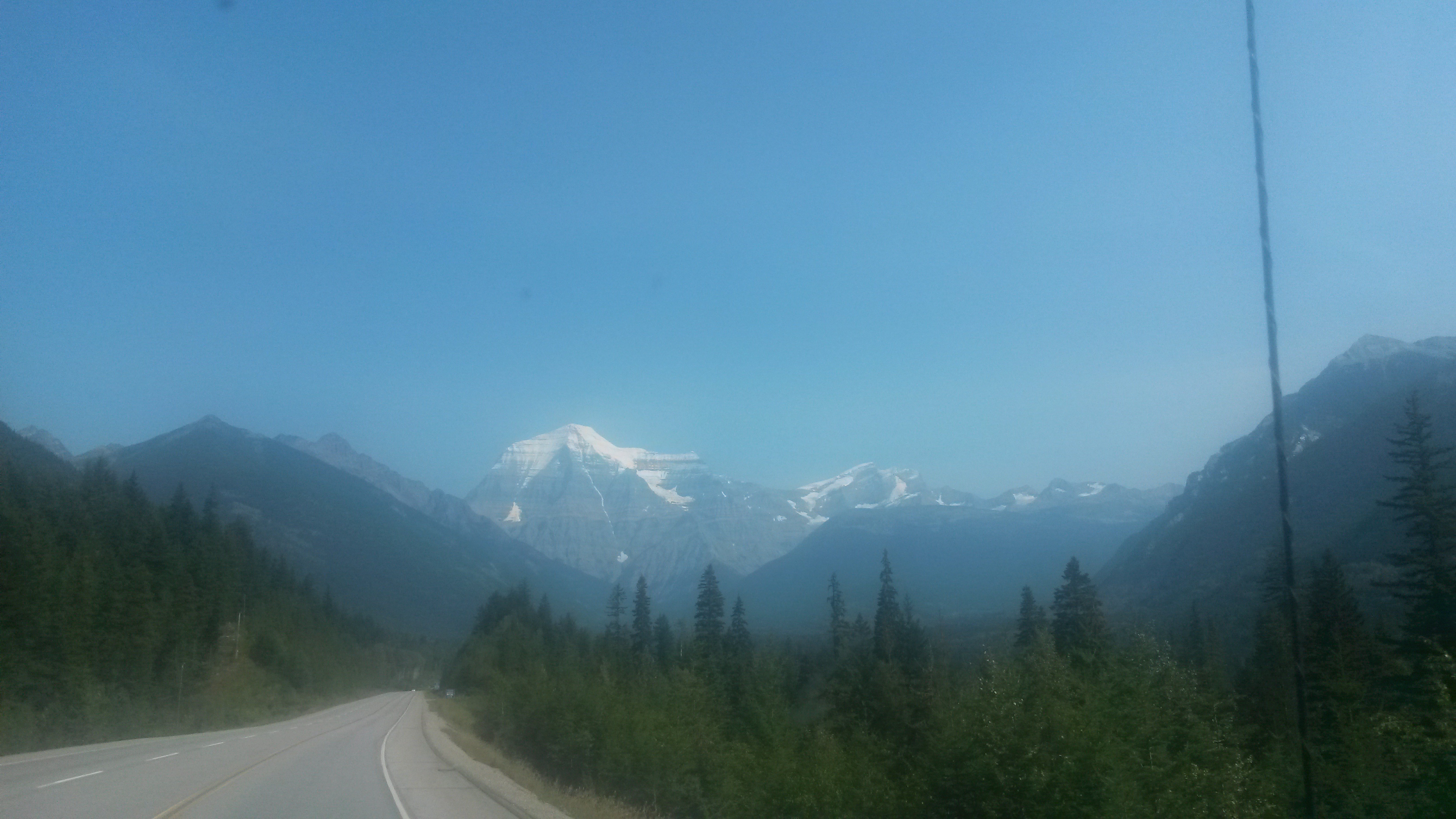
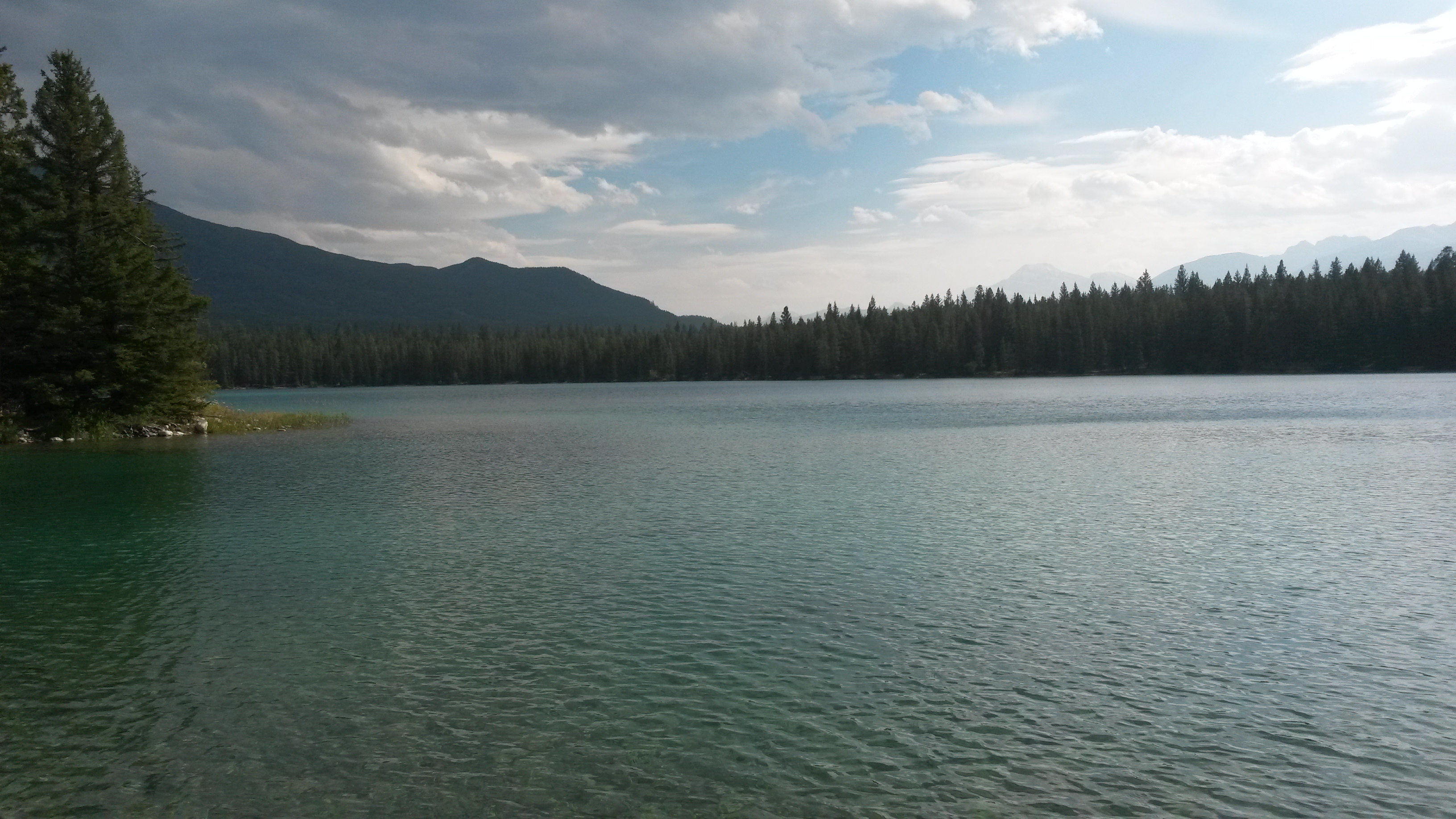
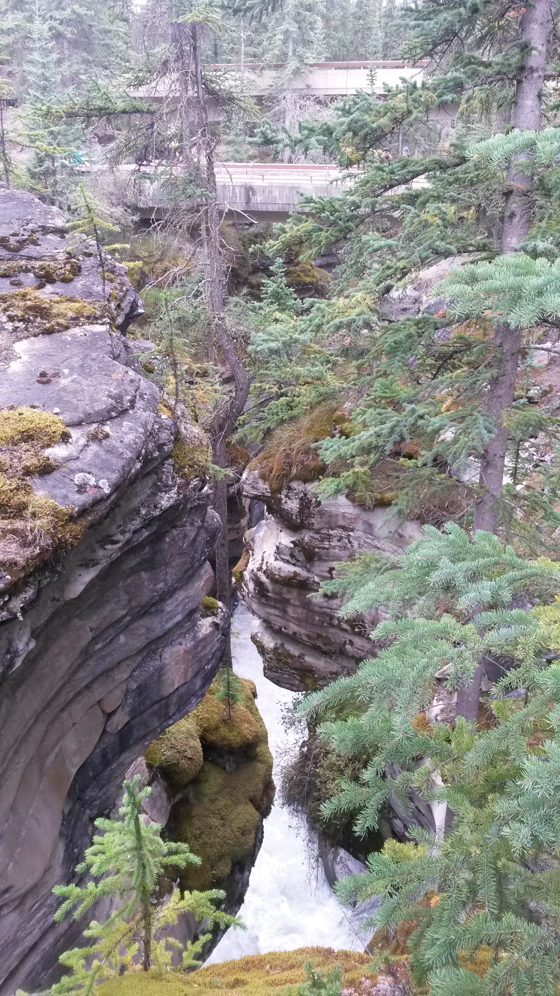
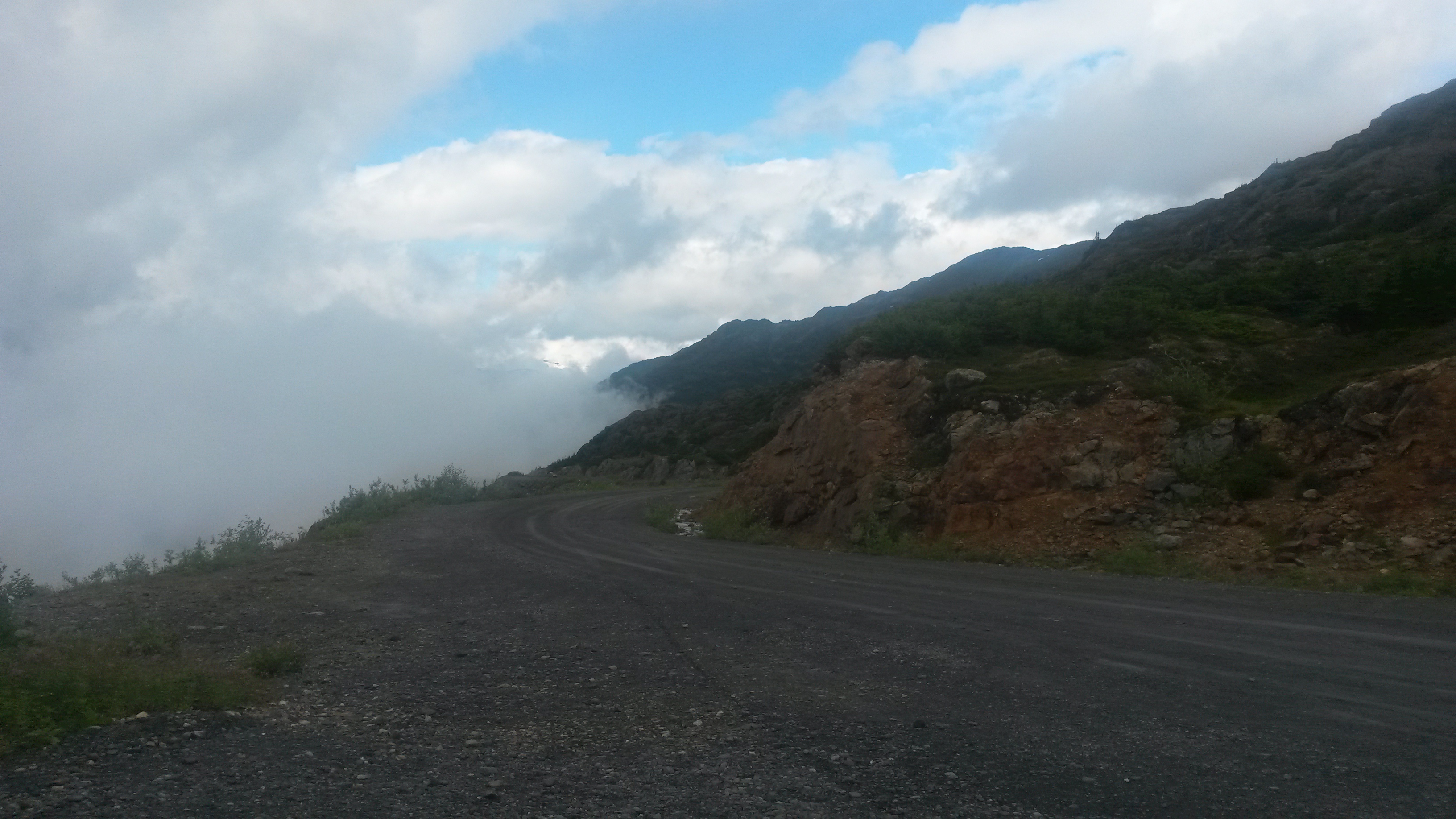
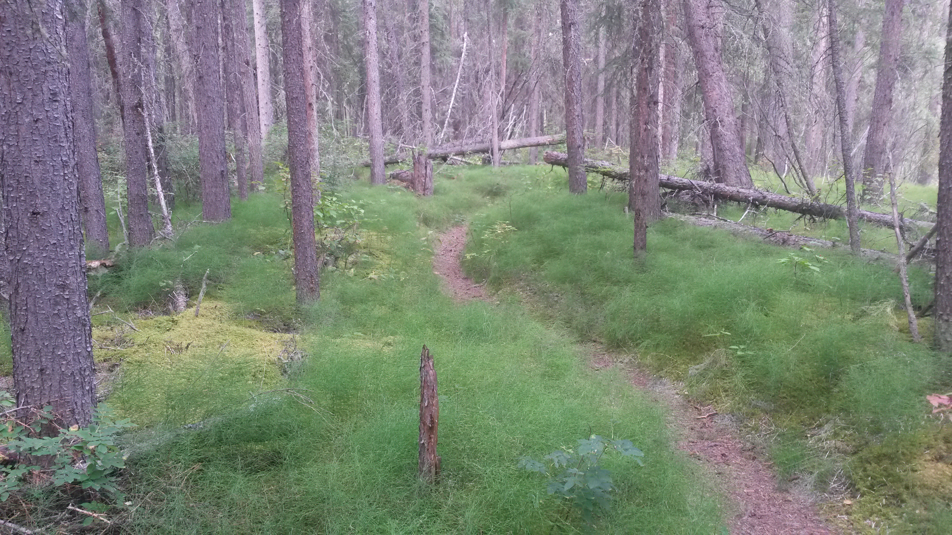
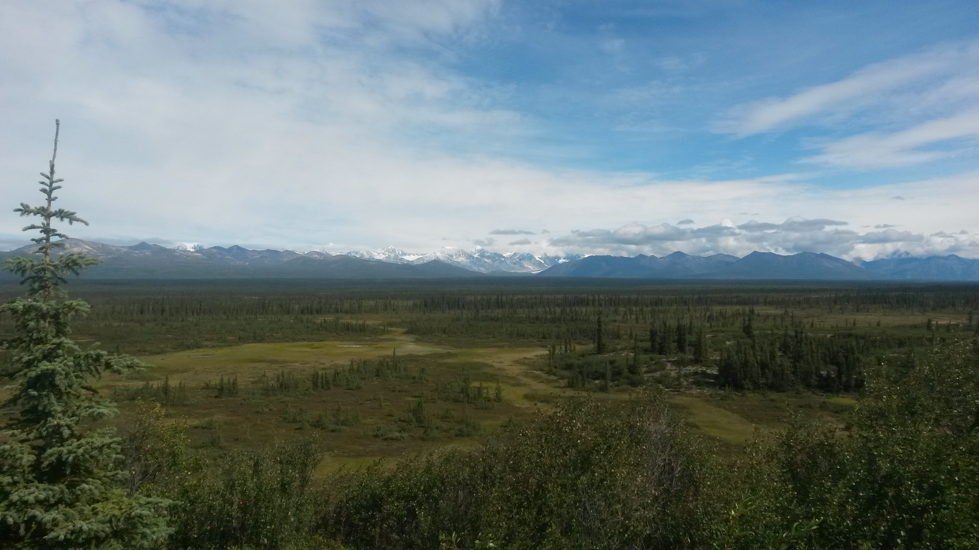
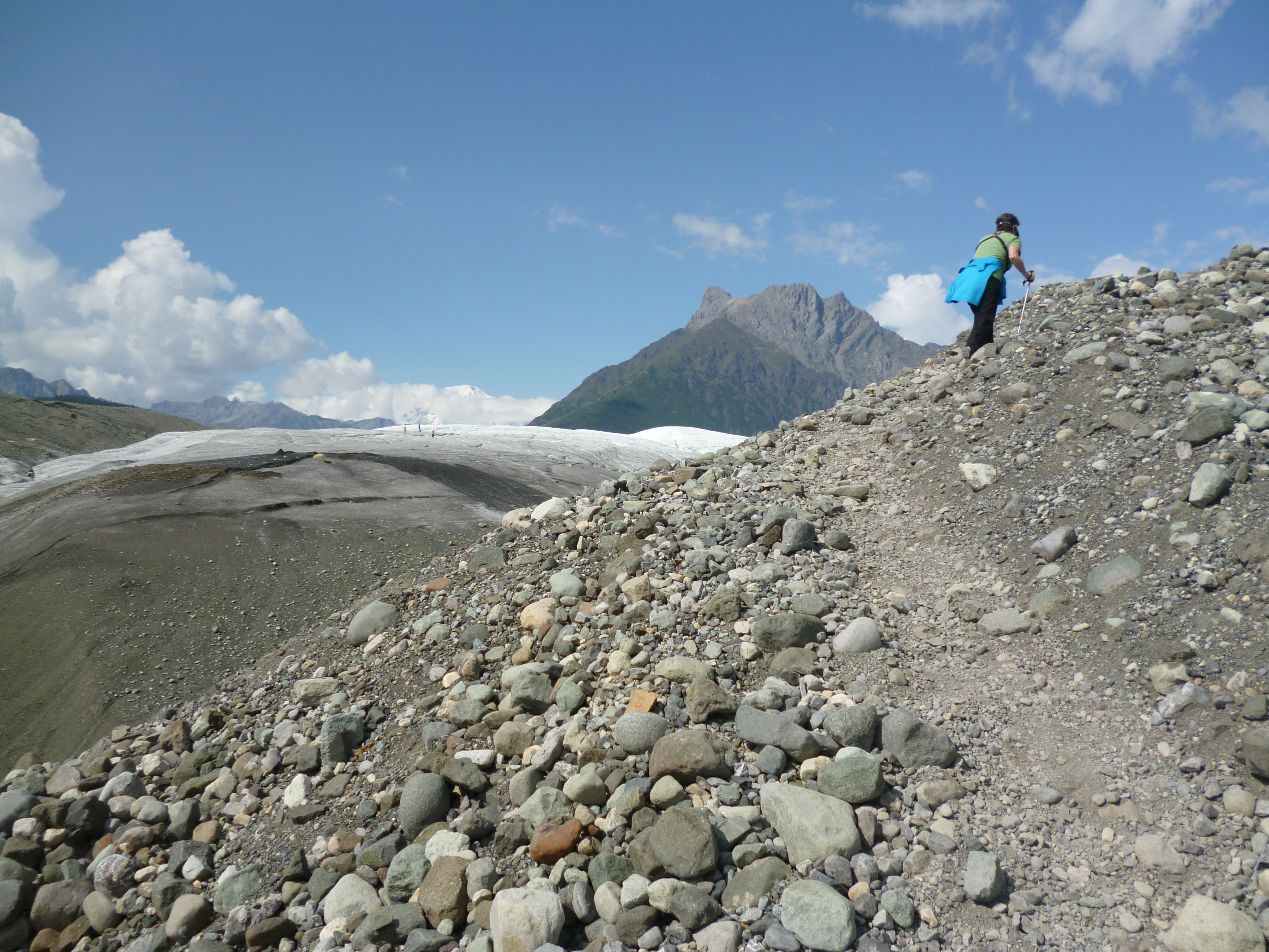
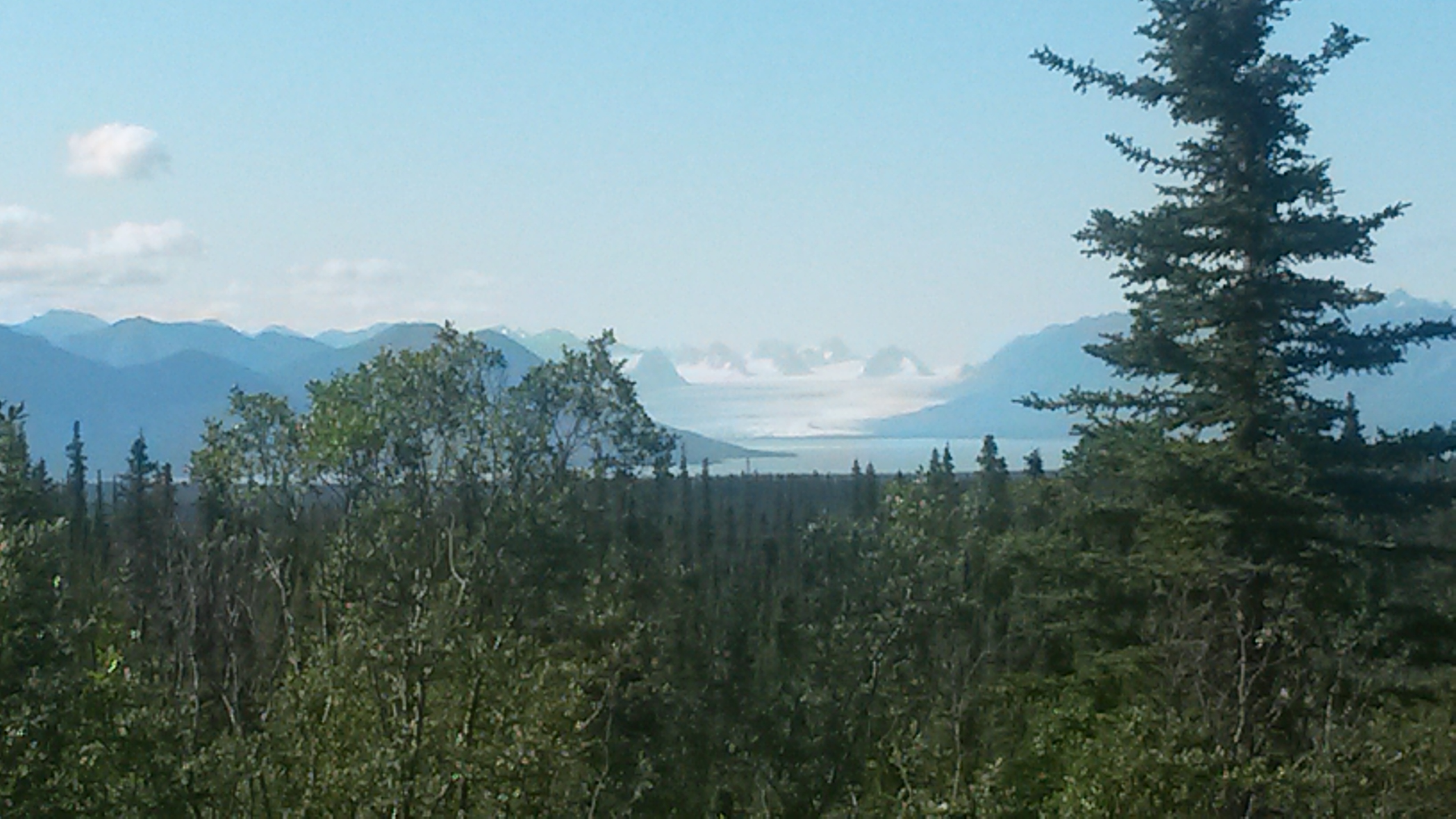
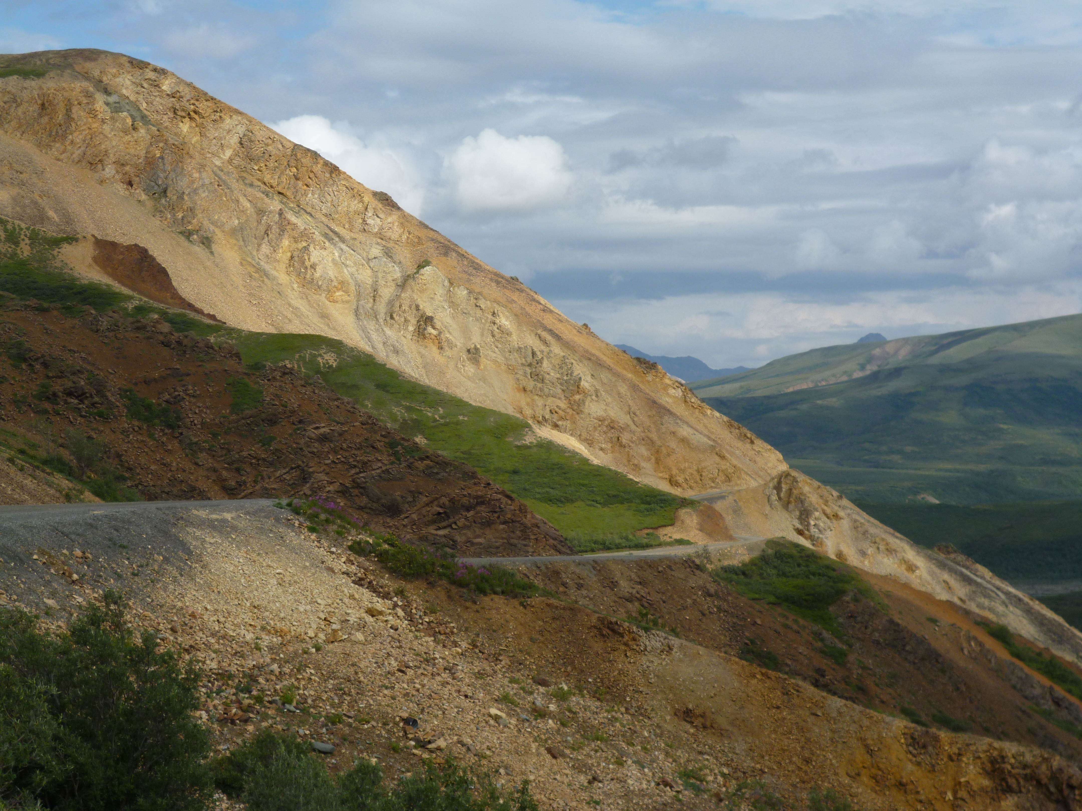
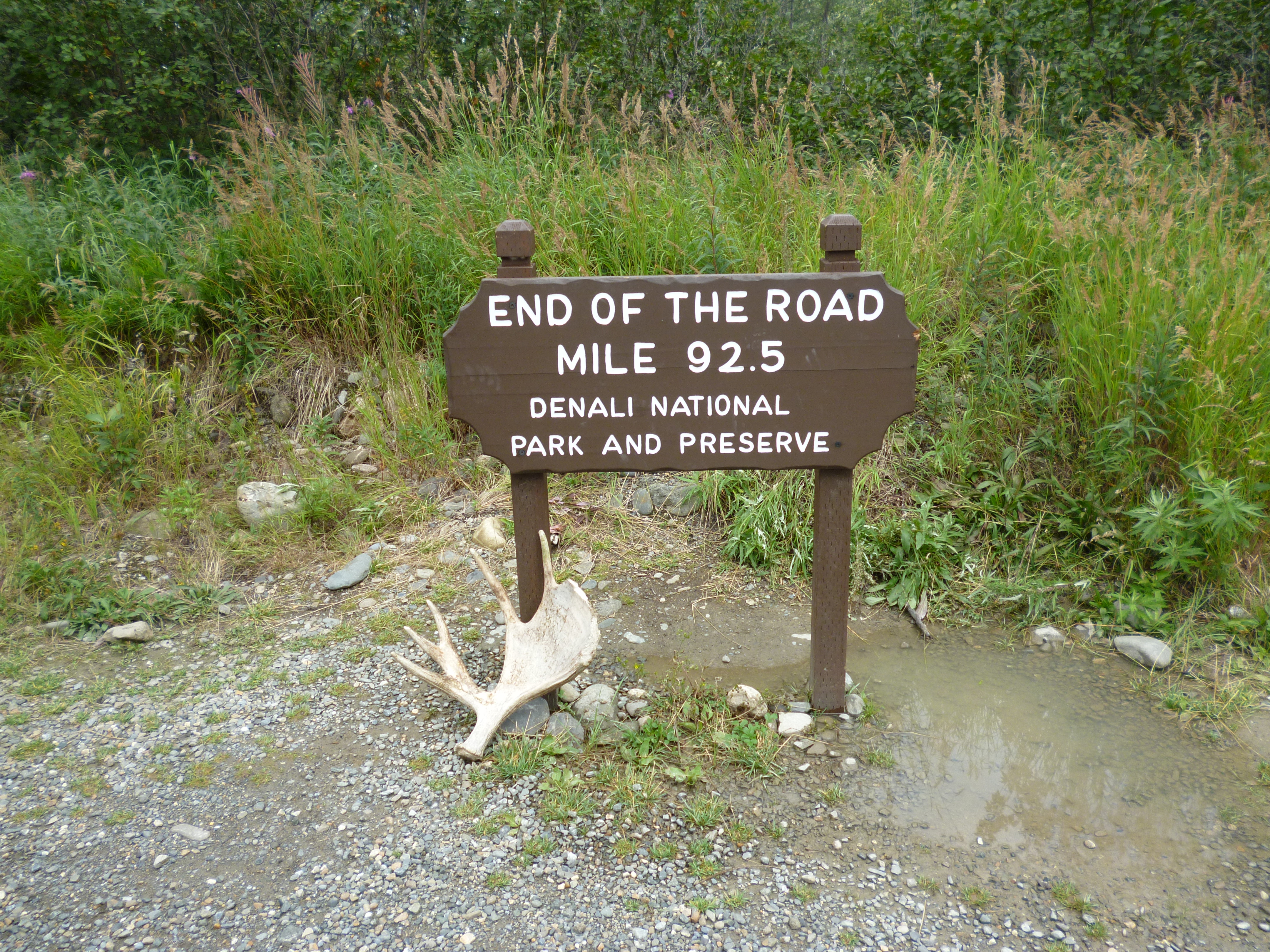
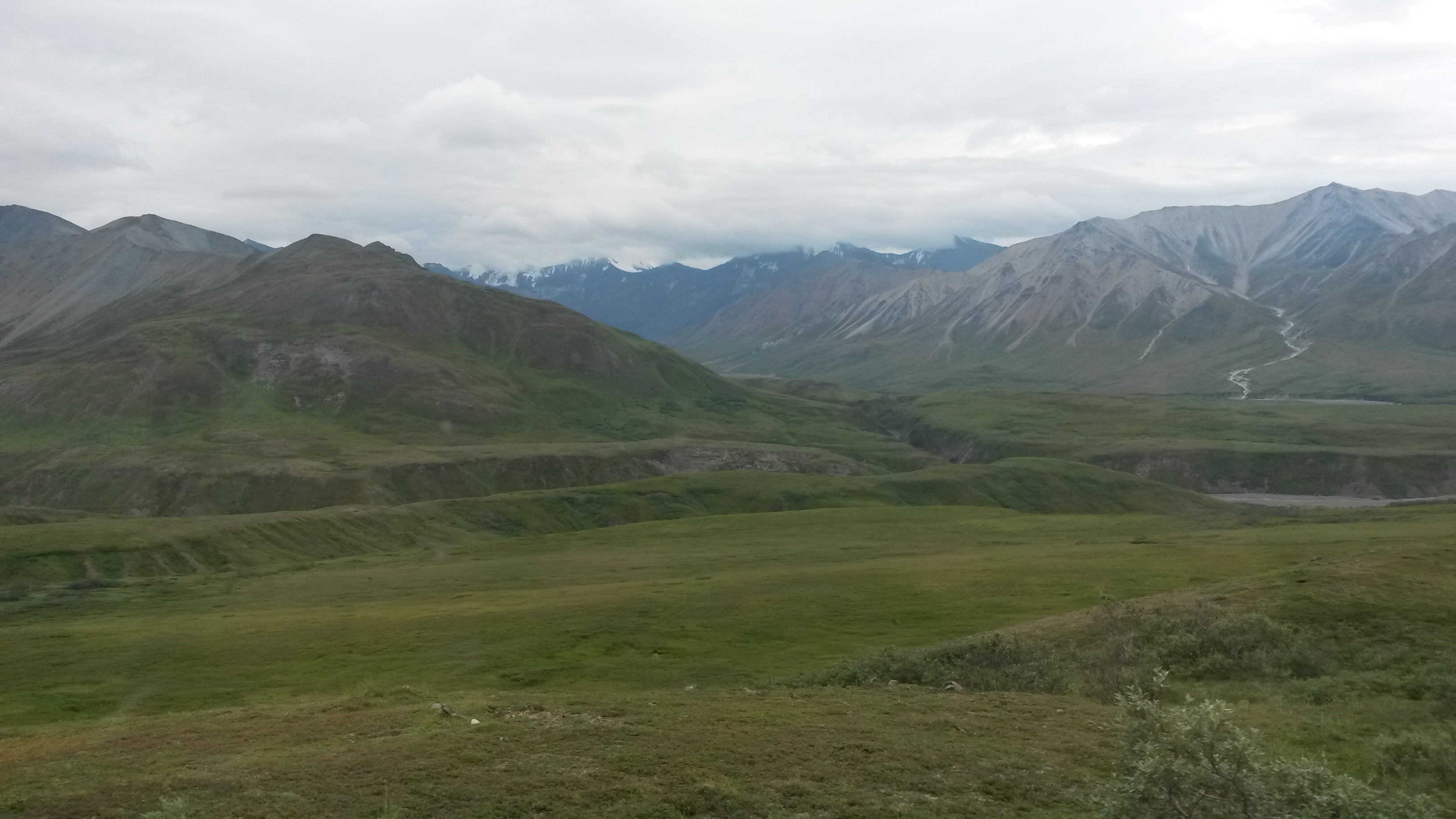
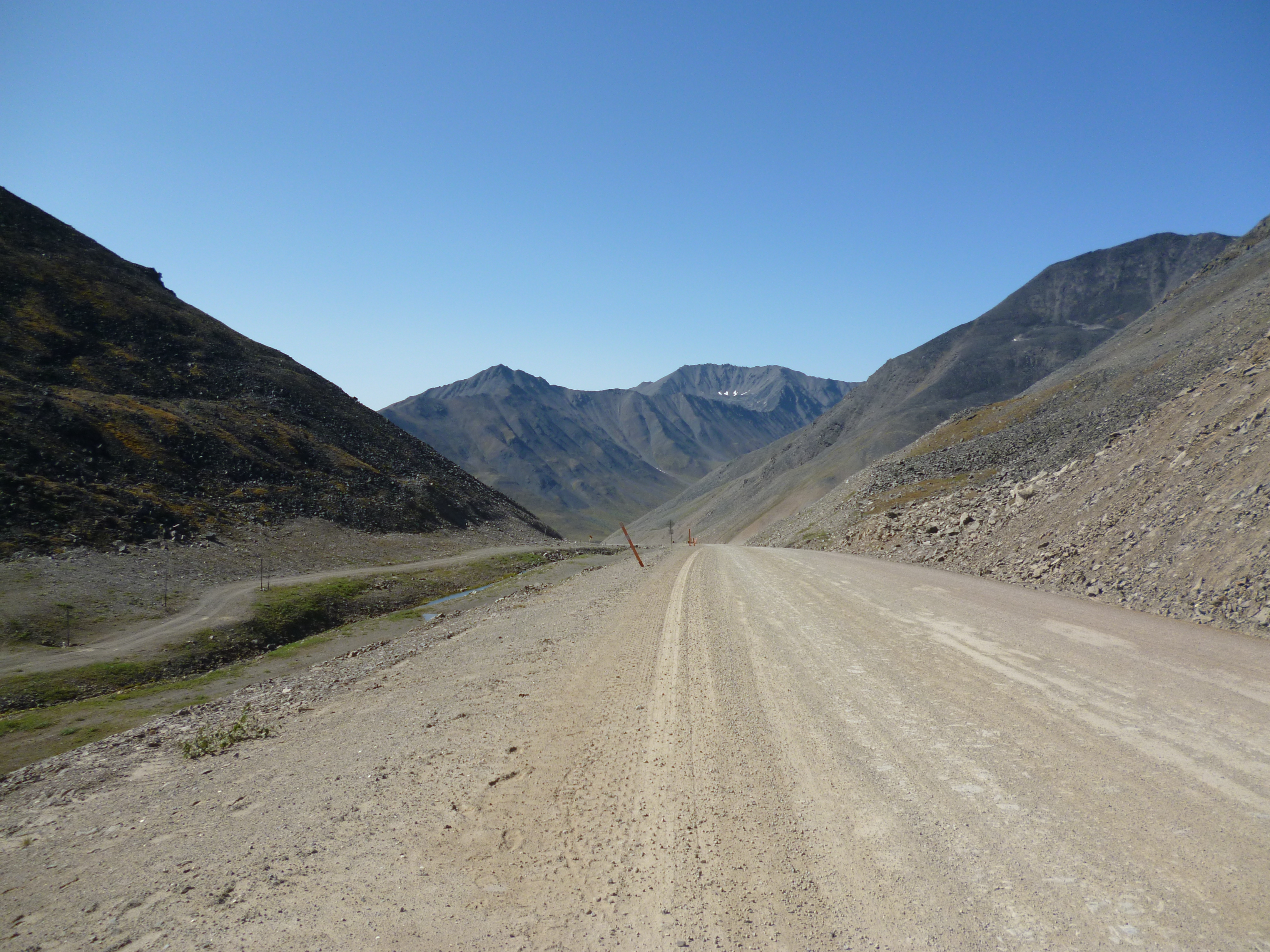
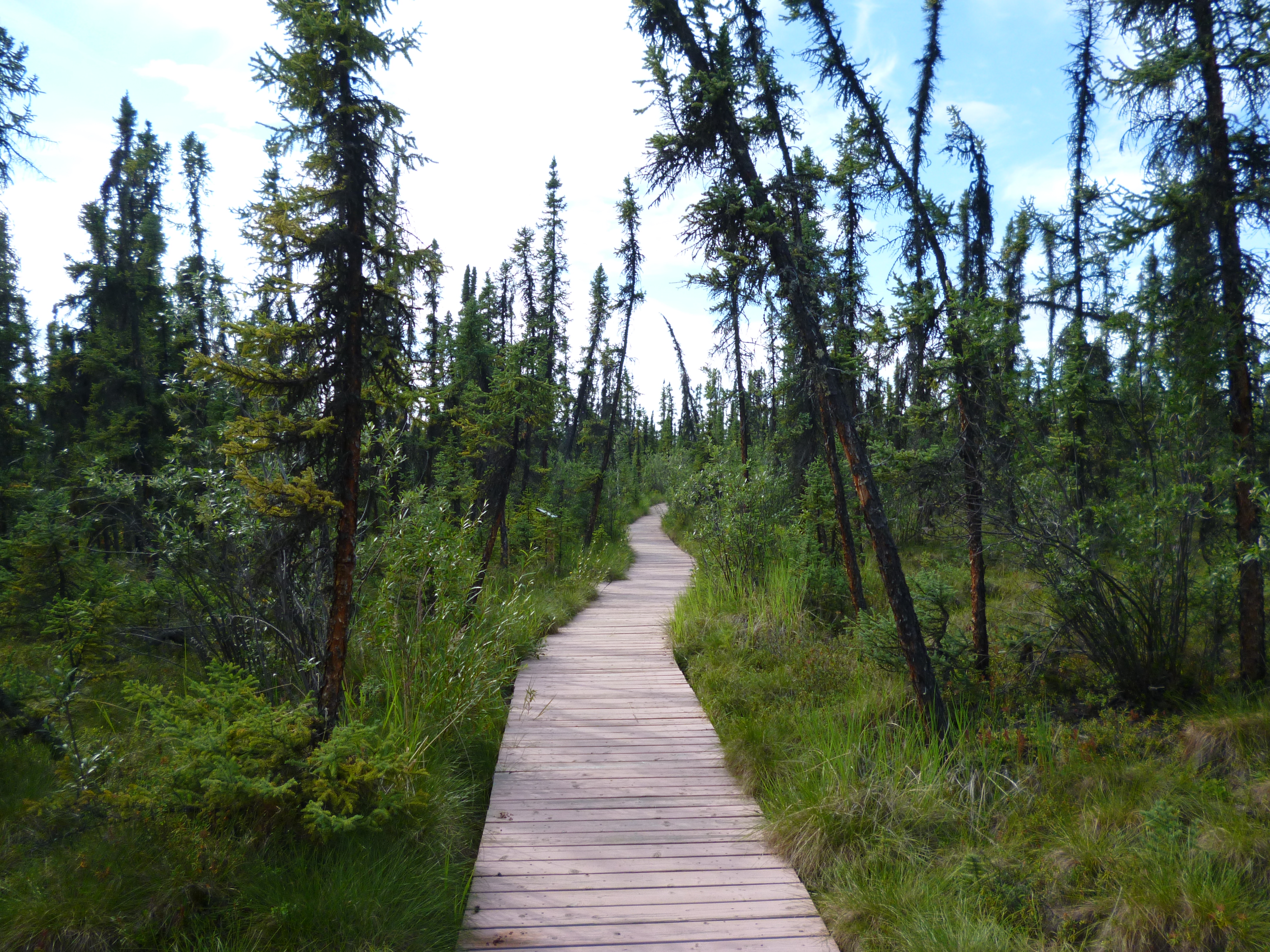
On the way out of Seward we hiked to Exit Glacier, another glacial arm off the Harding Ice Field. All of the glaciers are receding, and they have been for a few hundred years. It makes me wonder how far back you would have to go to get to a point where the glaciers were growing.

P1050556

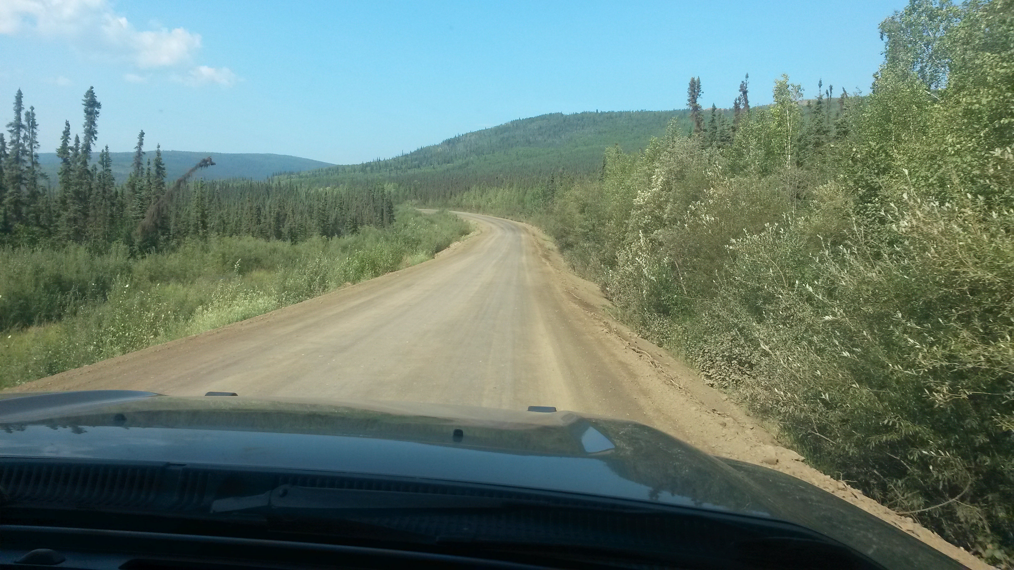
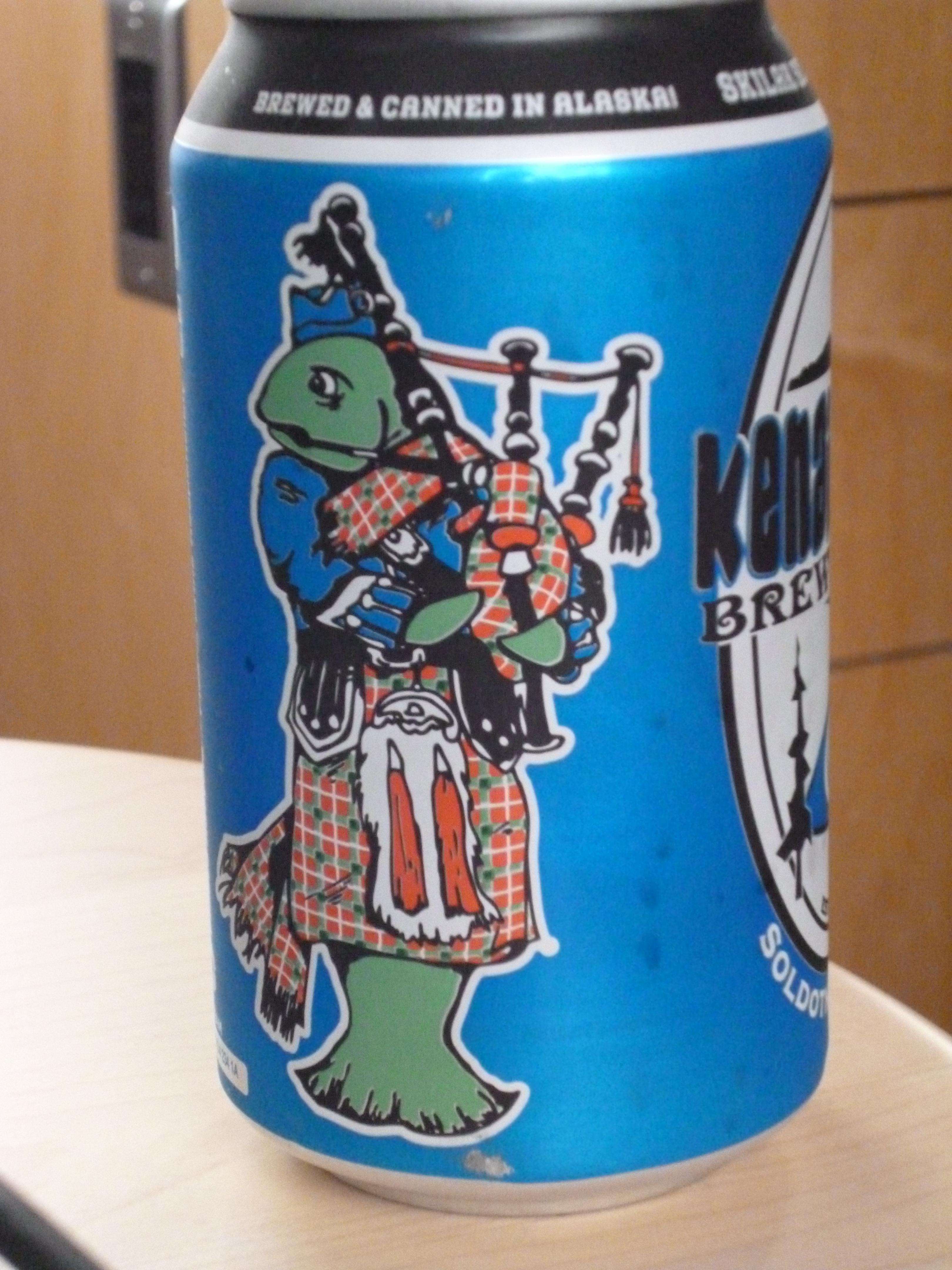
We then made our way to the other side of the Kenai Peninsula, and the town of Soldotna. It has two breweries we wanted to visit, but only one served food and it was lunchtime. We sampled the St Elias Brewery. Both the beer and the food were very good. We ended up visiting it a second time as we made our way back up to Anchorage from Homer. It was a rainy day on our way back north and their soup hit the spot.

20150809_115500

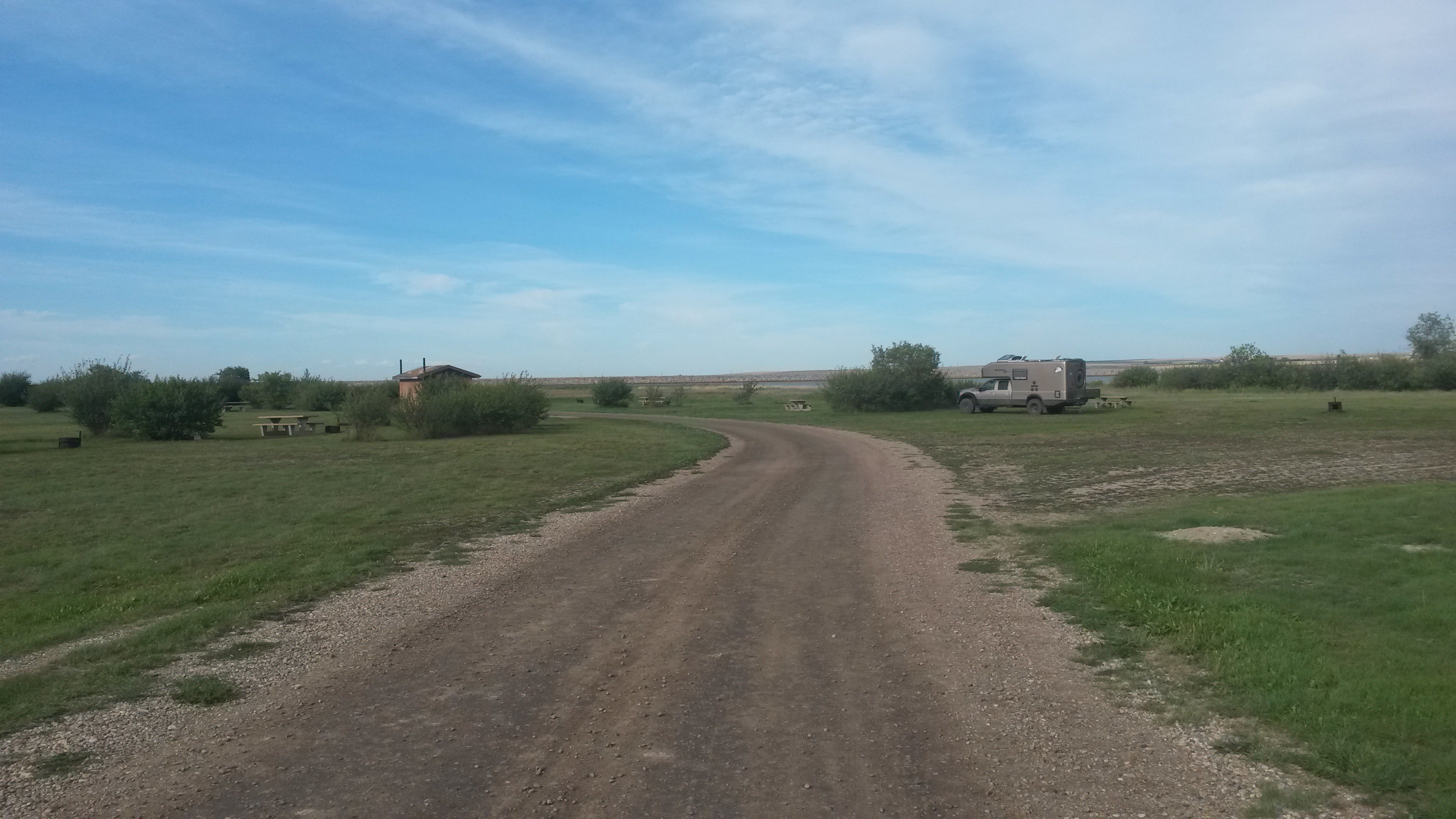
Going south from Soldotna, we made our way to Ninilchik to camp at the Alaskan Angler RV Resort. Not only do they offer a campsite, but also charter halibut fishing that I did not want to miss while in Alaska. Pam decided that she would not risk another day at sea. Halibut fishing is not good for those who might get seasick. The fishing is done from an anchored boat that is constantly rocking. However, the day was perfect for fishing. The wind was down, the water was relatively smooth (still probably not smooth enough for Pam as one guy in our group did get a little green while we were out there). Halibut fishing is done around low tide so the water is as shallow as it will get (where they have 30-foot tides here) and there is very little tide current in the water.

20150807_085421

I pulled in two nice fish for the day, actually three, but one I had to release. The new fishing rules allow you to keep just two fish, and one has to be 29 inches or less. I luckily caught a 29-incher and one just over 3 feet for over 20 pounds of vacuum-packed one pound halibut fillets. These were the fish from our boat. No need to point out my fish, I’ll tell the story of their size as the circumstances require – lol.

P1050569

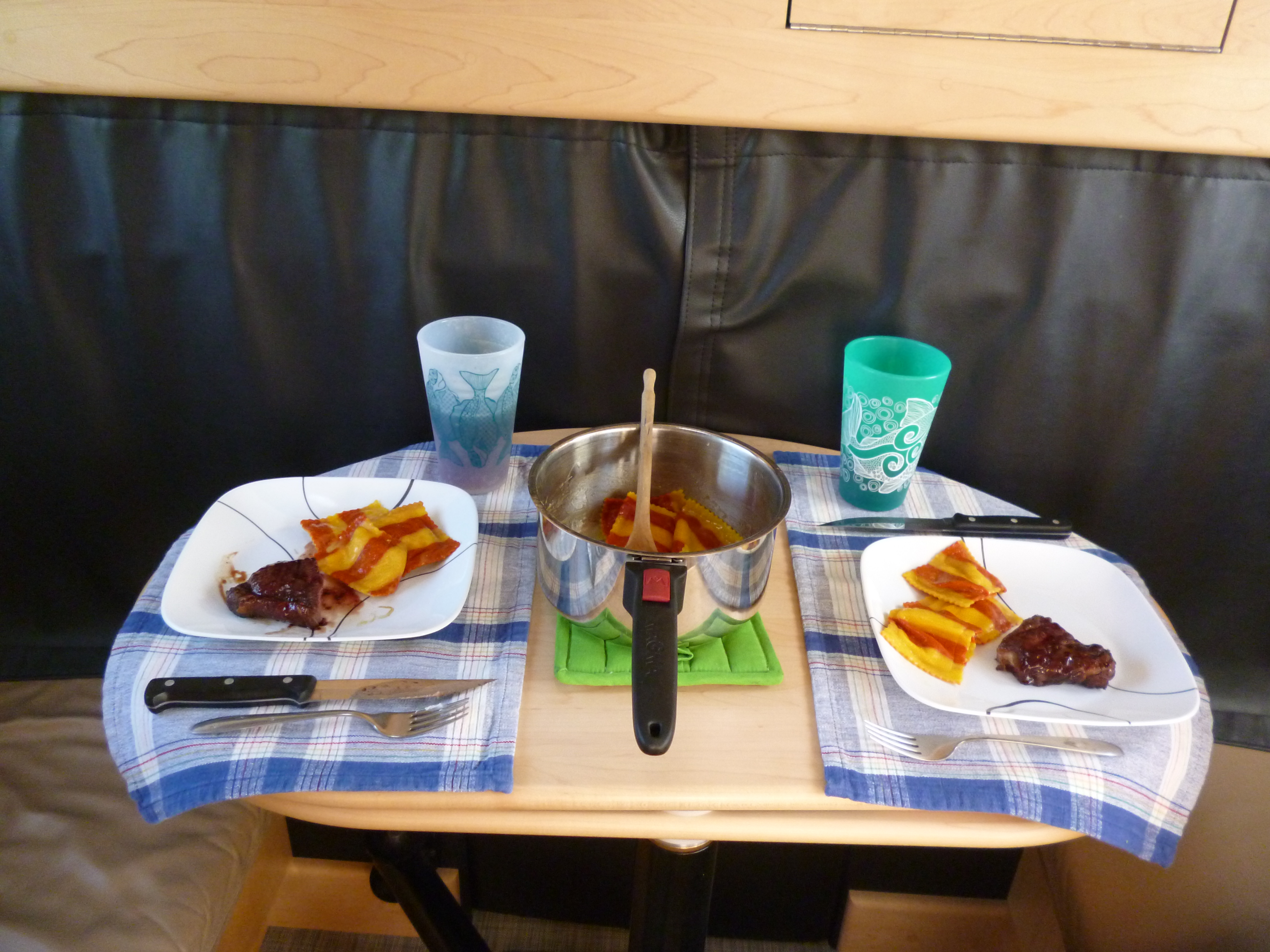
We traded some of the fillets with our camp neighbors, who went salmon fishing for the day, which is also huge on this side of the peninsula. We now have salmon and halibut for the ride home, and probably even after we get home. We ate halibut that night, a nice fillet along with the halibut cheeks as an appetizer. The cheek meat is best fried up in a little butter and is just like a fresh scallop.

The cost of the charter, camp spot, and fishing license were more than covered by the current price of halibut and the amount I caught. Pam has not bought into that line of rationale yet. If she does I could see owning a place on the peninsula and a halibut boat in our future.

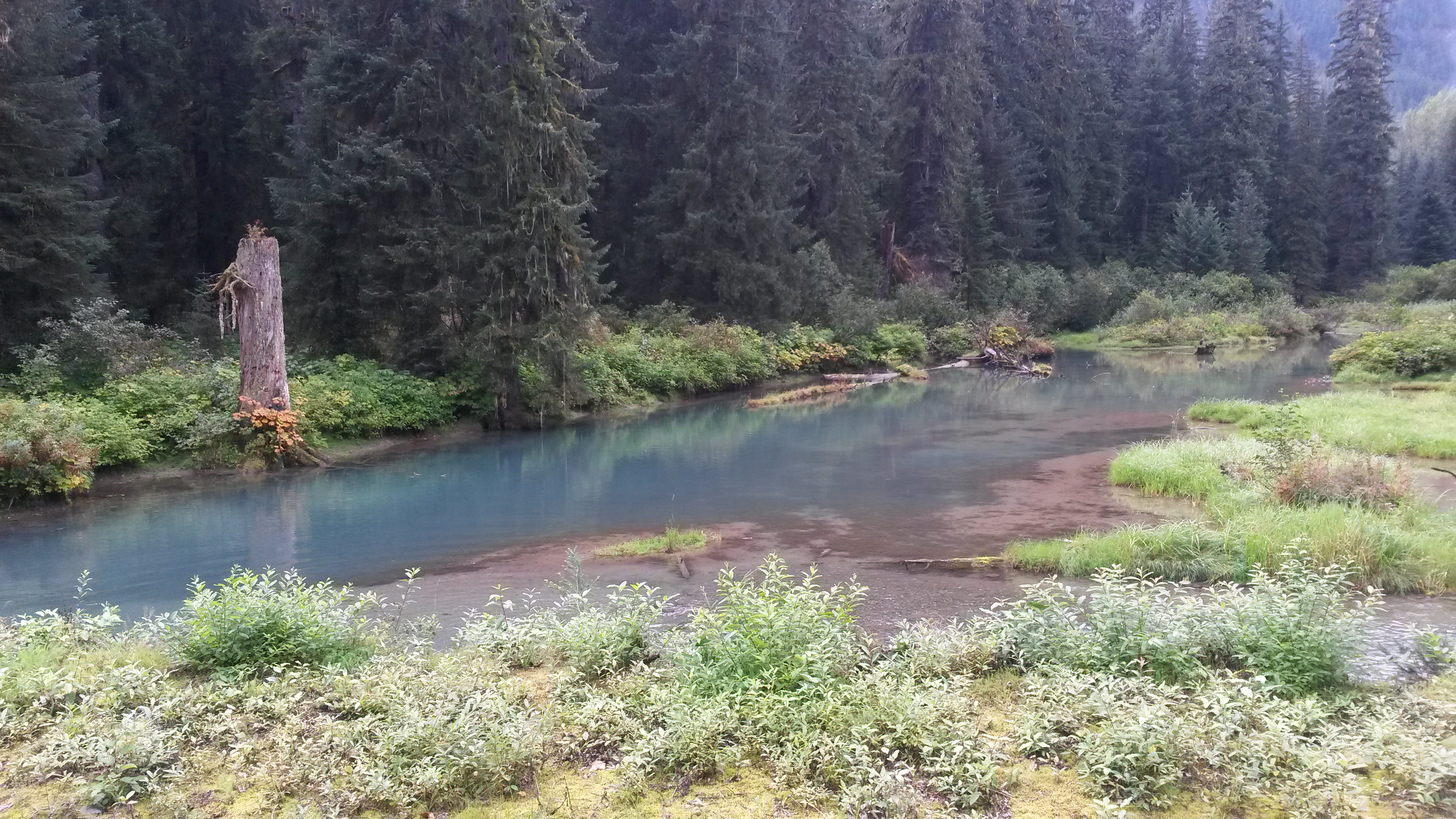
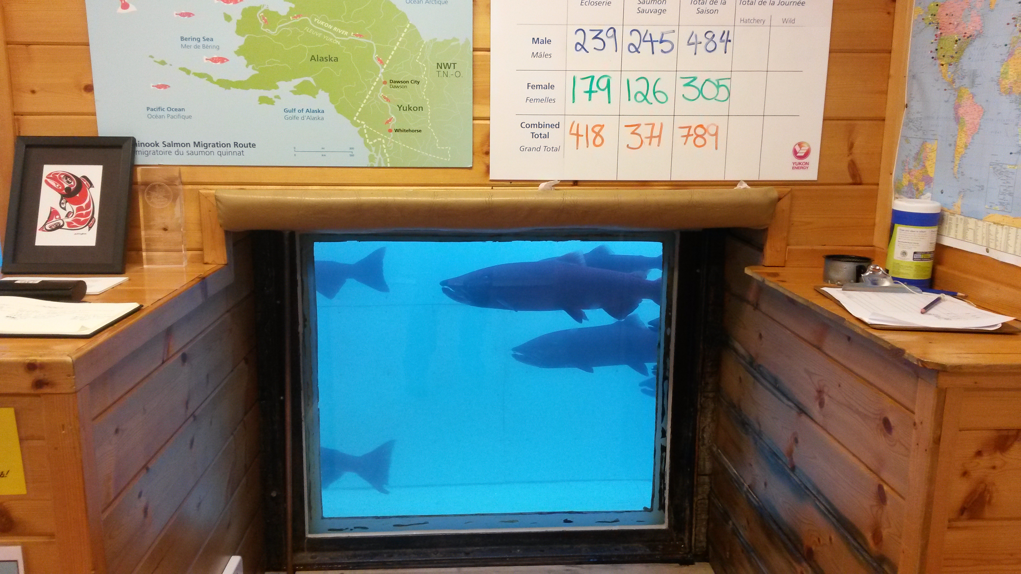
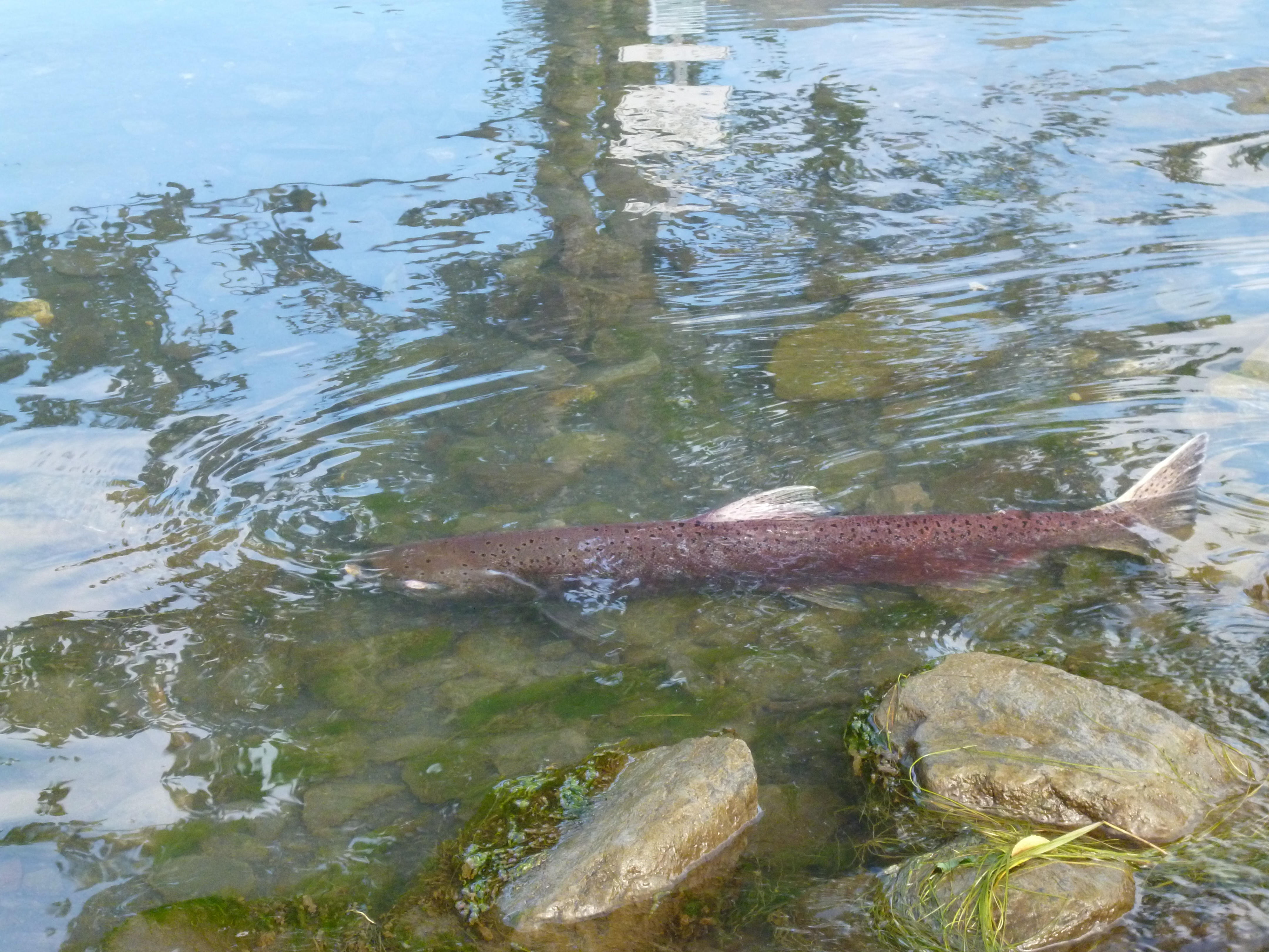
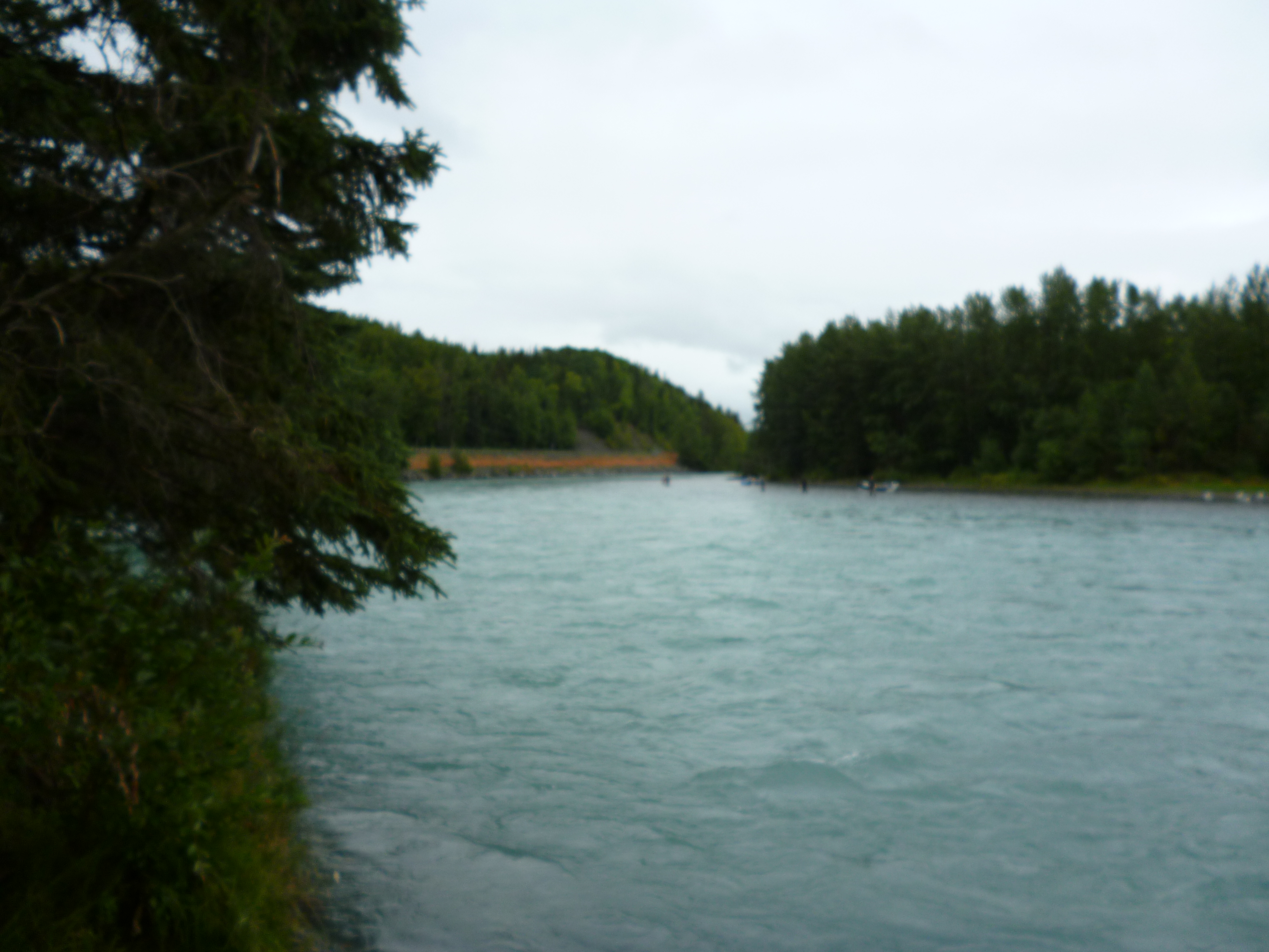
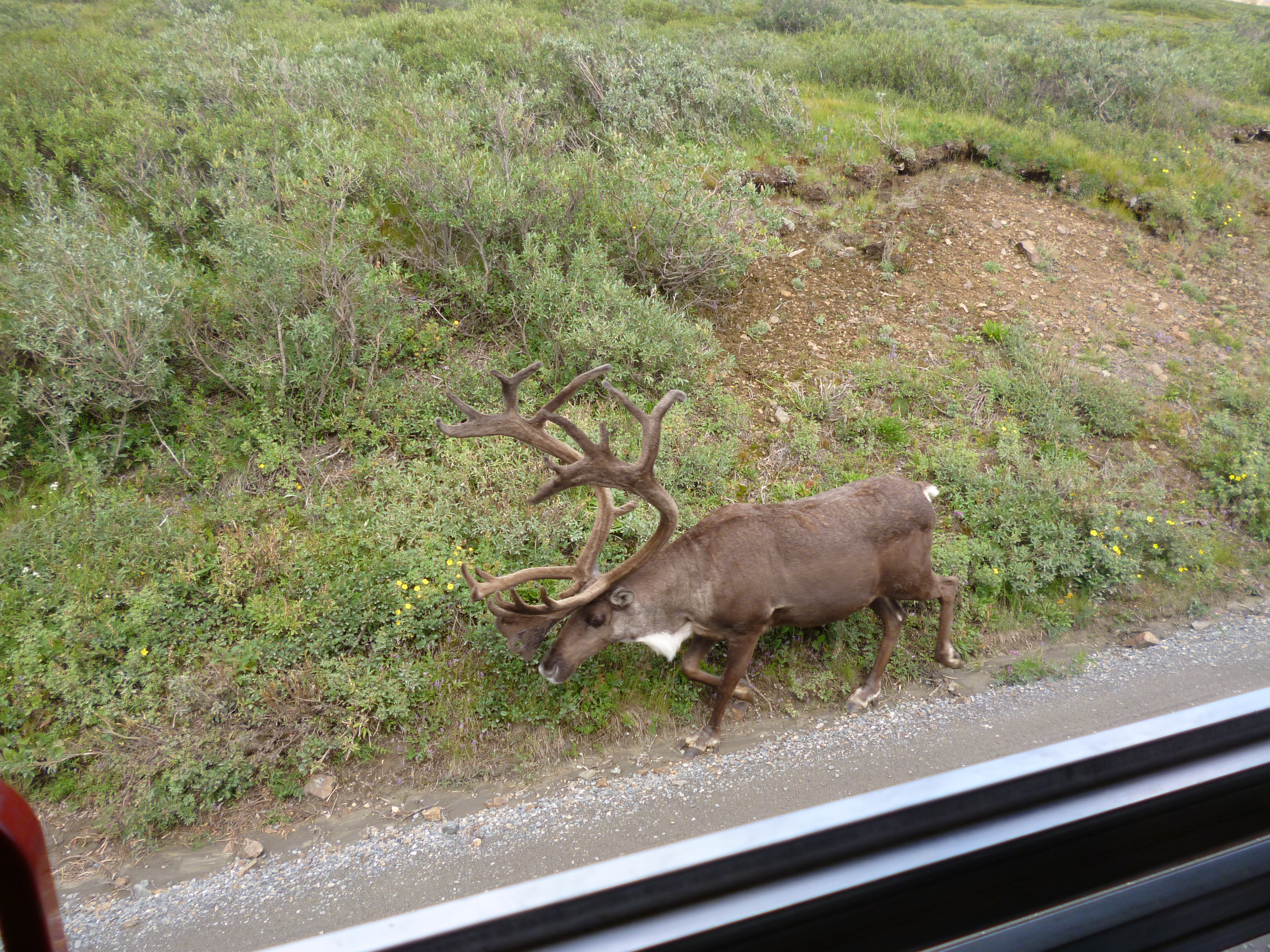
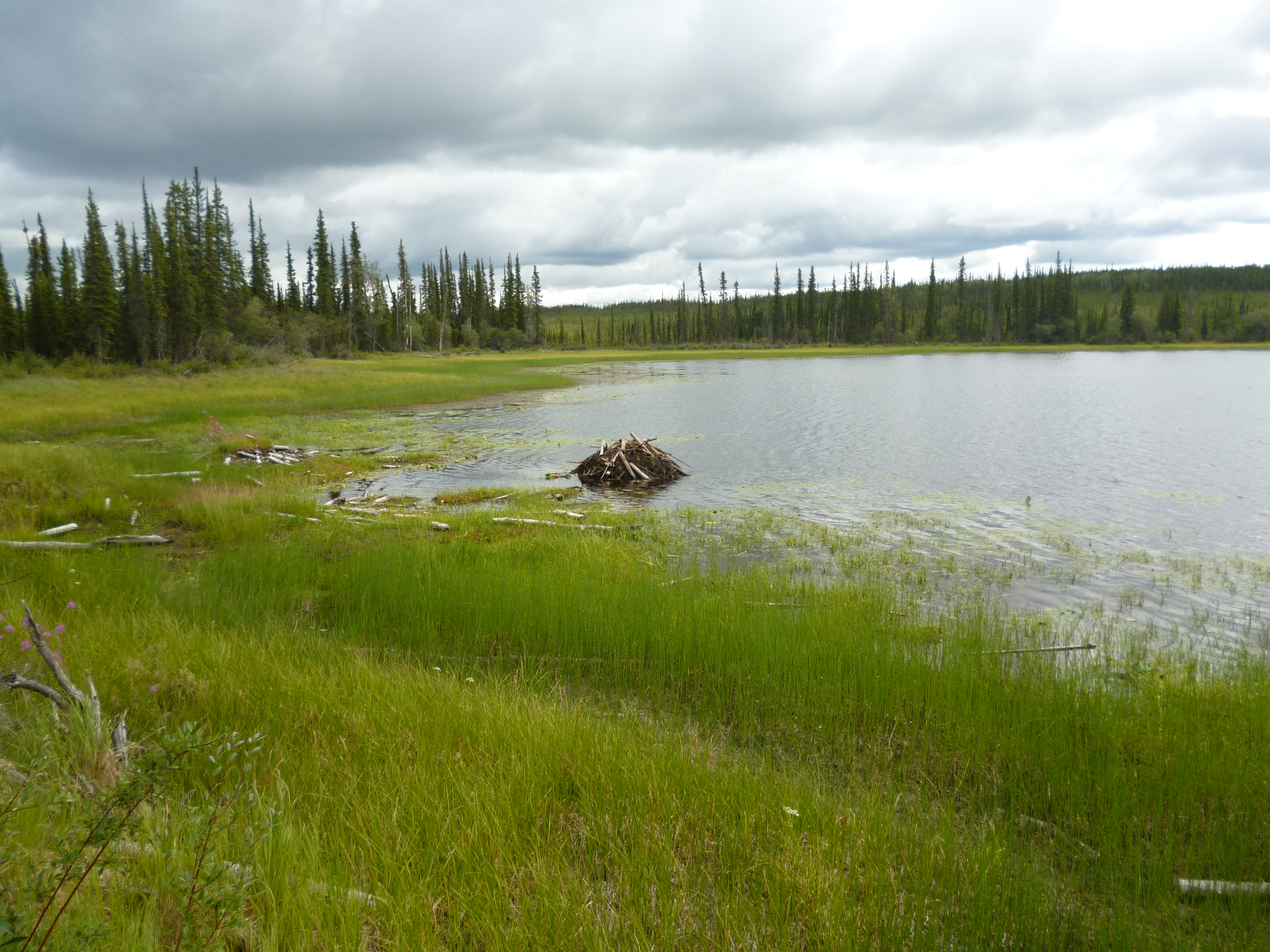
Now that the salmon are running, you can see the salmon in the rivers. This one was roughly 2 feet long. The Kenai River is well known for its salmon and the river has a beautiful powder blue hue.

P1050553

P1050588

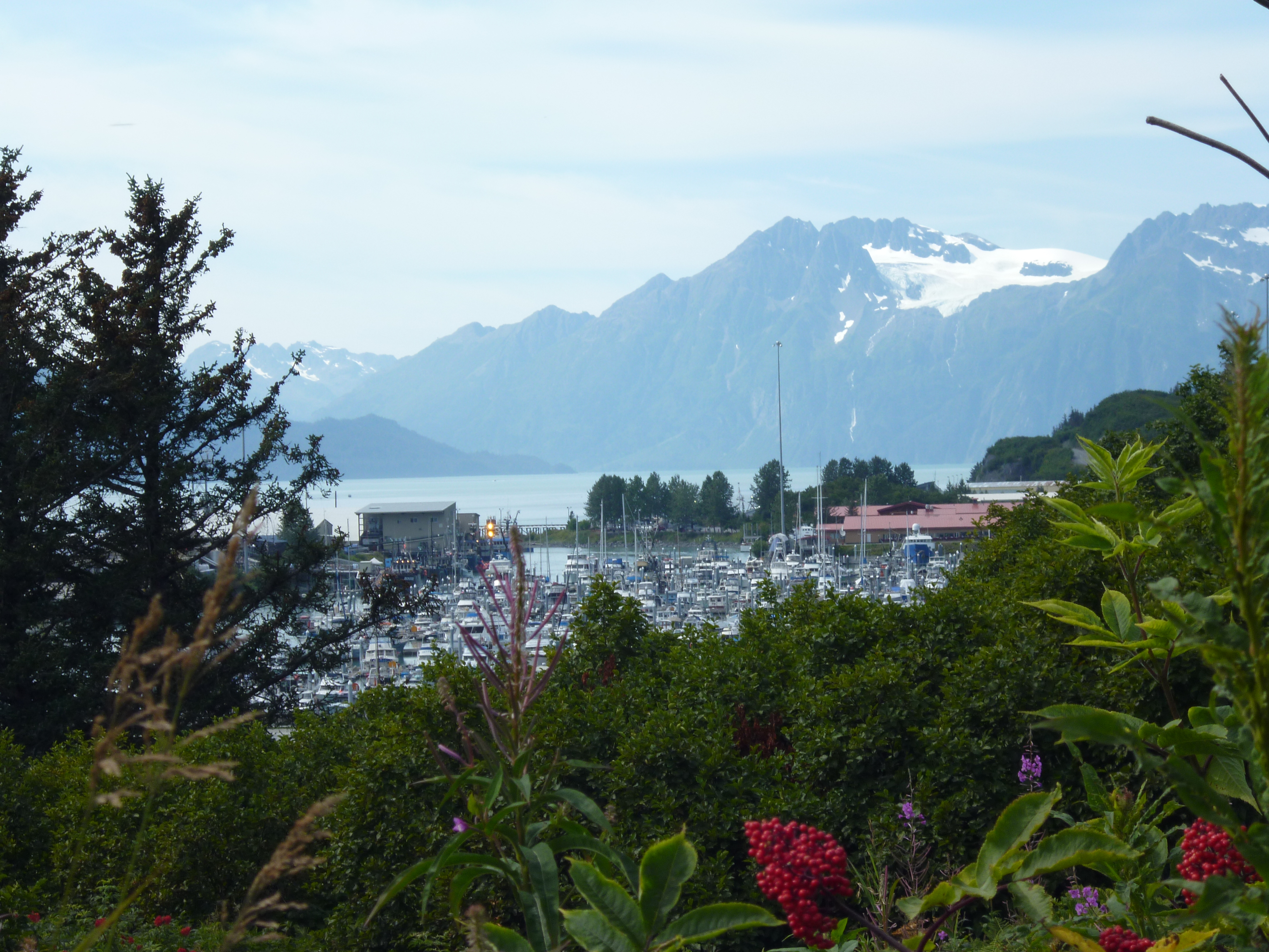
From Ninilchik, we headed south to Homer and the spit that sticks out into the ocean. It’s the small sliver of land off to the left.

20150808_104714

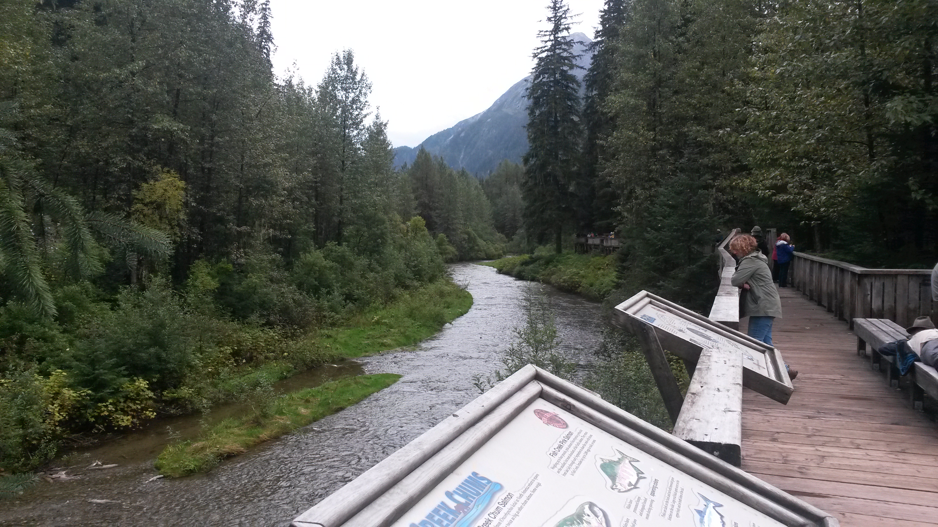
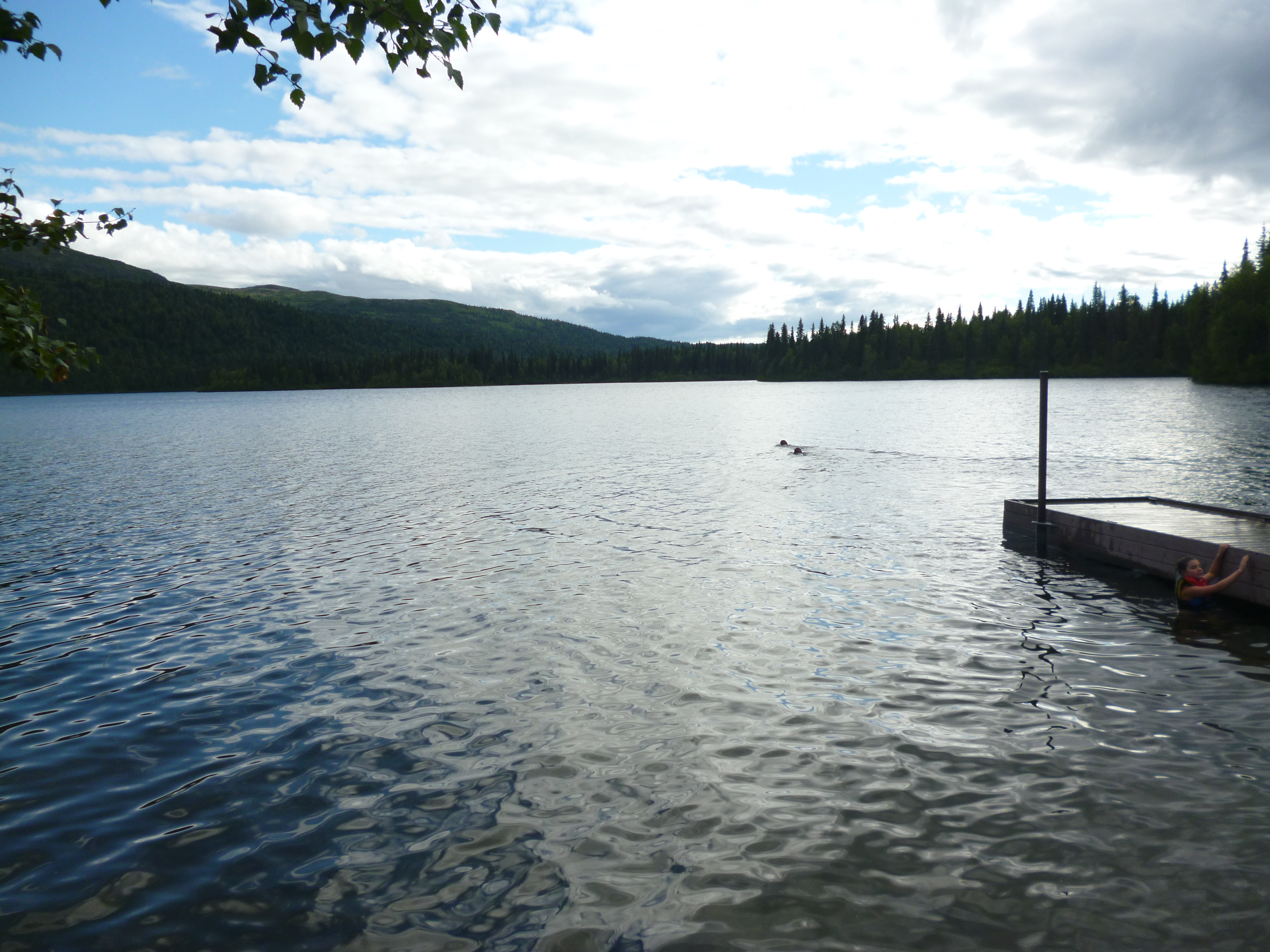
We stopped at the Alaska Maritime Wildlife Refuge, located at the base of the spit, for a nice ranger-led hike along the tidewater marsh. It was kind of funny that one of the big draws for the hike was the chance to see 2 sandhill cranes. It made both Pam and I think of earlier this year when we saw several hundred together at their winter home in southeastern Arizona. The fireweed flower in the foreground is their season indicator. The flowers bloom from bottom to top and once they reach the top, like these, it means six weeks of good weather left.

P1050577

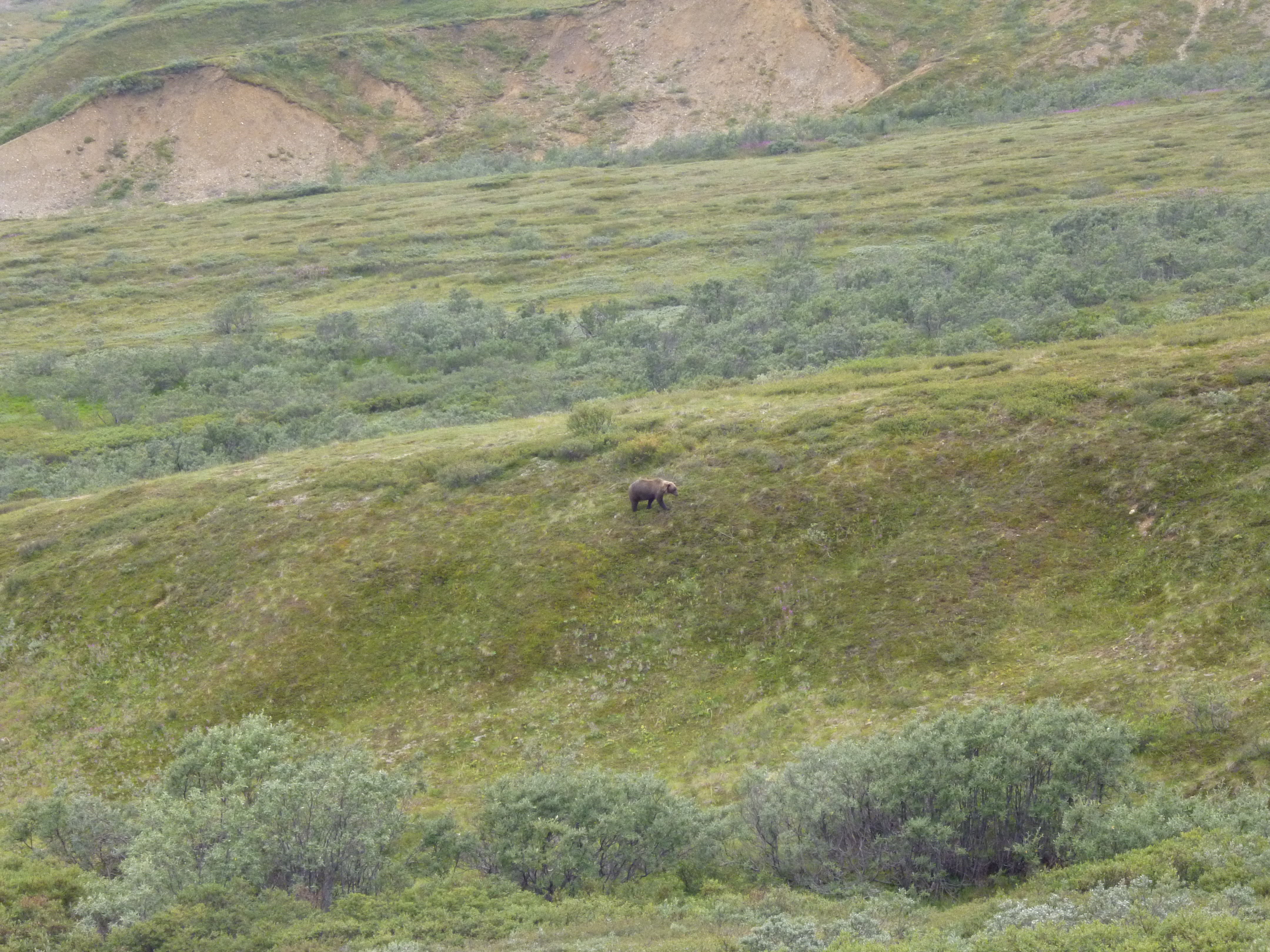
It was a great talk and led to discussing the bears that live and feed in the area. We’ve been somewhat amused by some of the bear warnings at the trailheads. There is the normal – make noise and don’t surprise the bear, and if it’s a brown bear stand your ground, talk calmly to the bear and play dead if it attacks. Too bad screaming like a little kid and running like a crazed person is not the recommended advice. The one warning that caught us both by surprise was at a recent trailhead – fight back if the bear begins to eat you. Really! So play dead first so the 1000 pound bear is now on top of you and then fight back once he begins to crush your bones. Better advice may be to carry a next-of-kin notification card because your day is probably not going to end well if it has gotten to that point.

The Homer Spit reminded us of many small, crowded vacation spots in the number of people and the shops along the main drag. The unique Homer Spit difference is the huge glacier-capped mountains that surround the spit.

20150808_191838

P1050583

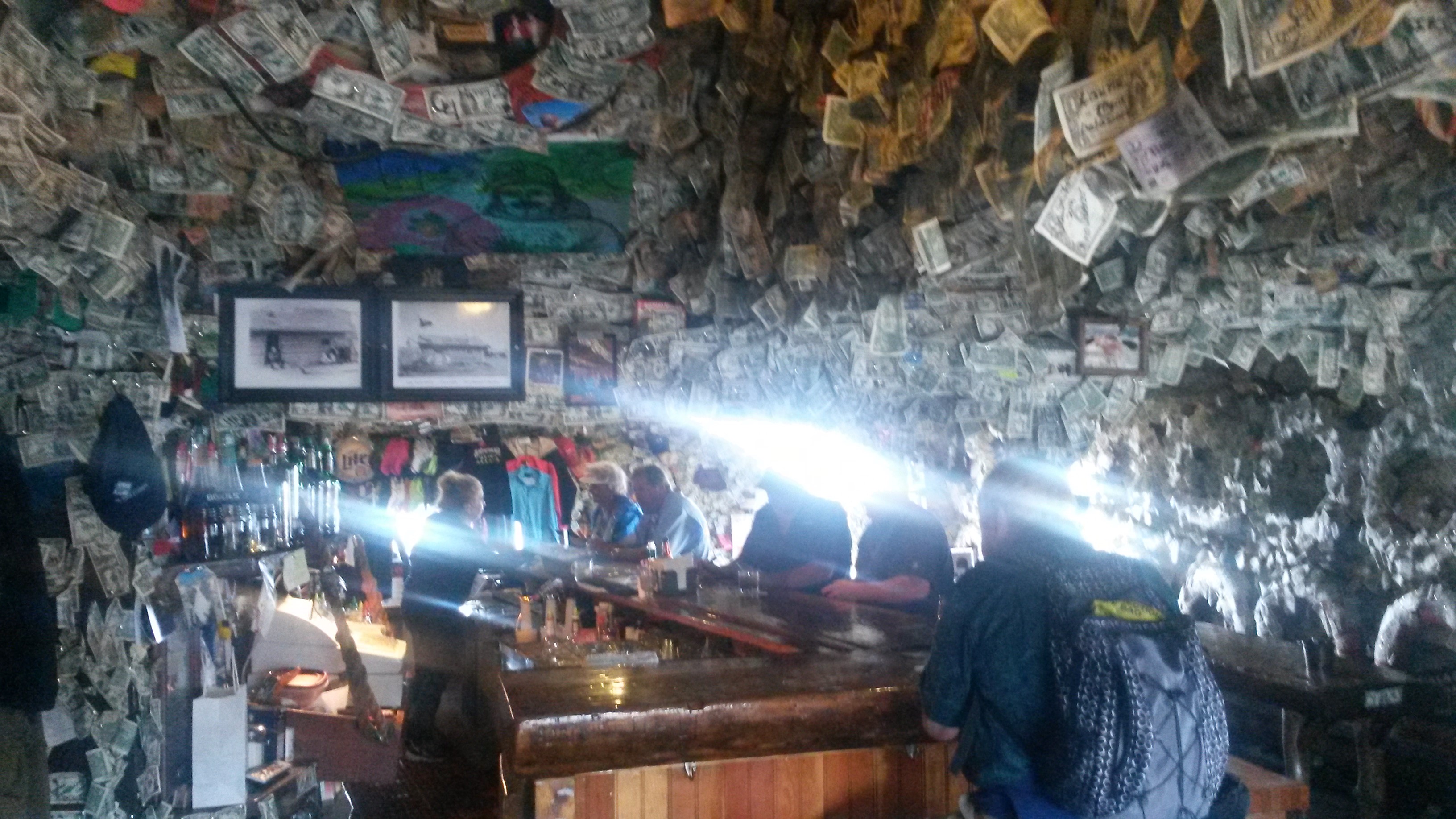
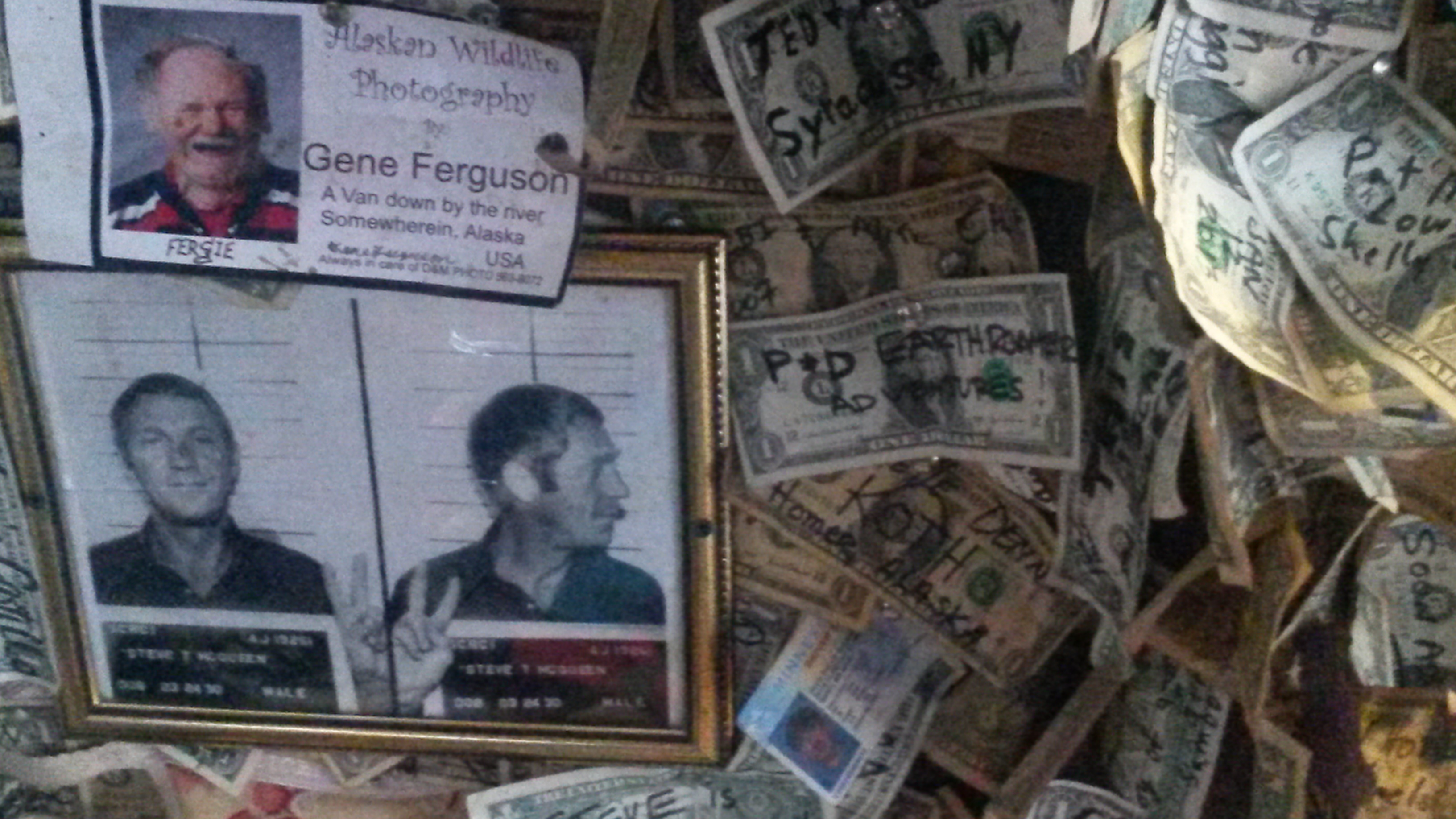
We camped at the end of the spit at the Homer Spit Campground. We walked along the beach and stopped in one of the boardwalk places for some great cod fish and chips. We also stopped in the Salty Dawg Saloon, which has signed dollar bills all over everything in the saloon.

20150808_142021

We added our “P&D Earthroamer Adventures” signed dollar next to the mug shots of Steve McQueen, and Gene Ferguson’s ID that has his address as “a van down by the river”.

20150808_143029

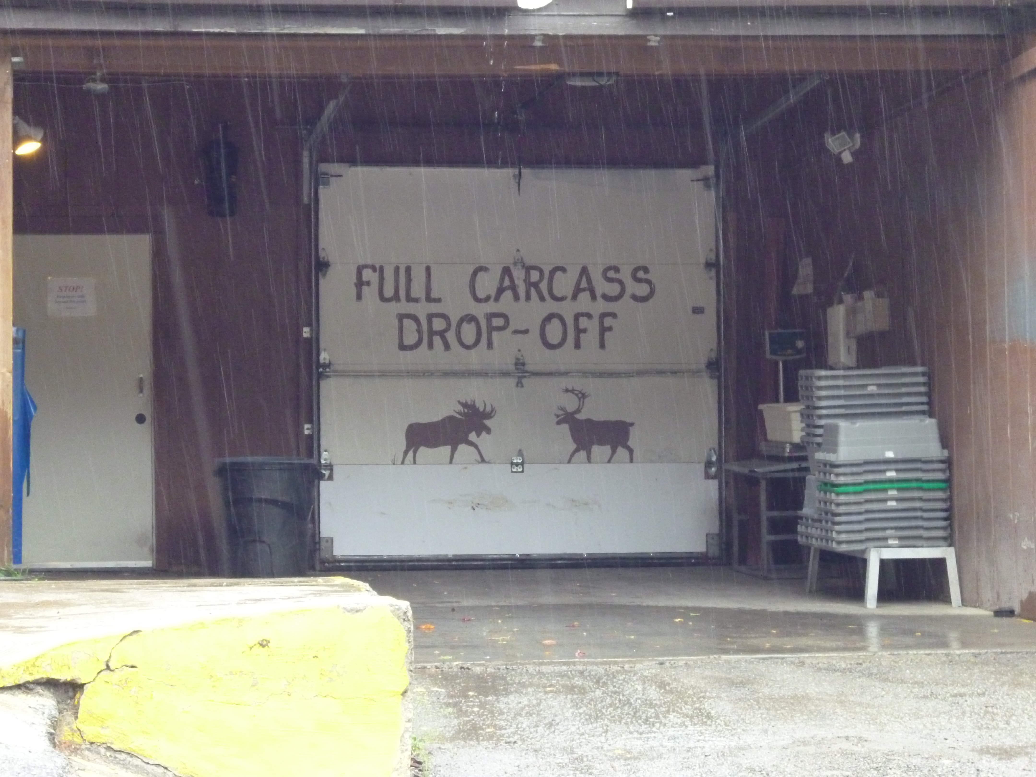
From Homer we made our way back to Anchorage, stopping at a local meat processing business on the way. We picked up some caribou and reindeer meat to better balance the quantity of fish in the freezer. Their customers, or suppliers, must also include many of the local hunters.

P1050589

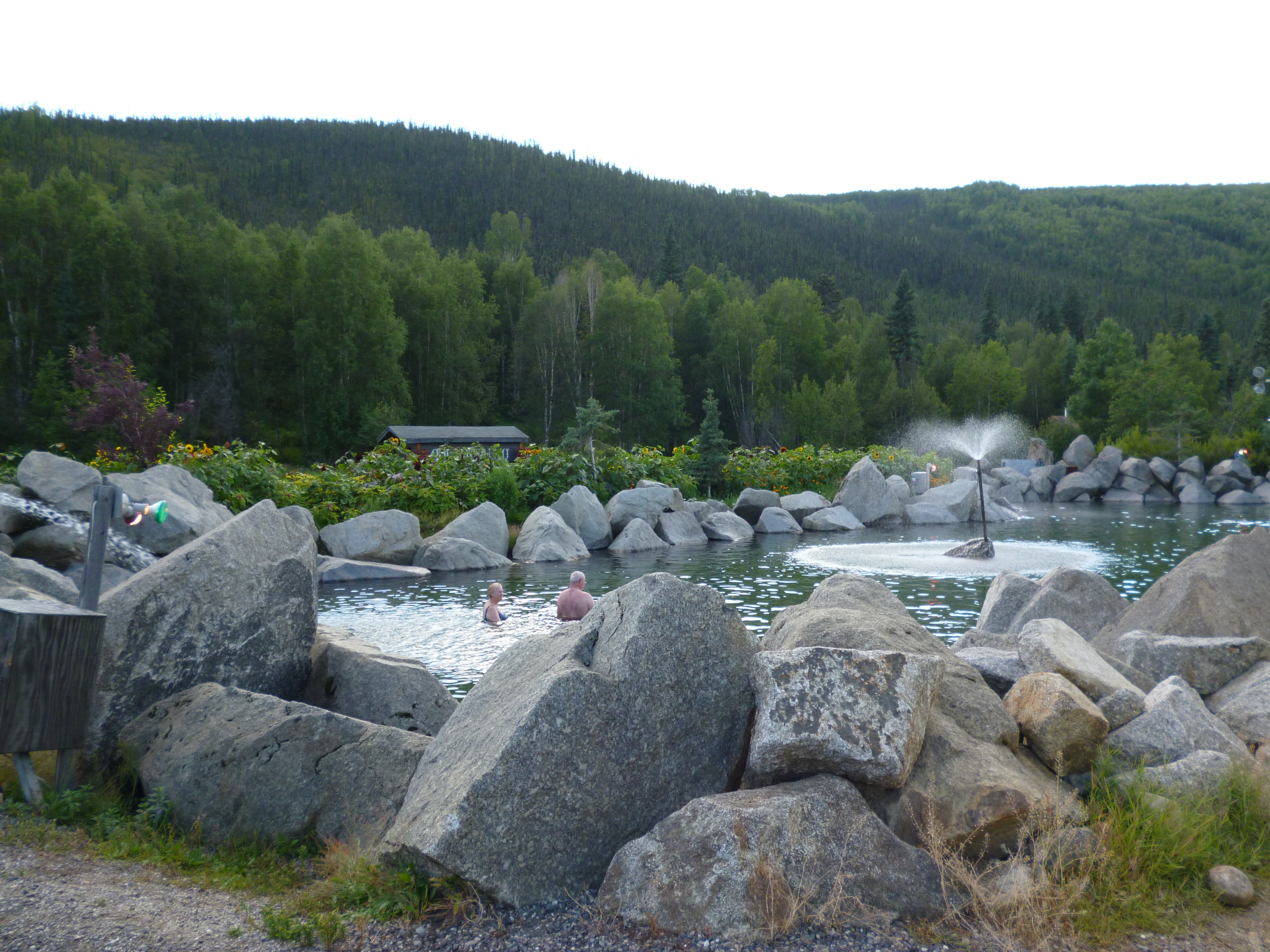
We also stopped into to Millennium Hotel, now renamed as The Lakefront Hotel. The place was decorated tastefully with just about every known mammal. We enjoyed an afternoon beverage as we looked over the boat-plane lake and airport of Anchorage.

P1050594

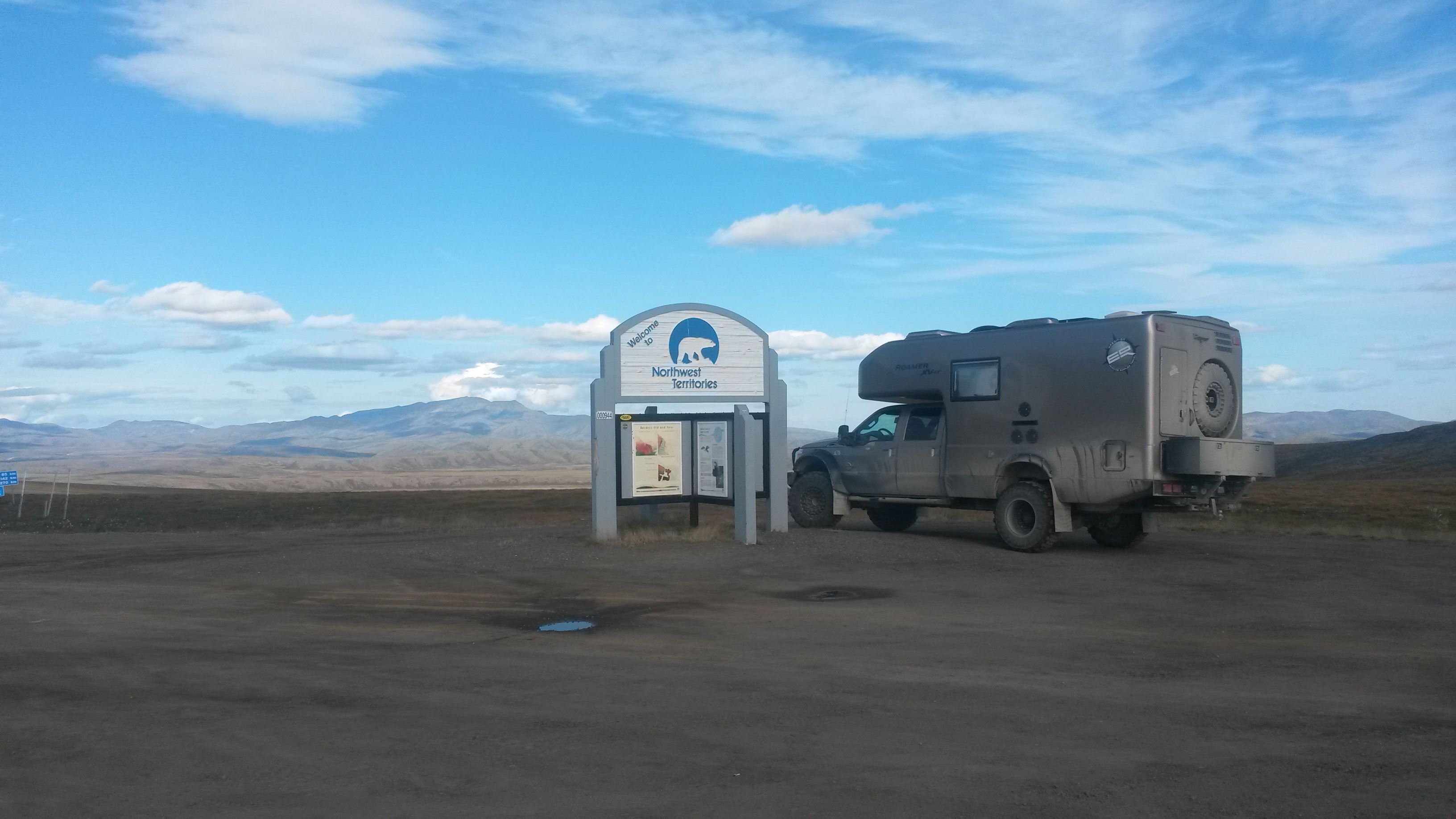
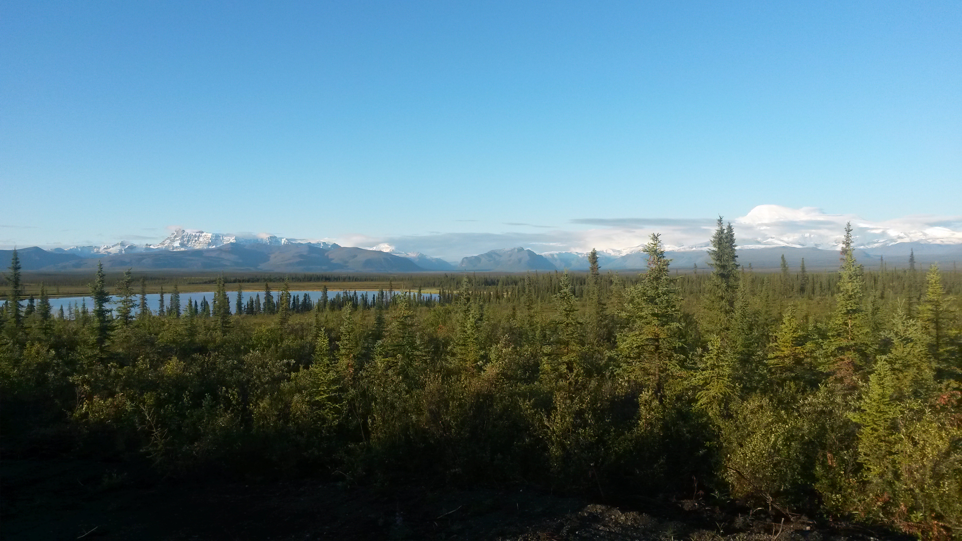
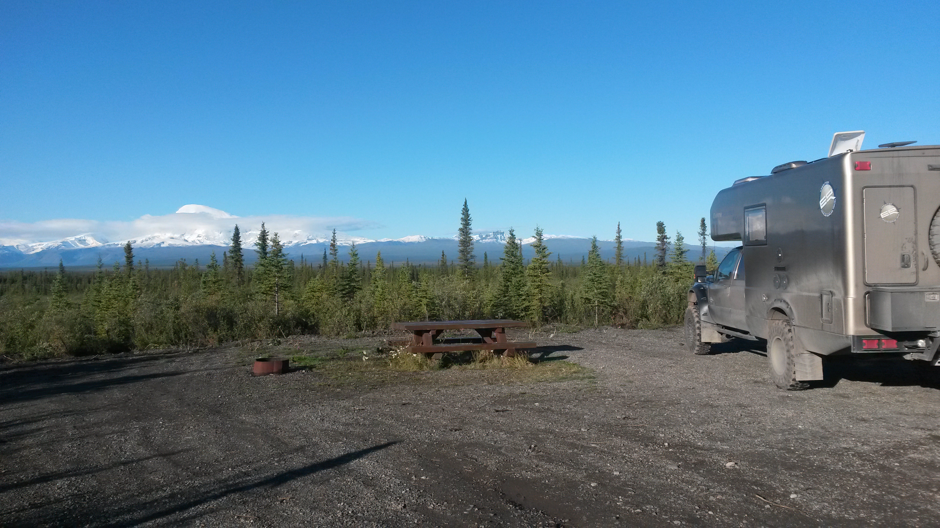
As with all great plans, they always become obsolete. Our boundary waters canoe trip with friends later this month was postponed until next year so we outlined a new route out of Alaska and down through Canada. We’ll now be heading towards northeastern Alaska and see what’s up there.

Southeastern Alaska

We left Denali and headed east across Alaska on the Denali Highway, another mostly dirt road. The beauty in the landscape here is just jaw dropping. Over every horizon is something even more beautiful.

P1050350

20150730_124147

We stopped for lunch along the highway, at one of the many pull-outs along these roads, with a gorgeous view of the surrounding area. Another camper was also stopped there for lunch. The mother and son were heading to a beautiful lake area up the road to spread the ashes of a recently deceased husband and dad. You could tell that they loved Alaska, but she admitted that this would probably be her last trip to Alaska after their many trips over the years. The son (my age) told me the story of dropping a 1000+ pound grizzly up along the Dalton Highway with what he described as the “two best arrows I ever shot”. Seeing that he is still alive to tell the tale would validate that claim.

P1050353

The trek to Wrangell-St Elias National Park was pretty long so we decided to camp along the way. We tried to get a spot at a nice little campground with a waterfall but it was full.

P1050361

We then did like so many folks up here in Alaska, we just pulled off the road on one of the many places to park along the road and camped there for the night along a beautiful lake. Most of the folks with campers we talk with are from Alaska on vacation to the “local” beautiful spots. All of them love living up here, and we can see why.

P1050363

P1050365

The next day we completed the drive into Wrangell-St Elias NP along the McCarthy Road, a pretty rough dirt road. This runs through the Copper River valley, famous for their salmon. The salmon were beginning their run so there were huge salmon wheels in the water and many folks camped along the banks attempting to stock up for the year.

20150731_091609

The road to the park was the old railroad track route from the abandoned Kennecott copper mine. Most of the bridges, single lane only, were still in place but now modified to handle car traffic. Wrangell-St. Elias NP is the largest national park in the US at 13 million arces, about ½ the land mass of Pennsylvania.

P1050368

We camped at the end of the road, next to the river created by the Root Glacier. In this area of Alaska every direction you look has a huge, beautiful glacier riding down the face of a mountain. Excursion groups were also there camped in their tents. We’ll stick with the Roamer and our toasty fire.

P1050371

P1050399

The Kennecott copper mine, which is part of the NP now, had some of the purest copper ore ever discovered, which is why they decided to mine in such a harsh place all year long. The mines were up in the hills and the ore was processed in the buildings using several different methods until they achieved a 98% copper ore quality before shipping it south by train and boat to Washington.

P1050394

The best part of the park for us was the trail to the Root Glacier and the ability to walk up on the glacier. It’s not an easy hike to get there, and bear scat marks the trail for most of the way to keep you on your toes, but it’s worth it.

P1050386

P1050390

20150731_144701

On the way back to our camp we stopped in the little town of McCarthy, which is an area of private land near the old mine surrounded by the park. The Saloon closes in mid-September, along with much of the town. They have a “last man standing” party to finish off all of the beer that won’t keep until the saloon re-opens in the spring.

P1050398

We met a San Francisco couple at the bar where he helps runs a camp at Burning Man – The 7 Deadly Gins. As he explained the workings of the event a few other folks said they had been at his camp in years past. Wow, this is a bar in a town of less than 200 folks in the middle of nowhere and several random people in this bar had been to his Burning Man camp – what are the odds? Pam now wants to go to Burning Man next August – lol.

We left Wrangell-St. Elias NP and headed on our way to Valdez, where this is the one lane entrance and exit to the McCarthy Road at Chitina.

20150801_112114

Along the road back we stopped at a Yak farm – had to stop since they have been the topic of some great one-liners since the yak steak post. They were just out grazing in the field similar to cows. We also saw a lynx cross the road in from of us along the way. It was a big cat.

20150801_114900

There was a 1950’s era Chevy flower pot. I guess when your truck dies in the back country if you are not going to tow it several hundred miles to get rid of it you might as well add it to the decor.

20150730_183844

Valdez was a quaint little fishing village surrounded by beautiful mountains. It does not get nearly as cold as northern Alaska, and the snowfall can reach 600 inches in the nearby passes in winter. We camped at the Bear Paw RV lot right in downtown Valdez, across from the dock. Valdez is the most northern port that does not freeze in the winter, which is why the end of the pipeline is here (on the other side of the bay from the city) to ship the oil out.

P1050416

20150802_071350

We walked around town and noticed that there were a lot of pet rabbits running around, kind of like the chickens in Hawaii. We never got the story on how this came to be, but there must not be many eagles or loose dogs in the area – yet.

20150802_071857

We had our first truck maintenance issue for the trip. The metal mounting bracket for one of our front spot lights cracked and the light was just resting on the bumper against the grill. Luckily the RV place knew the local welder, who has a portable rig. He came over and welded it back on, where now it is probably better than it was.

P1050419

After the fix, we packed up and headed towards Anchorage. We ended up stopping for the night at the campground at Lake Louise (every state must have a Lake Louise). It was a beautiful spot and we got there just before sunset. We walked along the shore of the lake as the moon came up and saw a couple of muskrats in the water, which was easy to do since the lake was glass smooth. It’s getting noticeably darker at night now, not quite dark enough to see stars, but we may get a chance to see the northern lights before we leave Alaska. What was interesting was when the moon came up it was not 180 degrees opposite in the sky from the sun as we normally see it, but appeared more like 120 degrees away. This could be due to the latitude or the phase of the moon, but you felt like you were looking at the side of the moon as it chased the sun.

20150802_202524

P1050423

The drive to Anchorage the next day was again very beautiful, with many glaciers, lakes, river valleys and interesting mountains along the way.

20150803_104403

20150802_183649

20150803_114405

We stopped at a muskoxen farm in Palmer, just north of Anchorage. While the muskoxen are wild animals they raise these for their qiviut, or wool that they comb out of their winter coats. The muskoxen are related to the goat family and the males run about 900 pounds, the size of a small cow. The qiviut is given to local knitting guilds and the native ladies create throws and scarves with a pattern that is unique to their guild.

P1050430

P1050439

We spent a night in Anchorage before setting out south to the Kenai Peninsula. The city campground was less of a campground for enjoyment as a campground of necessity for some folks looking to make a future in Anchorage. The tent clusters and rope supports for everything did not appear to be the work of folks staying less than 14 days.

Anchorage itself was good because we got many errands completed and restocked for the next week or so. We also had a delicious salmon dinner at Pam’s cousin Alex’s house, who lives in Anchorage. He and his wife, Marcie, had us over for dinner and we chatted the night away. Hopefully I can make good on my offer to bring back some halibut from a successful fishing day down on the peninsula.

Denali

We headed south from Fairbanks to Denali on a nice rainy day. The two hour drive was mostly in thick fog and rain, but very relaxing. We stopped in the small town of Nenana, which is about the halfway point along the Park Highway to Denali. It is strategically situated at the confluence of the Tanana, Nenana, Yukon and Chena Rivers with barge operations from a train depot that runs from Seward to Fairbanks on the Alaskan Railroad. The visitor center was a great source of information.

P1050217

This small town was the logistic launching point for a few of the gold rushes into the interior of Alaska, where most of the goods arrived by train and were then transported along the rivers to their final destination. A train came through as we were visiting the train depot museum.

P1050224

Nenana has the Ice Classic, where folks have been guessing since 1917 when the winter ice on the Tanana River breaks and begins to flow. They mount a huge tripod into the ice in the middle of the river and connect a cable from it to a tower that records the official time, down to the month, day, hour and second, once the tripod moves 100 feet from the tower. It’s a huge deal and they publish the names and time entries in a book for every year that is at least 2 inches thick in very small print. The winner gets the lottery prize money, which in 2015 was $330,330. We bought two $2.50 tickets for the 2016 Ice Classic as part of our retirement investment plan – lol.

P1050226

Given the river history of the town, they also have the 800 mile river race in some pretty fast, very low draft boats that are averaging nearly 40 mph for the entire run. We didn’t see all the rules, but alcohol ballast must have been one of them.

P1050228

Before entering Denali National Park we happened to pass the 49th State Brewery and stopped in for a sample of their beers and a bite to eat. The place was very interesting and their beers were pretty tasty.

P1050348

Denali National Park is roughly the size of Massachusetts, but it has only one road and the general public can only travel to mile 15 of the 92.5 miles along the road. There is a ranger station at mile 15 that enforces the travel restrictions.

P1050324

You have to take a park shuttle to go further into the park, and they run very regularly. After visiting Yellowstone and Yosemite, I think Denali has the right idea. The interior of the park is just for bikers, backpackers and those going on one of the many shuttle bus excursions. The restriction is on all motorized vehicles: cars, motorcycles and even snowmobiles in the winter. The beauty of the park is incredible, and the lack of cars makes the wilderness experience much better than at any other National Park we’ve been to yet.

P1050300

P1050267

P1050302

Since this was our first time to the park, we camped at the Savage Creek campground at mile 12 along the road. This is the furthest campground into the park you can drive into and still have the freedom to drive in and out. There are campgrounds beyond mile 15, but once you are there you have to stay there your entire duration, using the park shuttles as the only mode of transport. A few campsites further in can only be accessed by shuttle buses. I guess that would rule out the Roamer. Now that we know what to expect, we may use the shuttles next time, but we didn’t know so we did the Savage Creek option this time.
P1050236

The rain from Fairbanks down to Denali had nearly stopped by the time we arrived but the fog and clouds around the campground were awesome. We did a nice hike along the creek near the campsite, where they had boards telling the history of the first 1917 park camp at the same site along the walk.

P1050237

20150728_053244

We signed up for an 11-hour bus tour to the end of the road and back to see as much of the park as we could for this first time. The forecast was for rain all day. It drizzled in the morning but the clouds began to break when we reached the end of the road, and it was sunny on our way back.

P1050305

P1050250

P1050270

The cool, moist morning weather meant that all of the animals were out. We saw many moose, grizzlies, Dall sheep and caribou during our trip. The park was originally set up to protect the Dall sheep because mining hunters were killing them by the thousands to feed the miners and to force the price up by killing more than required. We saw about 20 sheep dotting the steep rock cliffs way up in the mountains along the route. The tundra ground is covered in berries and the bears were just hoover-ing up as much as they could to pack on the winter weight. We ate a few blueberries on our hikes and they are almost ripe, but I guess the bears aren’t too picky.

P1050306

P1050294

This caribou, with an awesome rack, walked right past our bus.

P1050301

We didn’t get to see Mt McKinley because of the clouds, but a picture board below the actual landscape at one of the stops showed what it would have looked like. At 20,320 feet, the mountain would be hard to miss.

P1050283

Mining operations at the end of the road were shut down in the 1980s, but a few claims are still held privately, with a grass runway back there to help service the folks who live back there still.

P1050271

We found out during our tour that this year had an unusual late freeze in mid June that killed nearly all of the mosquito population. It would explain why we have never had a problem sitting outside in the evenings. It’s the best it’s ever been the locals say.

Most of the folks who first visited the park came by train. Given the restrictions on cars, maybe our next visit will be by train from Seward and then camp at one of the more interior camps.

P1050328

The next day began sunny so we started the day with reindeer breakfast sausage and eggs. The sausage had a hint of sage and were really good. Between yak and reindeer I think both of us would pick the reindeer – very tasty.

P1050315

We then headed to a trailhead to hike a stretch of the Savage River. The hike was beautiful.

P1050321

P1050320

P1050325

Everything at the park is given that frontier look. Even the outhouses have grass roofs.

P1050326

On our way back we saw our first bull moose in the field eating willows. He was about 100 yards out and his rack was huge. We sat there in our car with another shuttle bus for some time. However, another car pulled up and the folks got out. The moose instantly took notice, stopped eating and locked onto them. The park tries really hard to keep the animals wild by preventing them from associating people with food, or in the case of the grizzlies, as food. As we pulled away a ranger was approaching and I’m sure he made them get back into their car.

20150729_114246

The park has their own sled dogs that help to patrol the park in the wintertime. We went to the doggie demo to learn more about the dogs and the rangers that utilize the dogs in the winter. The dogs cover over 3000 miles in the winter, and seeing the park, it’s definitely the way to go – by sled dog. The Alaskan huskies are a working dog where the sleds are packed with supplies of 50 to 100 pounds per dog to pull through the snow. Their coats are said to be ideal for -10 degrees. They were looking a little relaxed when we arrived.

P1050337

They did a sled demo with five of the dogs. All of the dogs were howling to be one of the five picked to pull the sled.

P1050345

They cover 25 miles a day and ranger cabins are spaced that far apart through the park so that they can patrol the area all winter long.
Maybe we’ll get to see the mountain peak during our time in Alaska, maybe not. Either way Denali is a great park that we’ll be back to visit again. Like the film at the visitor center explained about climbing Denali, because of the altitude (no oxygen bottles allowed), weather and route conditions, relative to all of the other great mountains, including Everest, Denali should be considered a final exam and not a starting point for beginners.

20150728_142122

We’re off to Wrangell-St Elias NP now to see some more glaciers. It’s mostly dirt roads from here so it should be fun.

Arctic Circle

Before heading north to explore the Dalton Highway and the Arctic Circle, we spent a couple of days exploring Fairbanks. One of the things you don’t normally see further south are the electrical plug outlets in the parking lots so that folks can keep their car engines warm in the sub-zero winters.

P1050118

We checked out the UAF (University of Alaska Fairbanks) museum. They had the things you would expect like whale and dinosaur skeletons.

P1050126

What was an interesting exhibit was the “Vogel – 50 for 50” exhibit. Herb and Dorothy Vogel were New York City residents since the 60s, he a postal worker and she a librarian. Over the decades they amassed one of the largest private collections of art, all from aspiring artists in NYC over all those years, jammed into their little NYC apartment. They turned over their priceless collection to the National Gallery of Arts and 50 pieces of their collection were sent to a gallery in each of the 50 states. Due to their very limited income they were pretty innovative on their acquisitions, for example trading cat sitting for a piece from one artist, or collecting the working sketch instead of the final piece.

P1050121

In another gallery we came across a 1985 version of the American Gothic. The picture seemed kind of fitting for our current RV lifestyle. Our Roamer needs a bigger dish – lol.

P1050132

We then headed north out of Fairbanks to the Dalton Highway, which was constructed to support the building of the Alaskan Pipe Line all the way up to the Arctic Ocean. The road is notorious for being tough on vehicles, but is still well traveled by big trucks hauling supplies north and south, so it is relatively well maintained. Once again the gravel sections were much more enjoyable to drive on.

20150724_125459

We did not travel the 498 miles from Fairbanks to Prudhoe Bay, but we did go 2/3rds of the way to Atigun Pass on the Alaskan Continental Divide in the Brooks Range. Our furthest point north was 129 miles north of the Arctic Circle.

There are very few inhabited places once you get north of Fairbanks, so we stopped at most of them to check them out. One was the Arctic Circle Trading Post that had a collection of Police Insignia sent to them from all over tacked to their beams. They also had a great sticker that said, “There is not a single mosquito in this town, they are all married and have many children”. However, relative to the mosquitoes, we sat out in the evenings at both campsites for hours and mosquitoes were never a problem. It must be an OFF year – lol.

P1050145

We also stopped at the Yukon River bridge crossing, where the bridge road surface was made of wood planks. Given the trucks, and the loads they pull on this road, the surface must have been very thick wood planks. The pipeline runs under the bridge so you can drive under the pipe here. It’s huge, about 6-foot in diameter, and has been sending oil 800 miles from the Arctic Ocean to the southern Alaska coast since 1977. It really is an engineering marvel.

20150724_140744

20150724_140904

P1050149

There must still be a few fires in western Alaska that created a hazy horizon as we moved north, but the area was still beautiful. It was smoky from just north of Fairbanks to just below the Arctic Circle on the way up.

P1050158

We also stopped at the Hotspot Cafe for a nice vanilla ice cream shake. With the sun beating on you for 20+ hours a day in the dry air, a shake hit the spot.

20150724_150907

We hit the Arctic Circle latitude, 66 degrees and 33 minutes north for our first night’s camp. There was free camping there and the spots were a nice change to those in Fairbanks. It’s amazing to think that when you are on the Arctic Circle you are still as far away from the North Pole as you are from the California – Oregon border. Wow, the North Pole is way, way up there.

20150724_171011

P1050167

The Arctic Circle area was not what I expected. Somehow I figured once we got to the Arctic Circle a huge herd of caribou would be wandering over the wide tundra under the watchful eyes of the local Eskimos. It was still boreal forest with the black spruce and many other trees, and more mountainous than I imagined.

We stopped in Wiseman, a small town of about 30 folks with a trading post and mining museum. We chatted with a couple of the locals on the town, where it was obvious that everyone knew exactly what each was doing most of the time.

P1050180

P1050181

The Dalton Highway did have some really nice paved sections to the road around Coldfoot, the town that has the Arctic Interagency Visitor Center. They had a great video on the making of the Alaska Pipe Line in the late 1970s.

20150725_101450

However, most of the road is gravel or packed dirt, with graders fixing sections all along the way while trucks blow by at 50 mph regardless of the road condition.

20150725_094903

The scenery gets incredibly beautiful as you approach the Brooks Range, the northern most mountain range in Alaska.

20150725_113822

The road also gets interesting with 10% and 12% grades for miles through the passes. This was the climb to the Chandalar Shelf where the tundra actually does begins.

20150725_124634

The tundra area was beautiful.

P1050189

This was the 12% climb to the Atigun Pass.

20150725_130353

The mountains that surround the area were just stunning.

P1050192

P1050195

We turned at that point and headed south again to Coldfoot. We’ll save the Sag River and the plateau into Prudhoe Bay for another trip. We camped at the Marion Creek Campground. We had yak steaks and lobster ravioli for dinner with a few Alaskan beers. Nobody said camping food couldn’t be awesome. The sun may go just below the horizon at this latitude now, but the light is similar to a cloud passing overhead. It’s nowhere near dark. Our solar panels were generating a charge 24 hours a day.

P1050204

On the way back south we spotted this mother moose and her two babies in the pond.

P1050207

We also saw two bears, one just sitting in the tundra not far from the road. This bear was in the 1000 pound category and made us wonder what a bicyclist would do at that point. I guess use your available food supplies like chaff as you pedal by and hope it loses interest in spandex – lol.

We also stopped at the Yukon River Camp for lunch. Pam had a salmon burger, I had salmon tacos and we both had the salmon soup, all very good choices.

We hit the smoke again at the Arctic Circle and all the way south of the Yukon River. It was kind of spooky driving into the smoke, but given that traffic was moving in both directions, we felt pretty good about continuing south.

20150726_110533

Rain started to fall, clearing the smoke out of the air and making the dirt road a blast to drive on in 4 wheel drive, humming at 50 mph through the forest. We got to the end of the highway and stopped for a photo of the rig covered with road grime.

P1050210

The mud was nearly welded on and reluctantly came off with a high pressure wash hose at the campground back in Fairbanks.

On the way back into town we hit the Silver Gulch brewery for a taste and a bite. They have a lot of choices in their flight and the Alaskan hushpuppies made with halibut were really good.

P1050211

Got a camp spot right next to the river tonight in Fairbanks and we’re heading for Denali tomorrow for a few days.

P1050215

Road to Fairbanks

We boarded our last ship for this trip out of Juneau heading for Haines. The sky was the clearest we had seen in days and even though we had already made this trip once before during our initial route, we were able to see the beauty of the mountains that we missed on the previous day in the rain.

P1050003

There were glaciers all along the way to Haines.

P1040999

Notice the fishing boat in the water to get an idea of the size of the mountains that enclose the channel up to Haines.

P1050005

So our island hopping, ferry-riding segment of our trip came to an end. The Alaskan Marine Highway system is a public transportation system that serves an important role of moving people and cargo along the highway. If you are looking to get to all of the islands and have the ability to relax and deal with the delays that will occur, then this is a great way to go. The crew are a friendly bunch of folks and know what they are doing. On every vessel we traveled was at least one plaque where the crew and vessel had come to the aid of another vessel along the waterways, saving the lives of the persons aboard a distressed vessel. The system may not have the punctuality of a railroad, but you will arrive safe and sound while passing through some of the most beautiful landscape in the world.

P1050006

We took off from Haines heading north. You have to pass through Canada to get to the central part of Alaska due to the mountains and glaciers that block any direct route that would allow you to remain in Alaska the entire way. The route was along the Haines Highway, a bypass created in the 1940s to establish a sea-based, land supply link to the Alaska Highway for Alaska during WWII. The road passes through British Columbia and the Yukon before re-entering Alaska. The scenery along this route is just breath taking.

P1050009

P1050014

We camped the first night at Kluane Lake at the Cottonwood Campground. Our spot was right on the lake. The lake had some of the glacial flour in the water to give the lake a vibrant shade of blue.

P1050027

We saw a juvenile grizzly bear in the brush about 20 feet from the Roamer when we entered the campground. It was only about the size of a full grown black bear and quickly dashed off when it noticed us, probably back up into the hills behind the campground.

P1050028

The next day we traveled across the Yukon and saw some of the local attractions, like the world’s largest gold pan. I want to see the gold nuggets that came out of that pan! The museum there also had an amazing collection of mounted animals. The original owner was a naturalist, and obviously a good hunter too.

P1050031

We hit the Alaska Highway at Haines Junction and headed towards the US border. The Alaska Highway is not that bad of a road. Maybe in the past it was, but since we have been traveling mostly back roads, we’ve been on much worse roads in the lower 48 than this. It is part paved and part gravel, where the gravel sections are actually the nicer sections of road to drive on.

20150720_112838

The paved sections have pot holes and uneven sections that are marked with flags to alert drivers. The road is a very passable road when traveling at the posted speed limits. Our vehicle did pick up a layer of road grime that luckily was nearly the same color. Other vehicles with lower suspensions and no mud flaps were just covered.

P1050045

We hit the Alaskan-Canadian border along the 141th meridian. A gap was cut through the forest along the border.

P1050048

Both border crossings were a breeze. Just inside Alaska, and covering about 1000 square miles, is the Tetlin National Wildlife Refuge, noted as an important migratory corridor for many animals and birds. The marshy area is forested by black spruce, which is a very odd looking tree. A tree with a 2 inch diameter trunk can be over 100 years old. This area has the record cold for Alaska at somewhere around -80 degrees, definitely long sleeve weather. The ranger, a native that grew up in the area, said they typically have 160 days below freezing.

P1050051

We did a couple of hikes in the area where the path was along boards to keep you from sinking into the peat moss soil. The ground was like a moss covered sponge, which when it thaws causes everything to move, including the roads. We saw a few beaver lodges, but no beavers.

P1050055

P1050056

The second hike had an interpretive trail that explained the many edible berries and plants along the way, which amazing enough was a lot. After they explain what is edible you realize there is food everywhere there. Even though it is late July, it’s still early spring here in the growing season and many of the berries do not ripen until late August, after the first frost.

P1050061

We camped the night at Deadman’s Lake campground within the NWR. There were forest fires in the area but the recent rains have put them all out. Hopefully that will hold true for the remainder of the trip.

P1050065

As we continued towards Fairbanks we spotted our first moose in the wild, a mom and baby along the side of the road. Similar to Sequoia with our bears, we then saw five moose that day during the drive, either along the road or standing in the ponds next to the highway.

P1050070

The vistas along the drive are just amazing. Pictures can’t do it justice given the grandeur of the area, with the beautiful mountains ranges and the wide forested valleys.

P1050069

We haven’t seen any yaks or reindeer, but we did stop at one of the noted butchers along the route and picked up some yak steaks and reindeer breakfast sausages to try. Cooked the yak tenderloins up and they were good.

20150722_173545

We camped outside of Fairbanks at the Chena Hot Springs for a night. The thermal hot springs were great to soak in until we turned into raisins.

P1050079

They also had an ice museum there with two local ice carvers that create some pretty impressive works.

P1050102

P1050091

We took a hike in the morning around a beaver pond and came out next to the sled dog camp right at feeding time. They have a golf cart that they pull in the summer and obviously a sled once the snow comes to the area to train for the Iditarod.

P1050111

One of the hardest things to get used to being this far north is that it does not get dark at night. The sun goes down, but it’s still pretty light outside. A local told us it will be another month before it gets dark enough to see stars at night. So much for the idea of seeing the northern lights this trip – lol. It will be even worse when we get up to the arctic circle for our next stop.

We are in Fairbanks now for a couple of days to relax and explore. I gave the Roamer a bath, Pam did laundry and we’re just catching up on emails and things in general, while we explore the city. We checked out the local migratory bird area today, their summer location, at what used to be the local dairy with an awesome barn. Some of the birds, like the Peregrine falcon and the flycatcher fly from here all the way to South America for their migration.

P1050114

In our quest for natural beauty and good beer, Pam found another Scottish Ale from the Kenai River Brewing Company, located down towards Anchorage. We’ll have to stop in when we get there.

P1050117

I’ve been enjoying the Alaskan Brewing Co. Amber and Icy Bay IPA. We stopped into the brewery when we were in Juneau. Alaskan is a pretty innovative brewery, driven mostly out of necessity to stay competitive while operating from effectively an island with no natural beer resources: hops, malts, etc, other than crisp, clear water.

For those worried about my Weber, the replacement grill is being broken in nicely with the various meats and fish we’ve been enjoying. It may not be as rugged as the first (yet), but it will hopefully make the entire trip without the need for repairs.