Taos Area

We drove into Taos the next day and by way of another beautiful church, San Francisco de Asis Mission Church, one of the most photographed churches in the area.

IMG_20160514_090321888

We toured Kit Carson’s Taos home, a few of the many art galleries in the area and strolled through the Saturday farmer’s market in the square.

IMG_20160514_110923239

We then drove the Enchanted Loop through the mountains around Taos that passes by the ski resorts of NM, many with snow still visible on the peaks.

IMG_20160514_140257093_TOP

We camped for the night at Eagle Nest Lake State Park at the base of Wheeler Mountain, the largest mountain in NM at 13,159 feet and still covered with snow. The picture below was not of the peak because it was still covered in clouds and snow while we were there. The park itself was covered in Prairie dogs and we even saw a badger, at a safe distance, hunting them as we sat out in the evening.

IMG_20160514_175925215

The next day we drove back into Taos to join up with Lou and Nancy on their way to the Overland Expo show near Flagstaff, AZ. At one of the galleries we visited, the artist showed us a casita she had redone for guests to stay. It was the epitome of NM décor.

IMG_20160515_150018569

We camped in the Carson forest just outside of town and enjoyed the evening catching up and watching storms all around us until one came right over us, dropping a lot of hail and then providing a good lightning show that lit up the nighttime skies.

IMG_20160515_162956701

Albuquerque, He’s My Turkey ….

We headed north on the east side of the Manzanita Mountains until we hit old Route 66 and headed west into Albuquerque to visit with Sue and Alex. On the way we stopped at Petroglyph National Monument to see some of the ancient graffiti. The petroglyphs are separated into several sites, but I failed horribly at map reading and we wandered around the first site for some time until one of the nearby residents came into the desert and corrected my map orientation. He was a retired postal worker and we got a short history of the region as an added bonus. Once I read the map correctly, the petroglyphs were much easier to find.

IMG_20160512_131412678

IMG_20160512_135150498

The monument was created to protect these rock drawings from the encroachment of the Albuquerque suburbs, which extended from the cliff we were on to the foothills in the distance.

IMG_20160512_135822422

Sue and Alex were awesome hosts and even better tour guides. That night we had a wonderful southwestern dinner at a local restaurant, Cervantes, and watched a thought provoking Robert Redford directed movie, The Milagro Beanfield War, about the changes faced by many of the rural, mostly Mexican-heritage towns in northern NM by new development in these beautiful areas. Christopher Walken was the bad guy so “you know” it had to be good.

The next day they took us north past Santa Fe and to the small village of Chimayo. We visited several beautiful 200 year old churches in the area,

IMG_20160513_112752792

… including El Santuario de Chimayo. Nearly 300,000 people visit the site each year as part of their pilgrimage, similar to the Camino Way in Spain.

IMG_20160513_134848501

We had a fabulous southwestern lunch at the local and very highly rated restaurant, Rancho De Chimayo Restaurante that is located in an old 1880 home.

IMG_20160513_120339830

We then visited the small courtyard village, the Plaza Del Cerro, tucked in the hills…

IMG_20160513_141421266

and visited the local weavers making the beautiful southwestern rugs for export all over the world.

IMG_20160513_142332469

Sue and Alex headed back to Albuquerque, while Pam and I found a nice spot in the Carson National Forest nearby to camp for the night. It was nice to get away from the city again.

IMG_20160513_190342164

Central New Mexico

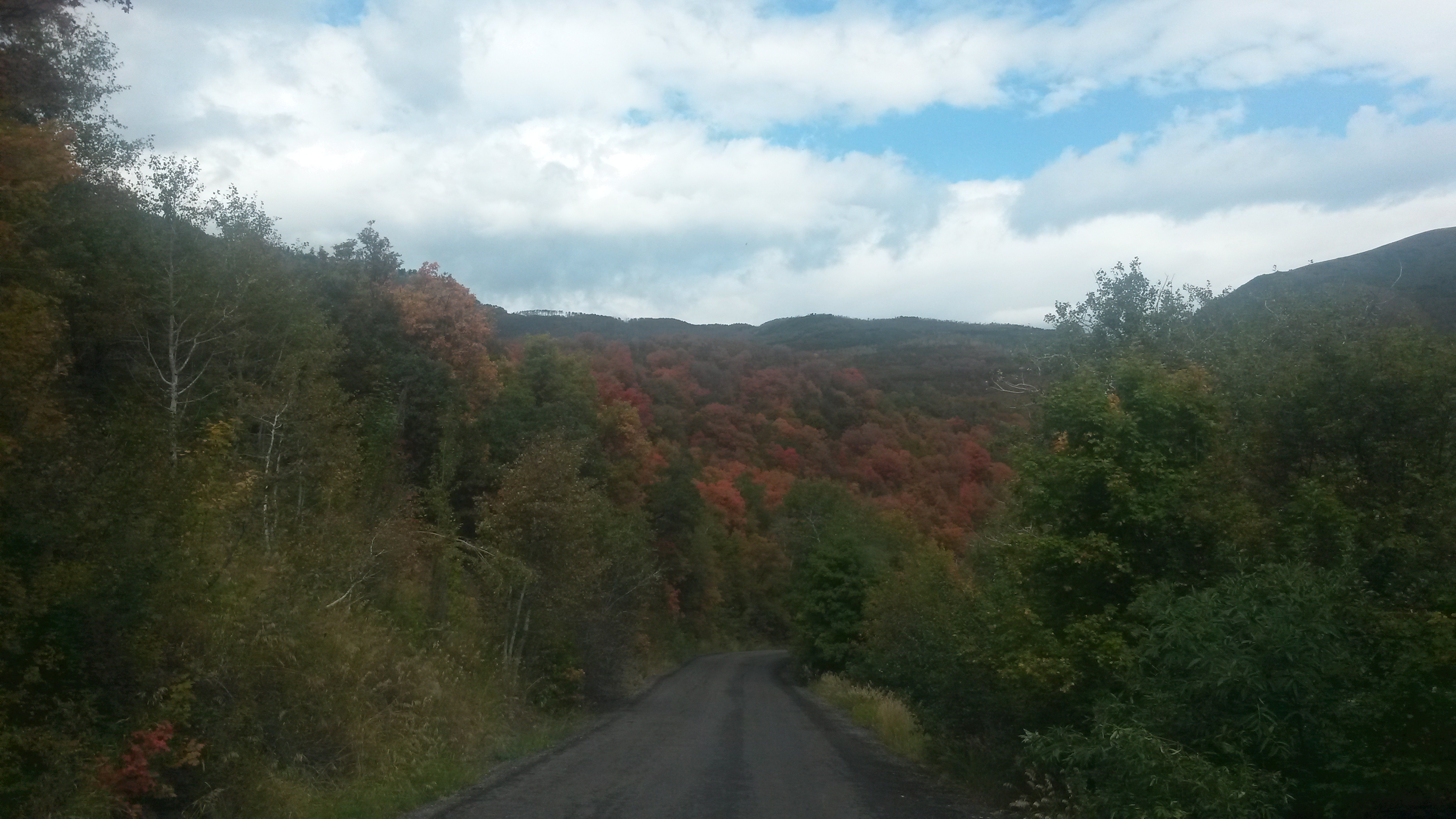
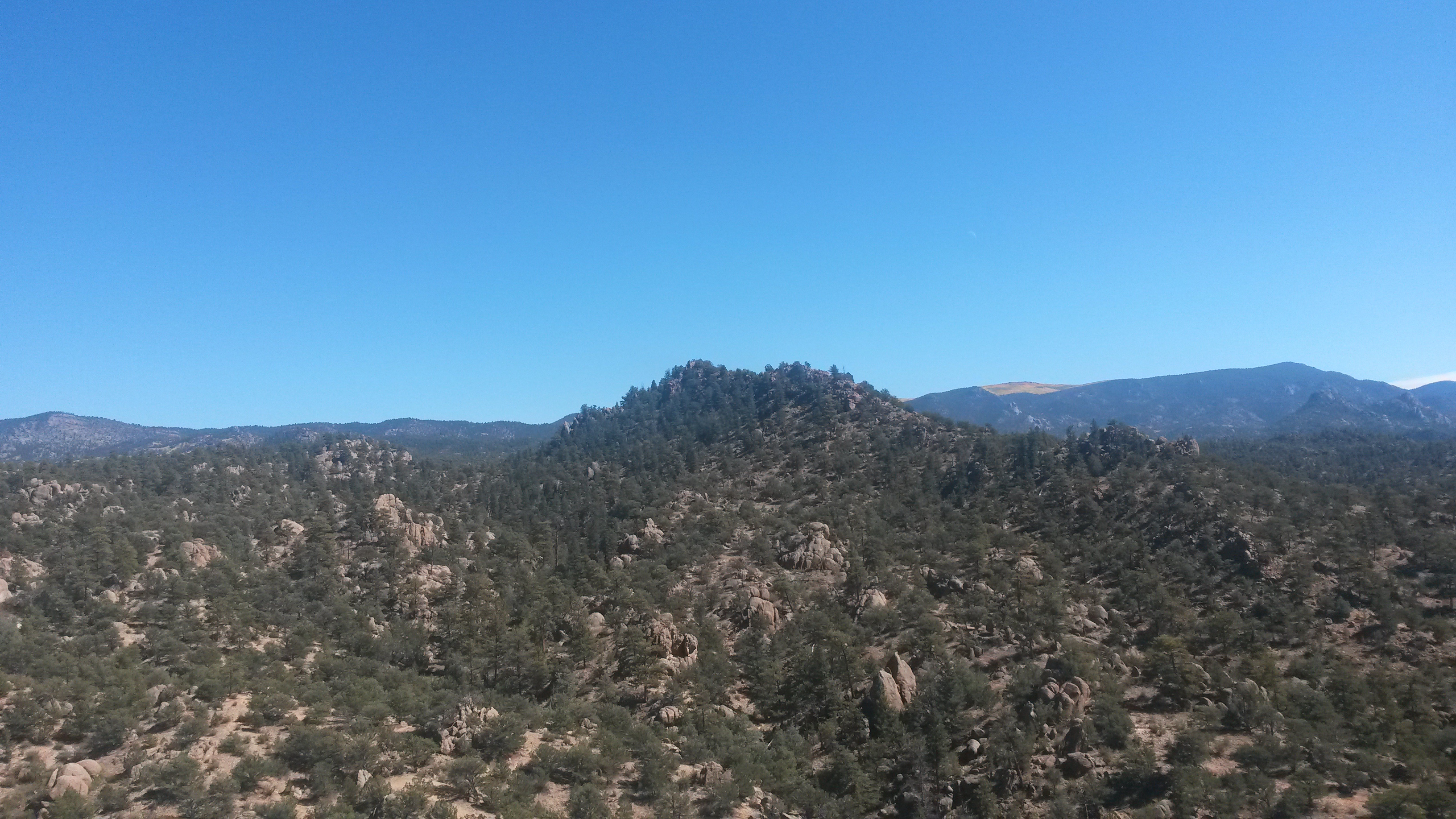
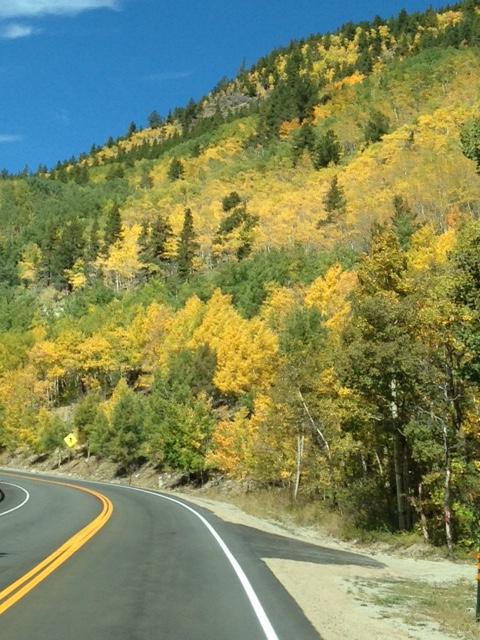
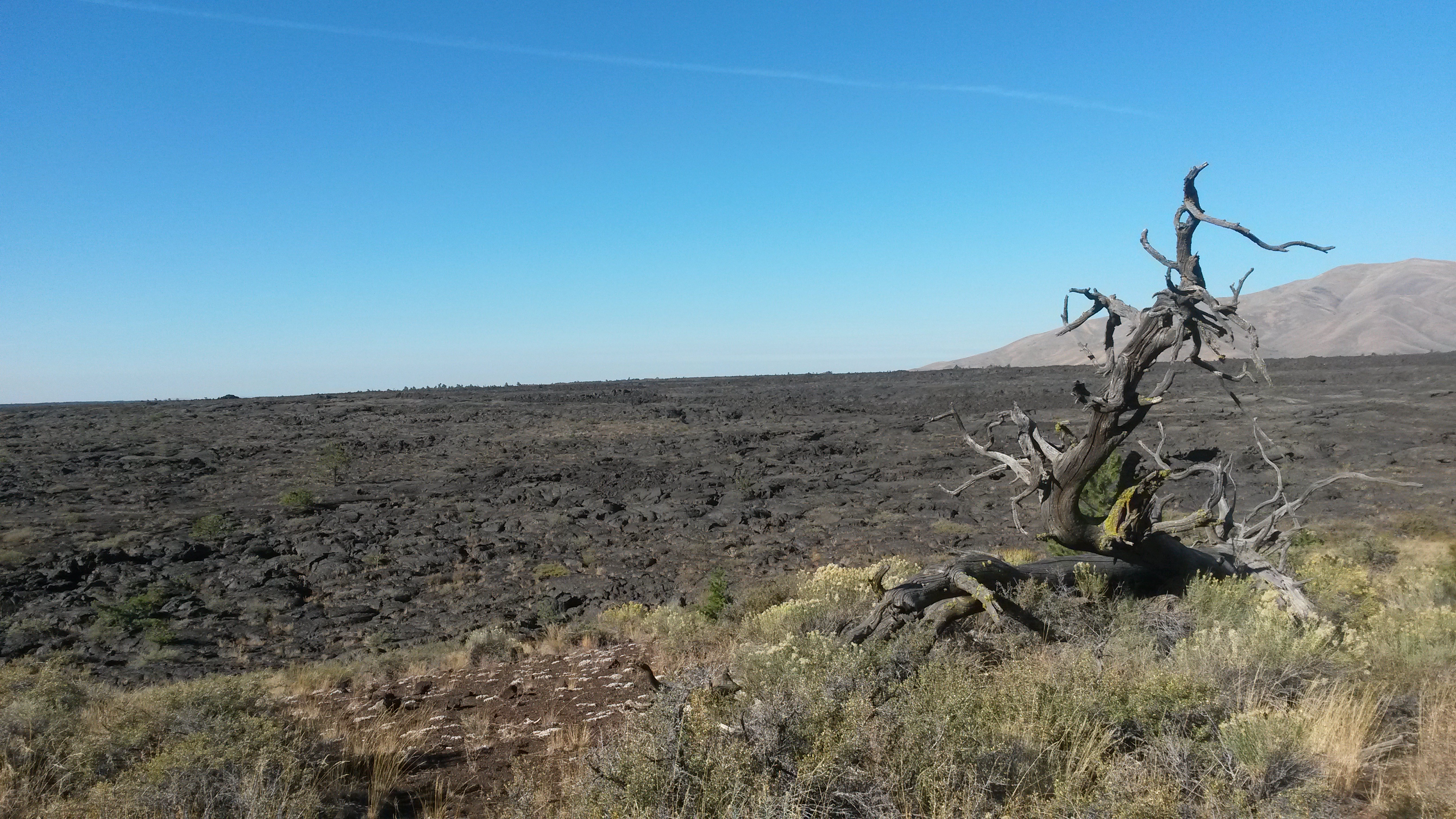
We dropped south out of the City of Rocks into Deming, NM and shot east across the Tularosa Valley where White Sands is located. This was the same path we traveled back home from Big Bend NP last year so we didn’t stop along this section, but headed north along the foothills of the Sacramento Mountains to Carrizozo and east into Lincoln National Forest.

Capitan, NM is in this area and the home of the Smokey Bear museum. The original concept of Smokey Bear was developed without a real bear in mind, and named after a New York City fire chief. Soon after it caught on a bear cub near Capitan was rescued after a forest fire and named Smokey. He spent his life in the Washington, DC Zoo and was then buried back in Capitan after his death in the 1970s. Another orphaned bear from the Lincoln National Forest took his place.

IMG_20160509_141114878

IMG_20160509_142047486

He became a worldwide recognized symbol for forest fire safety and the museum had quite a few of the memorabilia made over the years for Smokey.

IMG_20160509_142403036_HDR

Just down the road to the east of Capitan sits Lincoln, NM.

IMG_20160509_152716368

This little town was the county seat for Lincoln County, which used to be the entire southeast corner of the New Mexico Territory, about 200 miles by 200 miles with one sheriff. Following the Civil War, this area saw a great influx of folks and was the site for what’s known as the Lincoln County War and its most infamous participant, Billy the Kid. This area is cattle country and two sides went to war to secure the lucrative NM territory government beef contracts, using the cowboys running the herds as hired guns. Because of the lack of any law other than a six gun and crooked politics in the region, both sides were deputies of some faction of the law and many folks died. Billy the Kid, as a participant in the war and a good shot given the folks he killed, was granted a pardon for his testimony to convict one of the ring leaders from the other side, but the conviction was never carried out due to politics and Billy’s pardon was taken away. He was arrested, but then killed his holders with their own guns, who were rivals in the county war and fled. When real law was finally brought to the area they realized that Billy the Kid was a loose end that needed to go, and hunted him down and shot him in Fort Sumner, NM.

We then headed further east to Roswell, NM. While Roswell is known for its aliens, the town is actually the dairy capital of the southwest. Makes you wonder what’s in the milk. We skipped the alien stuff and headed to Bottomless Lakes State Park just east of Roswell for the night. The campground is built around several sinkholes that filled with water from the Pecos River to form these series of round lakes. We had our own sinkhole lake as a campsite – much cooler than a green alien.

IMG_20160509_172307578

We had a 3-foot diamondback rattlesnake slither across the road just outside our campsight, and then this 4-foot bull snake slithered the other way the next morning. I wonder if he ate the diamonback?

IMG_20160510_095105792

The largest of the lakes has a lot of day sites around it as seen from the cliff above. We hiked the nature trail through the wetlands off in the distance beyond the lake.

IMG_20160510_100442075

When we circled back around the lake where the day-use sites were located we noticed that each site has a built-in spa area to relax in the water. I can imagine in the summer these are prime spots for weekend picnics.

IMG_20160510_085958287

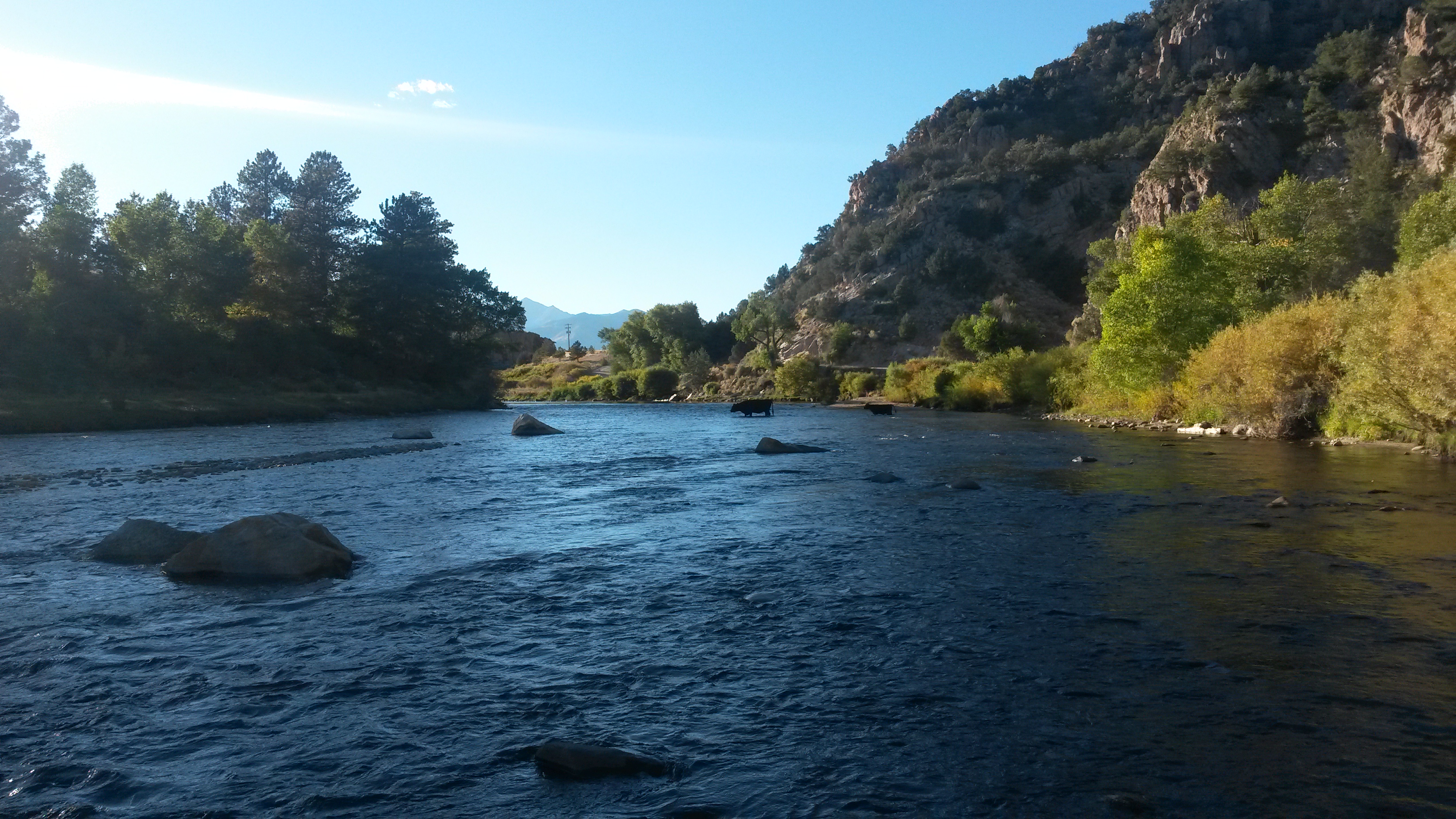
We left the campground and headed to the Bitter Lake National Wildlife Refuge just east of Roswell. This place along the Pecos River is the western border of the North American central flyway for migratory birds. Many of the wintering birds that call this home, including Sandhill Cranes, have already left to begin the migration north for the summer.

IMG_20160510_110534915

We had a nice drive and hike around the place, and saw several interesting birds, but we may have to come back in the wintertime to see the flocks.

We then drove into Fort Sumner to visit the Billy the Kid museum. While the museum had several Billy related memorabilia, like his gun, the museum was packed with all sorts of very cool stuff.

IMG_20160510_144115113

The antique guns they had there were impressive.

IMG_20160510_143607391

I was also crushed to see several good anvils as display items. They would be much happier in my forge.

IMG_20160510_143112697

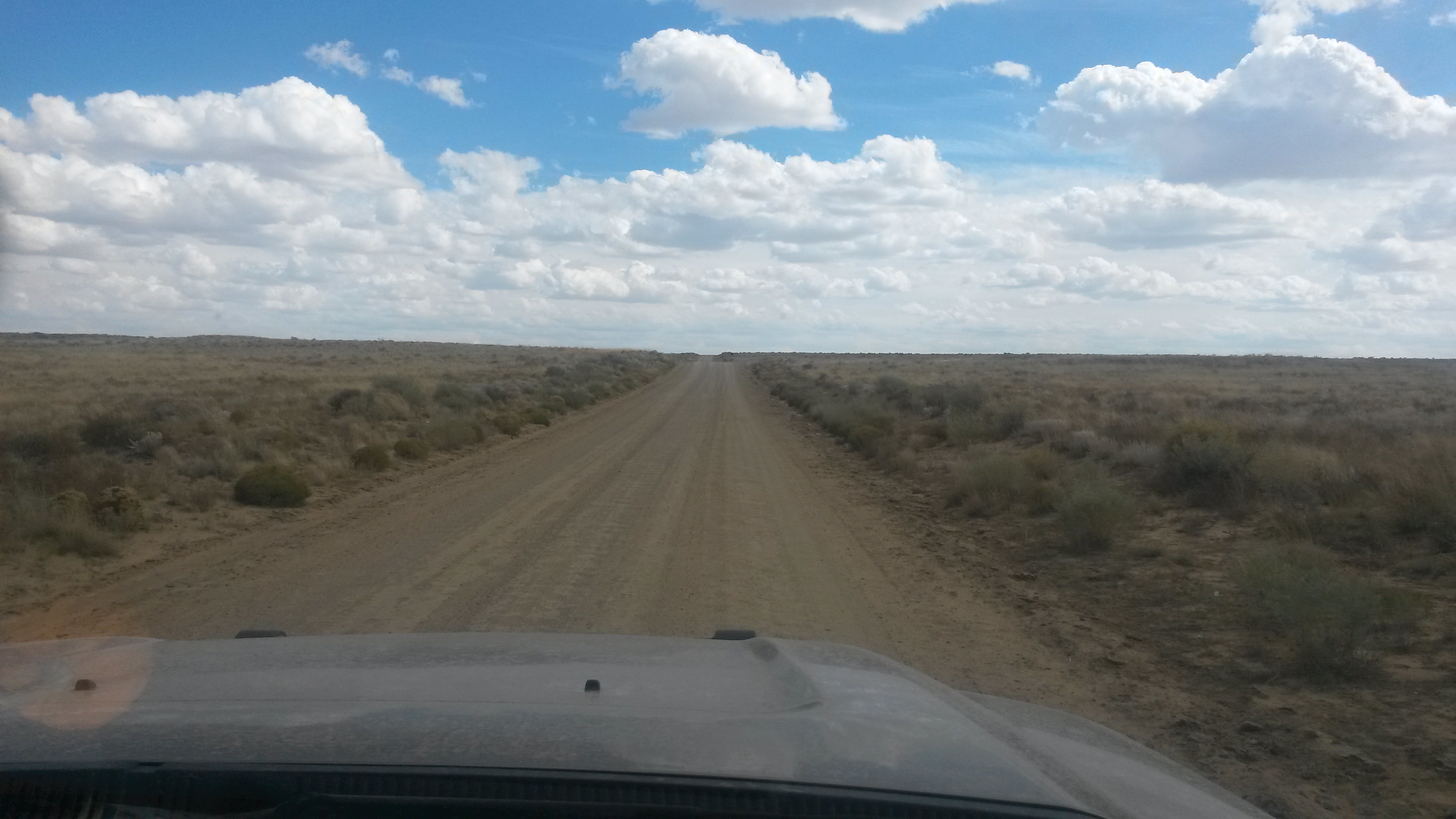
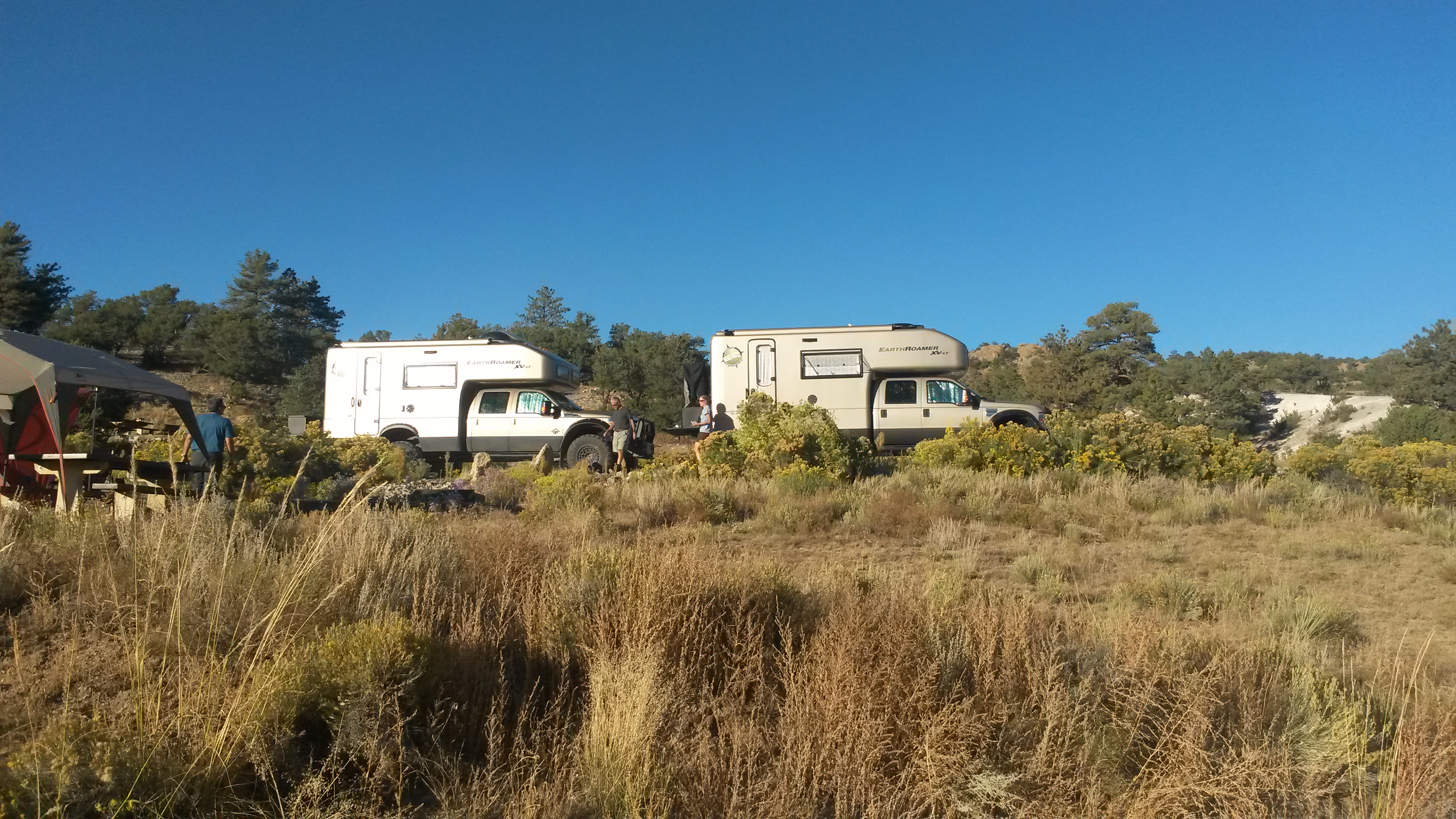
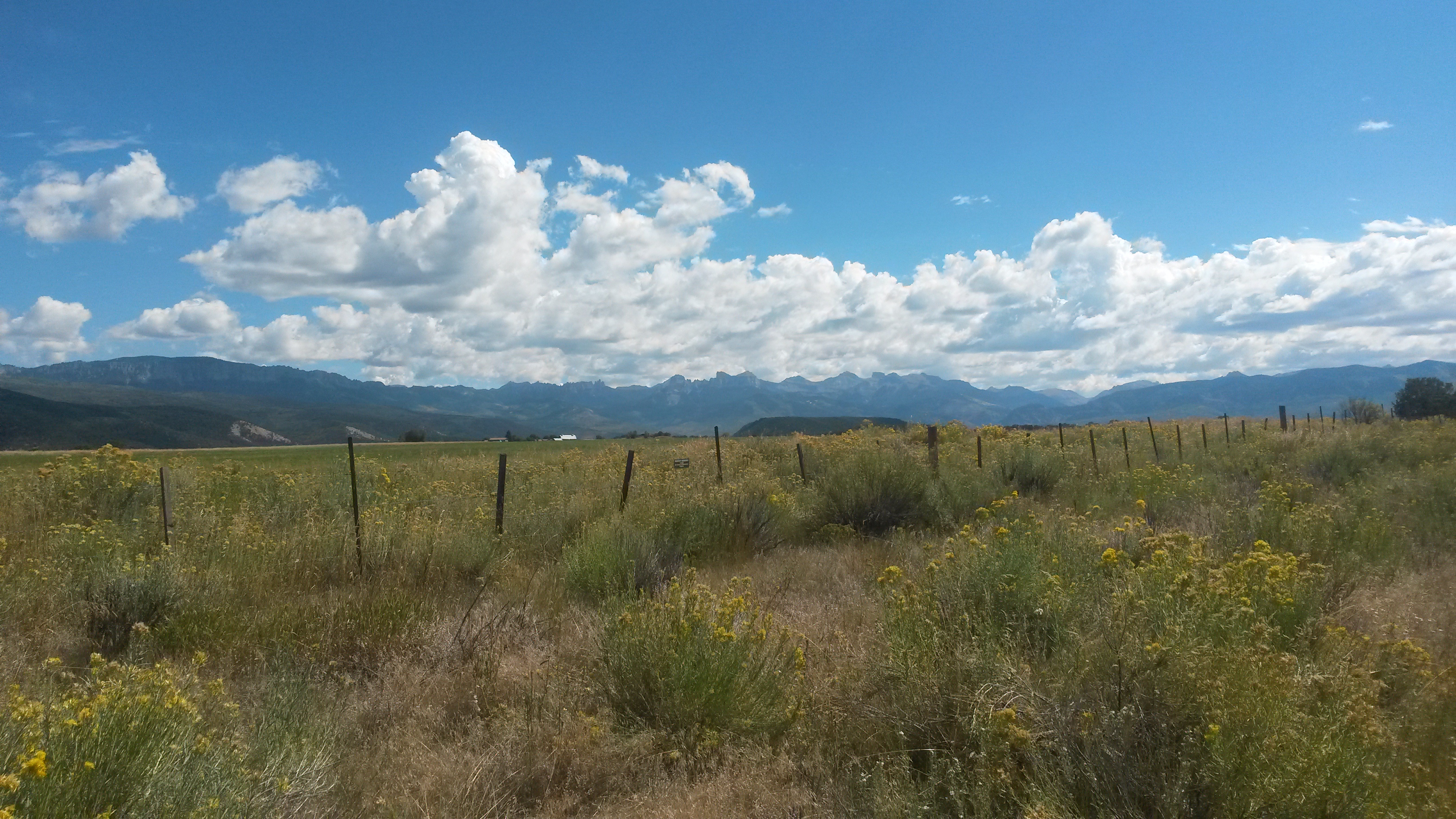
The area in this part of NM is wide open country. The wind blew constantly for several days across the open land that seemed to be only inhabited by cows, pronghorns and the few vehicles we passed.

IMG_20160510_131653919

We drove up to Santa Rosa, NM to see the Blue Hole. This is a spring that pumps water out of the ground at a rate of 50 gallons a second. Folks come here to scuba dive into the hole or just swim. With the water temperature at 61 degrees, we passed on the brisk swim.

IMG_20160510_155048157

IMG_20160510_154822026

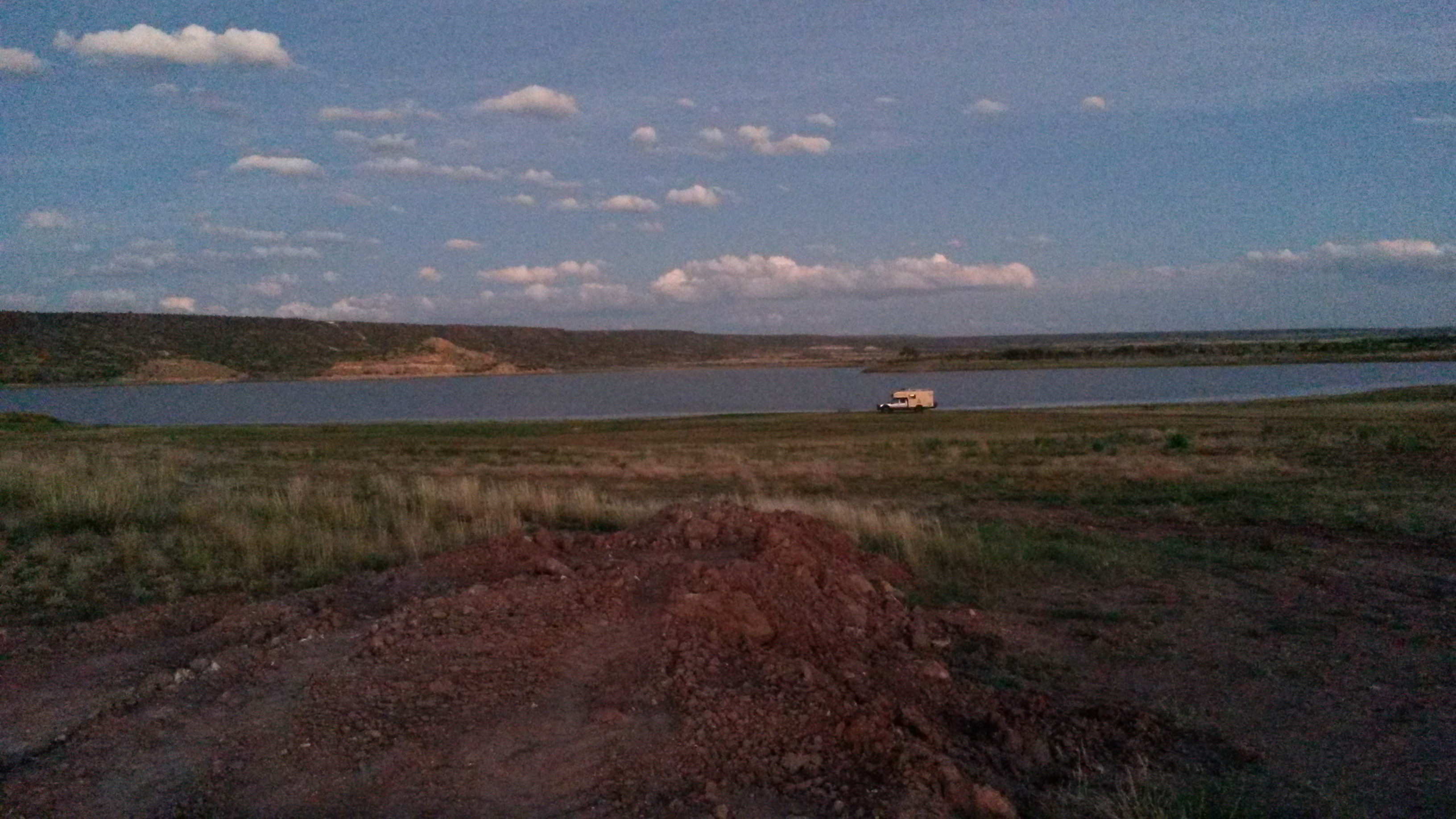
We camped the night at Santa Rosa Lake State Park. The NM state park system has good campsites and beautiful locations. We passed a few pronghorn entering the campground. While a cheetah may be faster in a short sprint, the pronghorn can keep its top speed up for many, many miles. It could be argued that it is the all-around fastest animal on the track, but ironically it would do poorly in the field events.

IMG_20160510_160608292_TOP

I was able to test out the griddle option for the volcano 3 at the campsite, mostly because of the constant 20 knot wind that was blowing through. Turkey burgers, with hatch chilies, bacon and pepper jack cheese grilled up nicely.

IMG_20160510_183728664_HDR

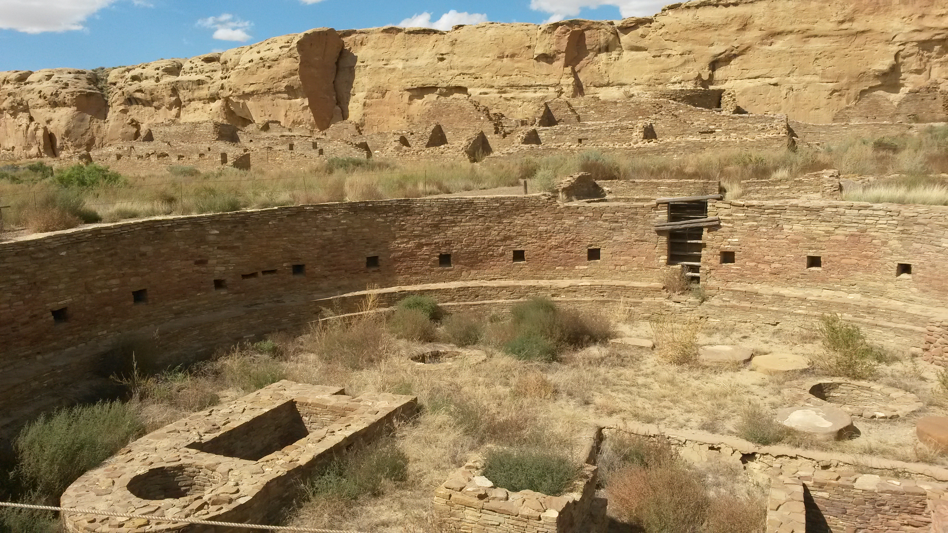
We then headed west again to Mountainair, NM to see the Salinas Pueblo Missions National Monuments. These missions were the northern part of the Spanish trade routes from Mexico City established in the 1580s, built by the local tribes for the Spanish missionaries. The wealth of the area was salt in the local dried lakes. The three mission sites are spread apart by roughly 30 miles. All were abandoned in the 1670s due to drought and famine that hit the area. The missionaries and Pueblo indians crossed over the mountains to the Rio Grande River basin to the west. It was 200 years before the area was resettled again and these missions re-discovered.

The most southern site is Gran Quivira, where the entire city was constructed from limestone.

IMG_20160511_133959674

Abo was the next more northernly site and the last to be abandoned in the 1670s. Sandstone was used to construct the northern missions.

IMG_20160511_150310801

Quarai was the most northern site in the Salinas area. The walls of the church are just massive. During their occupation, each of the churches were ornately decorated with items brought up the Camino Real trade routes up the Rio Grande River basin from Mexico.

IMG_20160511_161221756_HDR

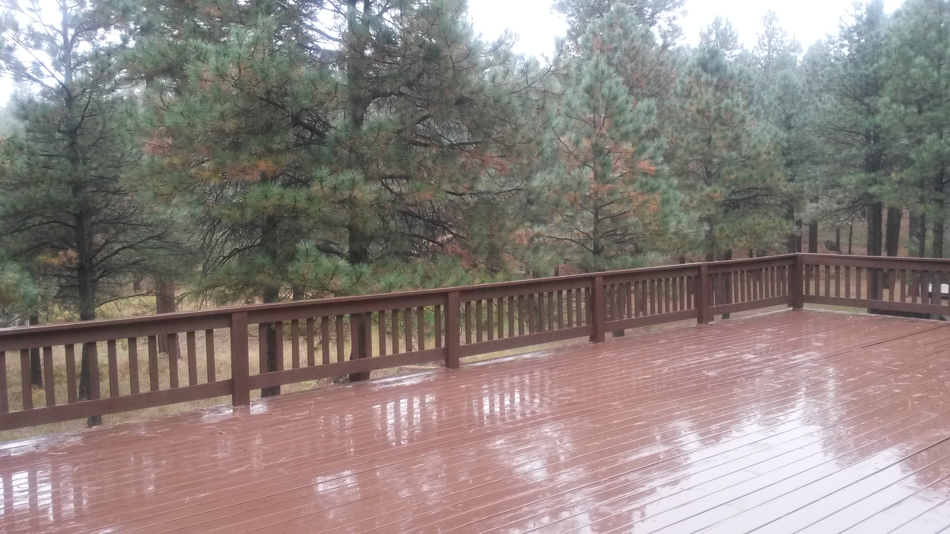
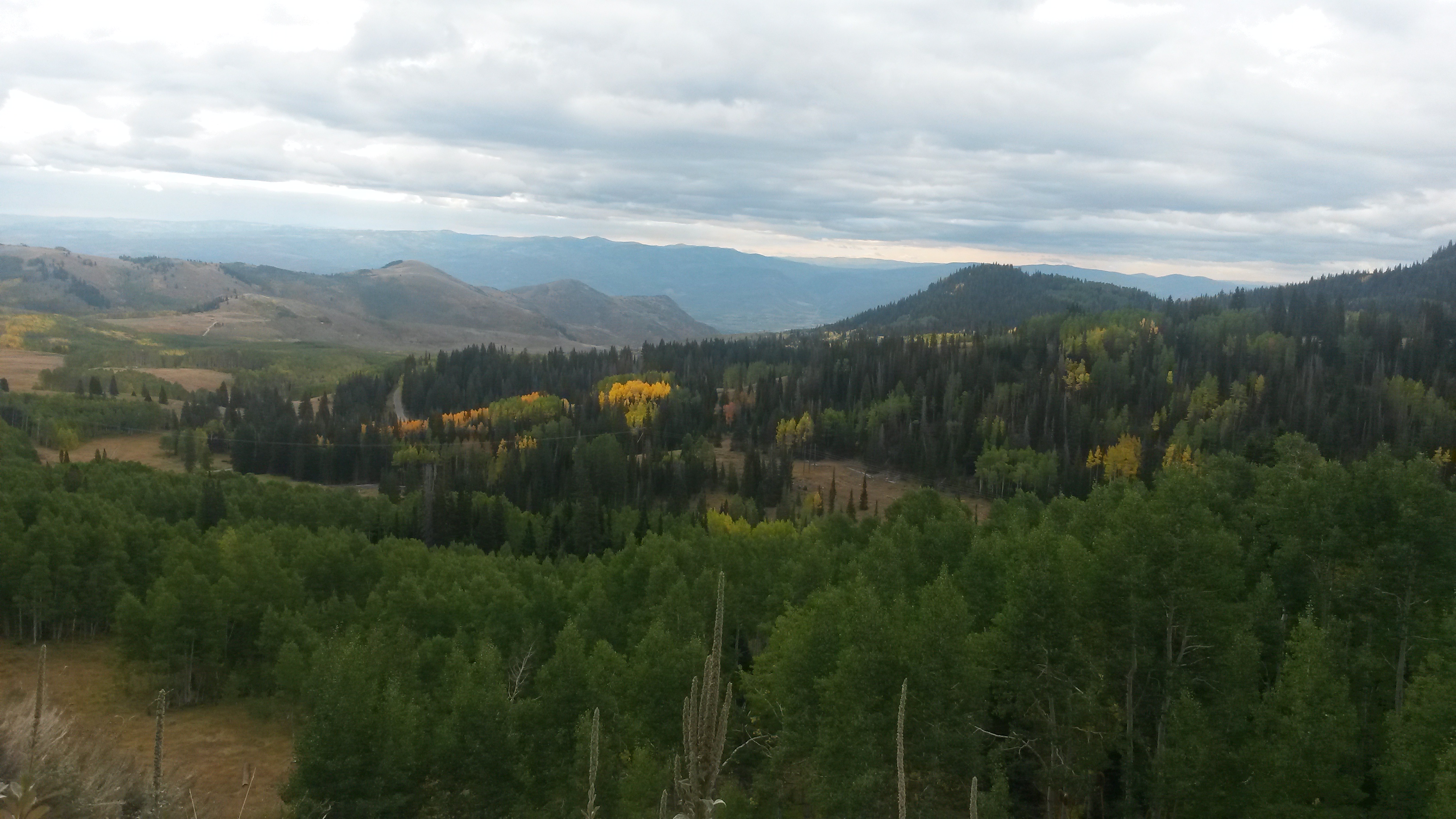
We headed back up into the hills and camped at Manzano Mountain State Park. I tried fish tacos tonight on the grill, with halibut, mango and pineapple. It was tasty.

IMG_20160511_192437520

Tomorrow we head into Albuquerque to see some friends and spend the night in a city.

On the Road to New Mexico

Pam and I finally finished all the things we needed to do in the valley and headed out for New Mexico, a place we both have wanted to explore. It was about two weeks later than we had originally planned, but just in time as the thermometer hit 100 degrees for the first time this year in Phoenix on the day of our departure.

We got a late start so we stopped at our place on the rim to relax and let the Roamer cool down, being 30 degrees cooler than the valley. The light snow from the week before had melted and the squirrels were back, quickly finding the full peanut feeder.

IMG_20160505_074824656_HDR

We always want to see new routes so we took highway 60 through Springerville into New Mexico this time. We made our way to a place I’ve always wanted to see – the Very Large Array on the plains of San Agustin. The 27 90-foot tall antennae are placed along one of three 13 mile long rail tracks to gather radio waves from far away galaxies.

IMG_20160505_163235499

You get how really big each of these antennae are when you get close to them.

IMG_20160505_163853554

A special train engine moves these guys along the rails, where the spacing along the 13-mile legs depends on the detail desired from the far away galaxies. They have configurations A through D, where configuration A spans the entire 13 miles in each direction and configuration D is for “Darn” close.

We asked the folks there about good places to camp nearby. They recommended the National Forest, but requested that cell phones are kept in airplane mode and no microwave use within 15 miles of the array. It’s pretty sensitive and picks up everything. We took state route 52, a graded dirt road, south from the array and dispersed camped in the Cibola National Forest.

IMG_20160505_170003308

IMG_20160505_192700015_HDR

It was a great spot, but the wind howled through the night and it even poured for a short time before the clouds disappeared and the stars came back out before dawn.

IMG_20160505_172133501

We dropped back out of the national forest and continued south on 52 to 163, and then onto FR150, a forest service road called Railroad Canyon Rd. The scenery was beautiful along the high plains and through the canyons. We spotted a lot of pronghorn in the fields.

IMG_20160506_094403868

IMG_20160506_105955924

The canyons we passed through were beautiful.

IMG_20160506_110554168_TOP

IMG_20160506_111831358

It was clear that this was cattle country. The new calves were romping everywhere.

IMG_20160506_113743765_TOP

We stopped for lunch by a small lake under some cottonwood trees.

IMG_20160506_122443540_TOP

IMG_20160506_125013823

Just after lunch we passed a father and two boys who were there turkey hunting, but the front hub on one of the trucks had failed. They had driven out in their other truck to get a new hub but didn’t have the right wrench to remove the old hub plate. Luckily I had one and was able to help out, given that we were about 100 miles and several hours from the nearest town.

The entire ride we were over 7000 feet, where the area alternated from grassland, to juniper to ponderosa. We camped for the night in the Gila National Forest, at the Black Canyon campground along a nice brook that was the headwaters of the Gila River. We were the only ones there. Many of the trees near the brook were felled by beavers but we didn’t see any around. They must have been moved away from here.

IMG_20160506_143301599

We finished the drive out the southern border of the Gila National Forest and hit pavement again after about 140 miles of dirt. Our cell phones came to life for a brief period as we jumped over the continental divide and then went “searching for service” again for the rest of the day.

IMG_20160507_092331498

IMG_20160507_093145006_TOP

We made our way to the Gila Cliff Dwelling National Monument. We bought our 2016 National Parks Pass (3rd year in a row for a park pass) and hiked to the dwellings.

IMG_20160507_133020467

The six caves that make up the dwellings would have been a nice place to live. The Gila River ran just below these cliffs and the view was spectacular.

IMG_20160507_131910567_HDR

IMG_20160507_132143342_HDR

The wood that made the roofs has long since decayed, but their placement was still very evident.

IMG_20160507_132339670

The area around the dwellings was also beautiful.

IMG_20160507_142004877_HDR

We camped the night by Lake Roberts at the Mesa campground. I used the propane option for the volcano grill for the first time and it worked nicely, although, I’m already coming up with design enhancements to make it more functional.

IMG_20160507_193202340

The last day of the 5-day Tour of the Gila bike race was Sunday. We broke camp early and headed to Silver City before the mountain roads were closed due to the race. The last day is a long leg through 2000 foot climbs and descents. It’s called the Gila Monster, where the racers hit speeds of 60 mph on some of the very steep winding downhills. Top racers from all over the world come for this and it’s a qualifying race for the 2016 Olympics. We saw several of the pelotons leaving Silver City since they do a staggered start for the various racing groups.

IMG_20160508_084833877

We headed south, making our way to the City of Rocks State Park. This is a very interesting place where the rocks must be the remnants of a volcanic core.

IMG_20160508_124630614

We got there early enough to do a great hike and a nice afternoon nap for Mother’s Day. The camp spots are all tucked into the rocks and named after planets and constellations.

IMG_20160508_194953553_HDR

Tomorrow we head towards Roswell, NM.

Cleator Bar and Yacht Club

Pam and I headed out for a short trip to central Arizona this week for some work and pleasure. Our first stop was at the Orme School where we volunteer our time helping around the place.

IMG_20160317_173507173

Spring is just starting to hit this part of Arizona, which sits at about 4000 feet in elevation. The weather was perfect, 70s in the day and 40s at night.

IMG_20160317_173514623

We finished up our latest residence renovation and did a little touch-up rework on one that we completed with others a few years ago. It’s now vacant and the previous occupant’s choice in the dining room wall color was a little too dramatic for an old block ranch house. I really like the kitchen in that house, where we redid the countertops with green slate tiles and rebuilt the lower doors since they were missing most of the corners and even some larger claw holes from the various ranch dogs that lived there over the past 60 years.

IMG_20160315_133841323

After our work was done we took off into the Bradshaw Mountains, an area rich in mining history with many ghost towns. Prescott is nestled in the northern foothills of the range, but we were more interested in the less populated areas. We exited the paved roads south of Cordes Junction at Bloody Basin Road and headed for the metropolis of Cleator, which in its mining heyday boasted a population of 60. Now it’s closer to a single digit.

We passed the Cordes Ranch along the road, where they have a corner store that used to be open from time to time. Unfortunately, it was closed when we passed by.

IMG_20160318_101254420

We then hit Cleator, and the Cleator Bar and Yacht Club.

IMG_20160318_113259545

We stopped in the general store and then made our way over to the bar. As you can see on the clock it was past 10 in the morning so were we good to go, and grabbed a cold one.

IMG_20160318_104618389

The Yacht club is out back.

IMG_20160318_105336462

IMG_20160318_105509570

There were only three of us when we arrived: Pam, myself and the next door neighbor that gave us a complete history of the place while we enjoyed the “marina”. However, by the time we left the place was pretty busy given all the 4-wheeler traffic, even for a week day. They have a local band, The White Trash Band, which plays on the weekend. They fire up the smoker, serve up some great smoked meat and according to our new friend it’s not unusual for several hundred folks to be in the marina at night. Parking along the dirt road is at a premium. You gotta love it.

We met two couples at the marina that were also traveling to Crown King, the next town along the road and higher up in the Bradshaw Mountains. The vistas along the dirt road were picturesque high desert.

IMG_20160318_115334697

IMG_20160318_115338980

We hit Crown King and the Crown King Saloon. Crown King was named after a gold mine that yielded a few million in gold before it closed in the 1950s. Now it’s a weekend getaway for 4-wheelers with a population of just over 100 folks.

IMG_20160318_122012658

We chatted with our new friends for some time and then headed out to find a good place to camp for the night. There were a lot of good spots, but we choose one that was tough to get into for normal 4-wheelers and far enough from the road to cut down on the dust from passing traffic.

IMG_20160318_140635111

One of the main objectives of the trip was to test out our new Volcano 3 cooker, and to see whether it could replace both our Weber and Coleman for future trips. The 3 in its name stands for its ability to cook with wood, charcoal or propane. We used charcoal for the first trial, since that is my favorite, and had burgers.

IMG_20160318_182042832

It did better than I expected, but we have yet to test the propane option. It will be tough putting the Weber aside, but change is inevitable. We got the attachment valve that will allow us to use the small green propane bottles and not a huge 20 lb bottle. We only use propane when fire restrictions do not allow open fires or charcoal. The ER has a nice diesel cook top and convection oven, but we prefer the grill if weather permits.

We had a great night under the moonlit skies and headed home on the Senator Highway towards Prescott. It’s a stretch to call it a highway and luckily there was very little traffic coming the other way. It was named after the Senator Mine and used to charge a toll back in the 1860s when it was built. I’m not sure it has been improved much since then.

IMG_20160319_092125084

We did pull over at one point so a crew of Expedition Portal folks with SUVs and trailers could continue on to Crown King since the road is never really two cars wide, especially when one is an EarthRoamer. The rest of the traffic was ATVers.

For a good section of the road you are wrapping around the mountain slope with many turns. One ATV rider came whipping around a corner with a GO-PRO on his helmet. That should be an interesting video to see him come around the corner looking at the F-550 grill. Luckily there was enough room for him to stop and he let us know there were more ATVs on the way so we could wait for the traffic to die down.

IMG_20160319_092037936_HDR

About half way to Prescott we hit an intersection in the woods with a shortcut to Mayer that we ended up taking. A Boy Scout leader was at the intersection and asked if we had any butter. Luckily we had a stick and gave it to him. He was in charge of dessert for the 30 boys camping there and forgot the butter for the blueberry cobbler. There’s nothing better than Dutch oven stew and cobbler when camping with a big group.

Back home again and planning for our upcoming New Mexico exploration.

Birding in Southern Arizona

With summer fast approaching Pam and I took off for a short road trip to southern Arizona to do some birding before they head north. We decided to take some of the back roads through the state, which made for a very enjoyable drive.

Heading south through Globe we hit the Mammoth – Benson highway, a nice dirt road east of Tucson. We missed the turn initially, but stopped to talk with a guy in Mammoth who just happened to be the grader of the road and gave us the current conditions.

20160223_150153

We stopped for lunch along the way in the desert surrounded by creosote and dry grassland.

20160223_151008

We camped a couple of days at Patagonia State Park, about 15 miles north of the Mexican border. It has a nice campground and a lake.

20160224_134649

It’s a big birding area in the winter and spring, with about 100 different birds to see in the area. We hiked around the lake and ran into the Green Valley Birding Club during our hike. Sometimes watching the birders is more interesting than watching the birds.

20160224_105846

The path followed Sonoita Creek. The spring leaves on the trees have not come out yet so shade was limited, making it easier to see the birds.

20160224_113226

We stumbled into a group that had found the Elegant Trogon in a mesquite thicket. While it’s the size of a raven we would have walked right by if they had not been there.

20160224_115326

We also saw some Cinnamon Teals, a Vermillion Flycatcher and a host of other birds.

We left Patagonia and headed east towards Tombstone. Just west of Tombstone is the site that used to be the town of Franklin, a train depot crossroads for the old west, but now just a ghost town.

20160225_105035

East of Tombstone I missed the turn again and ended up on a 4-wheel path through the desert along a buried gas line. After a fun, but short trek through the desert we connected with the paved road to Elfrida and the Whitewater Draw, the winter home of the Sandhill Cranes. The shortcut only caused Pam to say “you are not going up that” once so it wasn’t that bad. Man, I love this vehicle.

20160225_114417

We set up camp right at the viewing area in one of the four sites there. We created our own shade with our canopy and had a great view of the area.

20160225_164023

Birding can be tough, and it definitely builds a thirst.

20160226_122647

There were a few thousand cranes in the draw, along with many other ducks and raptors. The sheer number of cranes is amazing. It reminded us of when we were at a nature preserve outside of Homer, Alaska last summer and the ranger said if we were lucky we might see their breeding pair of cranes. When she asked if we wanted to borrow her scope to see the crane we explained that we we’ve been to the Draw and she said, “oh, never mind”.

20160225_175210

They fly north at daybreak to feed in the cornfields and return in the afternoon to lounge around the pool, my kind of bird.

20160227_064611

That’s the Chiricahua Mountains on the right and the Dragoon Mountains on the left. This is the area Geronimo and the Apache Indians held off the US and Mexican Armies for decades.

Another flock of smaller birds flew through in the morning, giving a better idea on how big the cranes really are in size.

20160227_065208

Like Patagonia, there are many birds that live in the draw. I spooked a few Northern Shovelers, Green winged Teals, and Cinnamon Teals.

20160225_175452

In the evening the cranes get active again, flying south against the sunset in the cool air for one last spin before dark. Then they seem to call to each other all night across the draw – not a place for light sleepers.

20160225_175232

20160225_181943

We left the there and headed north through the cornfields to Wilcox, where we stopped to see some of the local shops.

20160227_103009

We then headed up into the San Carlos Indian Reservation and took the long way around the San Carlos Reservoir.

20160227_125736

The desert on the south side of the reservoir was covered in spring flowers under the mesquite trees.

20160227_131333

We drove down to the water along one of the many dirt roads that branch off the main road, but we didn’t have a pass to stay the night. We ended up driving all the way around and across Coolidge Dam only to find out we had to drive further to the nearest store to purchase a pass.

20160227_135827

Rather than backtrack, we pressed on north towards Roosevelt Lake and the Tonto National Forest. While this is effectively in our backyard we’ve never camped there so we decided to stop for the night along the lake. We found the ranger station, picked up our Tonto pass and camped at Bermuda Flat for the night.

20160227_161315

The sunset was beautiful there and the nighttime temperature was perfect for a campfire next to the lake. We even spotted a few Clark’s Grebes doing their water dance across the lake for another lifer in the birding world.

20160227_182957

We headed home on the Apache Trail, a very picturesque dirt road that runs through the mountains and along the series of lakes that hold the water for the Phoenix area. The dirt road is “mostly” two lanes wide, but an early morning traverse was no issue given the light traffic.

20160228_085044

It becomes a paved road again at Tortilla Flats, where we stopped and walked around the few shops there. A classic car group was also there. I’m guessing they came from the Apache Junction direction and not the direction we arrived.

20160228_101953

Back home now for a few weeks before our next short trip, and then gone for the summer again.

The Ride Home

Due to partial day road closures north of Silverton, several of the folks cut out before the sun rose. Since Pam and I were heading south towards home we left at a more reasonable hour. The road back down into Silverton from our last campsite was picturesque in the morning light. The road is not what you would consider wide, but luckily the rush hour traffic was light.

20151002_080734

We dropped south out of Colorado and crossed into New Mexico near Chaco Canyon and the Chaco Culture National Historical Park. Neither of us had been there before so we decided to stop in and see the place. “Near” is a good description since no paved road is within 20 miles of the place. Chaco Canyon is the ancient Pueblo center that thrived between 800 and 1200 AD. What remains are the ruins of the great houses that were once the cultural centers along the migration and trade routes in the beautiful valley.

20151002_123732

Much of these multi-storied structures have collapsed and the wood beams of the roofs and ceilings eroded with time. However, most of the walls still stand as well as the ceremonial pits.

20151002_131844

20151002_135434

The drive south from Chaco Canyon was through the Navajo Reservation along some wide open roads.

20151002_143621

We intended to camp at El Morro National Monument, but we spent too much time hiking Chaco. The 9 spots at El Morro were occupied by the time we arrived. We instead continued across the Zuni Reservation and into Arizona, camping at Lyman Lake State Park. They had “beach” campsites, which meant you could park down by the water and had no hook-ups, which was perfect for us. It was not very crowded at the beach – lol.

20151002_182306

One of the things we learned at the rally was that we needed to operate our diesel systems a little more often than we were to keep then working correctly. This includes our diesel water heater, diesel air heater and the diesel cook stove. We fired up the stove, literally, and cooked a batch of bolognaise sauce and pasta for dinner. It was yummy.

20151002_191745

I was just about to toss some water out of the Roamer and Pam said, “don’t open the door”! We turned the outside lights on and the inside lights off to see the hundreds of bugs gathered outside waiting to get inside. While we didn’t need the insect protection we put in before our trip to Alaska up there, it came in handy here. Not one of the buggers got in through the screen or hatches all night.

20151002_195308

We stopped the next day at our place up on the Rim for the weekend before dropping back down into the valley. While the snow was a little lighter than hoped last winter, this summer has been wet and the forest looked great – sorry California. Had to take care of some house maintenance issues and I’m sure there will be more when we get home after nearly 4 months on the road. It rained 3 more inches while we were there.

20151004_094150

We dropped out of the clouds off the Rim and there were more clouds south of Payson than I can ever remember seeing this time of year.

20151005_104055

The sky broke open as we approached the valley and we passed by the first saguaro we’ve seen in many months.

20151005_113023

We’re home now after 13,585 miles on the road. This does not include the 1700 miles on the ferry getting to Haines, Alaska. It was a total of 113 days for Epic Trek 2 and my sticker collection in the utility box is growing.

20151005_153102

What a great trip.

The Rally

Once a year the EarthRoamer folks put together a rally for the owners. It’s a great chance to meet other owners, talk with the EarthRoamer personnel and learn more about the capabilities of the vehicle. Pam and I went to the owner’s rally two years ago, right after we bought the Roamer. It was held in and around Monument Valley for an unforgettable week. Last year, Pam and I were still on the road back east on our Epic trek number 1 and missed the rally in northern Colorado.

This year’s rally would all be at campsites in excess of 9,000 feet and started near Silver Jack Reservoir. The road over Owl Pass to get there was very colorful.

20150926_122507

Lou, Nancy, Pam and I arrived a day early to relax and hike around the area. Just beyond the campsite location was a nice pond with the fall colors in full force.

20150926_153004

20150926_154519

The campsites are typically just open fields that require 4 wheel drive to get there. Here are a few of the rigs backed up to the trees at the first campsite. We had a great campfire and watched the eclipsed moon come up over the mountains the first night of the rally.

20150927_171718

The rally moves as a convoy to get to the different campsites. Here’s one of the lineups along the remote roads the rally typically travels before moving out towards the next site.

20150928_103553

The next campsite was up in the hills above Telluride, Colorado along the Last Dollar Road. The drive there had some incredible vistas.

20150928_113524

20150928_142313

The campsite was in a field off the road. There were some incredible campsites along the road, but it was amazing how many folks were out camping during the week to see the fall colors.

20150928_153731

The next day we dropped down into Telluride and the valley looking up into Telluride was pretty picturesque.

20150929_100018

We then made our way up into the hills behind the Purgatory ski resort outside of Durango, Colorado.

20150929_173518

We spent a couple of days here, going over the design features of the rigs, and back-road travel basics like winching. I got to break out my chainsaw to section a downed tree for the roaring campfire that even included a great guitarist in from Boulder and a bourbon and apple cider concoction that was perfect for the fall season.

20150930_120221

Some of the rigs had to leave early, but we got a group shot of the remaining folks before heading to the last campsite.

20151001_110127

The last campsite was in the hills outside Silverton, Colorado up near Stoney Pass. There was a horse corral where we camped that seemed fitting since our Roamer is our new-age steed and pack animal.

20151001_190048

The rally was a blast. Great people, great scenery, learned a ton more about the capabilities of our Roamer and had a great time. Can’t wait to see where the rally is next year.

Colorado Fishing

Colorado has been our destination for a couple of weeks. We had an appointment at the EarthRoamer factory, located in Dacono, to have the camper part of the rig serviced after our trek to Alaska. We also planned to attend the 2015 EarthRoamer owner’s rally in the San Juan National Forest, and to meet up with Lou and Nancy, other EarthRoamer owners, prior to the rally for a week of fishing and hiking.

To get to Dacono, which is just north of Denver, we crossed through the Rocky Mountain National Park. The drive was very scenic with the fall colors everywhere at the higher elevations. We stopped at the summit visitor center to climb to the peak at 12,005 feet. This is above the tree line so there was only the tundra vegetation up there.

20150916_141940

The stone path up to the peak was exposed to the 40 mph wind that was blowing across the range. Luckily, it was a tailwind going up so it helped to push us up the hill.

20150916_142205

Shortly after we descended back to the parking lot it began to drizzle over some parts of the park. As we drove down the other side of the mountain we saw a rainbow in the valley below. Neither of us has ever been above a rainbow before. There was an overwhelming feeling to break out into song – “ somewhere …..”, but then again we weren’t in Kansas.

20150916_144854

We got to Dacono and had the rig serviced. Besides the planned work they also fixed a couple of other issues. The right front lower shock’s 3/4 inch mounting bolt had broken somewhere along the trip and finally worked its way out the day we arrived for service. Our shock was just dangling from the upper mount. The air suspension system covered for the shock, but it’s hard to explain to the service folks that you know what you are doing when major components are just dangling below.

Also the front light bracket we had welded in Whitehorse failed again so we had new, better brackets installed to eliminate this issue for good – we hope. Or maybe it will now allow us to explore rougher roads – lol.

After we left Dacono, we stopped in Golden, Colorado for some great pizza and beer at Woody’s and camped nearby at Chatfield State Park for the night. The next day we made our way south and west to the Arkansas Headwaters Recreation Area near Salida, Colorado.

We met up with Lou and Nancy at Ruby Mountain campground. While they live in Colorado, they were returning from a trip back east for the last two months in their rig, named Gus.

20150918_180144

The campground is next to Brown’s Canyon National Monument, one of the newest designated national monuments. It’s a huge recreation area with both fishing and many dirt roads running into the mountains. We stayed there a few days to take a break from driving. We hiked the area and found three geo-caches among the rocks along with Apache tears and a minuscule flake of garnet that we left for future scavengers.

20150919_134912

Some of the roads back into the canyon area require a little more than just 4 wheel drive. Here was a tricked out jeep with maybe a little more than normal articulation in the suspension to make it through some of these back-country spots.

20150919_131211

The area is best known for its fishing. We spent a few hours in the Arkansas River pulling out rainbow trout. It’s also an open grazing area so a couple of cows made their way across the river to the better grass on the other side.

20150920_174506

Pam caught a picture of me in the stream with the pole I picked up in Missoula. I need to switch back to my fly rod at some point.

20150920_182404

We visited Salida and had lunch at the Laughing Ladies restaurant downtown. Salida is a neat little town that could be on the list of future hometowns. The 4 of us left there and headed west across Monarch Pass to Gunnison and Montrose, Colorado. The leaves along the drive were in full fall colors.

IMG_5553

We camped at the Ridgeway reservoir, also known for its fishing in the ponds and streams along the campground. We had a night on the town in Montrose, at the Horsefly Brewery. It was “open mic” night and the folks that stopped in to play and sing were amazingly good, along with the beer and food. We also did some hikes around the reservoir and campground while we were there. Montrose could also be a future home site – too many choices…..

20150923_141938

The EarthRoamer Owner’s Rally is next week, and the 4 of us will be there with 16 other rigs. This year’s rally will be in the back-country of the San Juan Mountain range, just over the hills towards Ouray, Colorado in the picture below. After the rally Pam and I will be heading home, ending the 2015 Epic Adventure. We’ve already eclipsed the 2014’s driving distance (12,600 miles) and days on the road (100 days). We’ll see what the final values are when we roll into town early next month.

20150923_132032

Northern US Rockies

We spent a great week in Missoula that included the Labor Day weekend catching up with family. One day while exploring downtown Missoula we came across a second hand store that boasted that it had everything. After we got inside I would agree. We even found used dental picks in the place. I did pick up a fishing rod and lure for a good price.

20150904_134019

On Labor Day we hiked to a nearby falls. The beauty of the view from the top and the cascading falls almost made up for the near vertical scramble to get up there and back. The only downside of the trip was the place we intended to go afterwards to get some huckleberry shakes had closed by the time we made it down.

However, we did pick up a huckleberry pie in a small store outside Glacier on our way into Missoula. For those not familiar with huckleberries, there are related to the blueberry but much better. The pie didn’t last long, which in part drove the huckleberry craving for the shakes.

20150907_140109

20150907_140059

The first snow of the year on the nearby peaks occurred on the Sunday night before Labor Day. We had a good dusting of snow on the peak of the mountain near where we hiked. We didn’t go that far up, but our nephew and his buddy drove out Sunday night and hiked up one of the local peaks that did get a good accumulation to get the first ski runs down for the year.

20150907_123528

You see a wide range of vehicles at a trailhead parking lot but this was a first – a horse and buggy. The young couple caught up to us on the trail up to the waterfall and were still there enjoying the beautiful vista and afternoon when we headed back down. The dirt road to the trailhead was pretty bumpy. I wonder how smoothly a carriage rides through pot holes?

20150907_153716

When we left Missoula, we headed south into Idaho, and camped at Craters of the Moon NP. We both like the area very much. It was the first clear skies we had since leaving home, so we reclined in our chairs and watched a million stars appear on a night with a new moon.

The next day we explored the areas we missed the previous visit there last year. The lava fields are impressive.

20150912_095248

The volcanic activity that created this area was only 2,000 years ago, which is not that long ago for such a massive landscape changing event. Slowly the vegetation is making headway to break down the lava and transform it into future fields. This is some lichen that has dotted the cinder cone field.

20150912_103750

We hiked the tunnels and caves this time. Some of the lava tubes are very large, like this one.

20150912_110033

We then made our way to Salt Lake City to visit Pam’s brother and his family. His sole surviving chicken, Matilda, has the run of the yard and garden. However, I think she misses the pecking order.

20150912_184604

We left Salt Lake City heading east, taking a non-freeway route out of the city up Big Cottonwood Canyon and over the mountain to Heber City. Fall colors are starting to show at 7,000+ feet of altitude.

20150914_111804<20150914_113434/a>

We shot across northern Utah and hit the Dinosaur National Monument. This park spans both Utah and Colorado, but the Utah side has all the bones. They dug up over 100 tons of bones and shipped them all over the world, but mostly to the Carnegie Museum in Pittsburgh. The area where they dug is now preserved with hundreds of bones still in the rock. The ranger told us that the place used to have seven paleontologists on staff when they were digging up bones, but all but one left because they kept digging up the same type of bones. The one left is nearing retirement and as the ranger put it, “there’s nothing worse than an old cranky paleontologist”.

20150914_155837

20150914_155418

We camped at the Green River campground in the park. The other campground in the park is where the boat trips coming down the Green River end. It was beautiful there.

20150914_162420

20150914_162433

We hiked around a homestead that a single lady had for 40 years into her 90s in a beautiful box canyon, near some incredible petroglyphs.

20150915_104013

20150915_100937

This is the type of landscape this vehicle was made for, open and off road. It was nice to be back in this type of country. It reminded us of a kid in Jasper that jammed his arm up to his elbow into a limestone hole in the rock, as he said to his Mom, “I wonder what’s in here?” Both Pam and I looked at each other and agreed it was obvious that kid has never been to the desert.

20150915_101138

We left the Utah part of the park and made our way to the Colorado side. The visitor center on the Colorado side was made of flagstone, with an interesting pattern of side and edge pieces.

20150915_115554

While the Utah side may have the bones, the Colorado side has the Green and Yampa Rivers confluence, and the incredible beauty of this area. A summer storm hung over us during the night and threatened all day with light rain.

20150915_121251

The Yampa and Green Rivers confluence was jaw-dropping beautiful. I’m sure on a sunny day the colors are just incredible in pictures, but for us it was clear to see even with the clouds. This is where the Yampa comes in from the center and the Green comes in from the left.

20150915_142220

This is where the Green goes out to the west. There are some boats of a river trip near the last bend of the river.

20150915_142307

There is a campground at the confluence and a dirt road that run out of the park to the east that we were advised not to take due to the rain. The mud in this area turns the roads into a surface as slick as ice and impassible even with four-wheel drive. A ranger we talked to after we left the park told us of a time he could not even get his dirt bike out after a rain due to the slick road. If we didn’t have an appointment in Dacono on Thursday that we had to keep we would have gone down. There are much worse places in the world to be stuck, like Philly – lol. We’ll definitely be back to travel that stretch of road and camp down at the confluence.

20150915_145632